Curated by
ACT
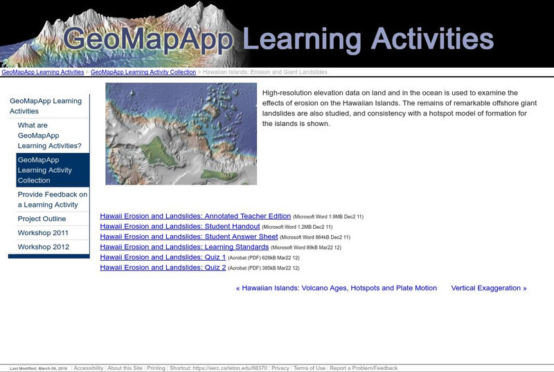
High-resolution elevation data on land and in the ocean is used to examine the effects of erosion on the Hawaiian Islands. The remains of offshore landslides are also studied, and consistency with a hotspot model of formation for the islands is shown.
3 Views
0 Downloads
Concepts
Additional Tags
Classroom Considerations
- Knovation Readability Score: 4 (1 low difficulty, 5 high difficulty)
- The intended use for this resource is Instructional

