Curated by
ACT
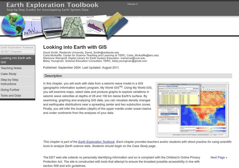
Multi-lesson activity where learners will work with data from a seismic wave model in a GIS (geographic information system) program. They will examine maps, select data, and produce graphs to explore variations in seismic wave velocities at different depths below Earth's surface. By examining, graphing and analyzing GIS data, they will be able to understand the relationship between earthquake locations, plate boundaries, and seismic waves.
3 Views
2 Downloads
Concepts
Additional Tags
Classroom Considerations
- Knovation Readability Score: 4 (1 low difficulty, 5 high difficulty)

