Curated by
ACT
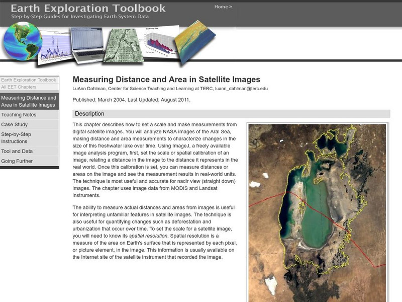
Students will select from a series of Satellite images of the Aral Sea from 1973 through 2003 and will measure changes in the area of the lake and distance across the lake over time.
3 Views
0 Downloads
Concepts
Additional Tags
Classroom Considerations
- Knovation Readability Score: 4 (1 low difficulty, 5 high difficulty)

