Curated by
ACT
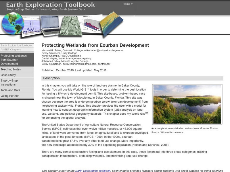
Students will take on the role of land-use planner using My World GISTM tools in order to determine the best location for issuing a fifty-acre development permit and then navigate land-use, wetland, and political geography data.
3 Views
0 Downloads
Additional Tags
Classroom Considerations
- Knovation Readability Score: 4 (1 low difficulty, 5 high difficulty)

