Curated by
ACT
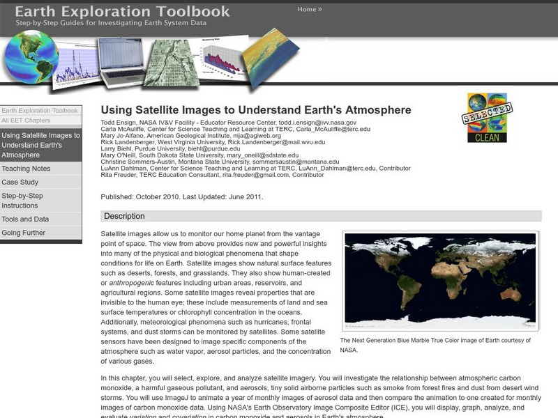
This lesson helps students select, explore, and analyze satellite imagery. Students investigate the relationship between atmospheric carbon monoxide and aerosols. Incorporate ImageJ to animate a year of monthly images of aerosol data and then compare the animation to one created for monthly images of carbon monoxide data. Using NASA's Earth Observatory Image Composite Editor (ICE), students will then display, graph, analyze, and evaluate variation and covariation in carbon monoxide and aerosols in Earth's atmosphere.
3 Views
0 Downloads

