Mathed Up!
Bearings
Keep the math straight and true. Using information learned about angle relationships, pupils determine drawn bearings, or draw a line with a given bearing. The accompanying video provides the definition of a bearing and its three...
Curated OER
Measure: Bearings and Scale Drawings
Young mathematicians practice measuring acurately with a protractor. They convert measurements using a scale factor, then translate the new information into diagrams. This lesson should be a hit in that it's mostly hands-on work with the...
Curated OER
Measure: Bearings and Scale Drawings
Pupils practice drawing geometric figures. In this geometry lesson, learners complete an activity that requires them to draw angles and shapes to the nearest degree.
Curated OER
Bearings
In this online bearings learning exercise, students complete a variety of online exercises involving traveling in different directions. Students check their twenty-one answers as they go and the computer computes their final overall...
Curated OER
Science: Reading a Compass
Students demonstrate how to take bearings using a compass. In pairs, they select objects in the classroom then write down its first initial and bearing. They exchange papers and try to disciver their partner's object.
Maths Revisions
Scaled Drawings
Your carpenters will enjoy learning scaled drawing techniques and applying their new knowledge to make some real-life scale drawings of gardens. Your carpenter scholars will be reviewing some basic skills in a warm-up section of problems...
Curated OER
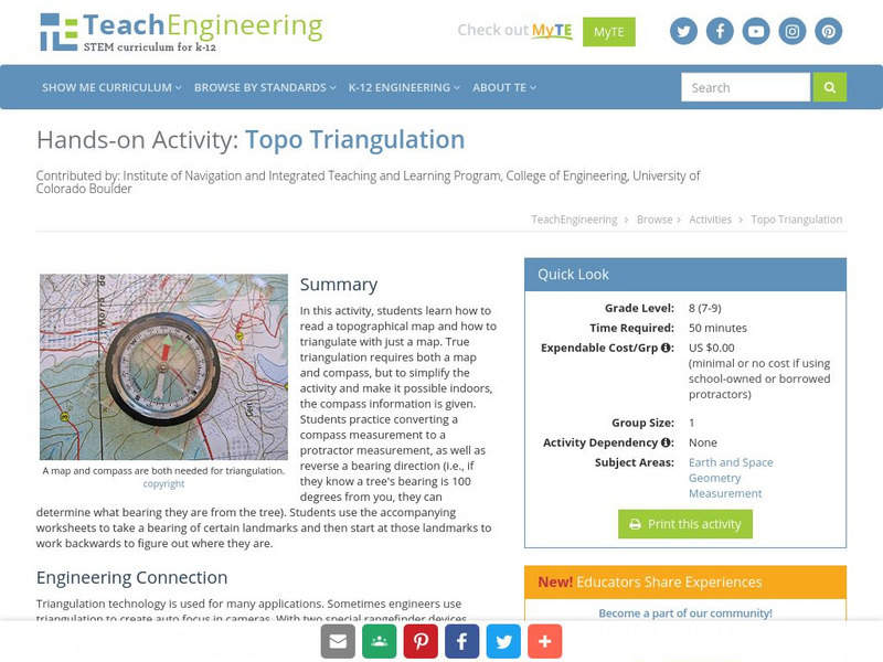
Topo Triangulation
Students investigate how to read a topographical map and triangulate with just a map. They convert a compass measurement to a protractor measurement, reverse a bearing direction, and using a worksheet take a bearing of certain landmarks...
Curated OER
Orienteering
Students acquaint with co-participants and identify the practice basic compass functions and orienteering procedures. They also work together to solve a small challenge. Students then identify how the challenge of orienteering relates...
Curated OER
MAPPING THE SCHOOL FOREST
Students measure distances and directions using paces and a compass. They determine their own pace, explore how to read a compass bearing, and how to take bearings on given sites.
Curated OER
Mapping with a Compass: A Simulated Survey
Students use compasses and grids to map the locations of artifacts found in a simulated dig site. In groups, they role-play as future archeologists excavating a school site. Groups begin at their assigned datum and site the artifacts...
Curated OER
Getting to the Point
Students determine location by using the technique of triangulation. They imagine that they are out in the wilderness and have come to the top of a ridge. How can one identify the ridge on the topo map? How can one figure out where you...
Curated OER
Orienteering II
Students name the parts of a compass and comprehend the function of each part. They define paces and tallies and use them in a real world situation. Students are shown the proper use of radio terminology. They use a map and compass to...
Curated OER
Classroom Triangles
Students use bearing measurements to triangulate and determine objects' locations. Working in teams of two or three, students must put on their investigative hats as they take bearing measurements to specified landmarks in their...
Curated OER
Space Science:Wherever You Go, There You Are
Students explore navigation principles by observing, measuring, and interpreting data to determine locations. Using a compass, compass rose, and a transit, they plot courses and discover the workings of the Global Positioning System...
Curated OER
Which Way Is North?
Students investigate the concept of finding locations with the use of a compass and a map. They practice the skill of bearing and set up courses of travel to different destinations around the school grounds. Students also practice taking...
Curated OER
Blazing the Trail
Learning about proportions through measuring and mapping distances is the focus of this real-world math instructional activity that doubles as an activity. Mathematicians complete a course designed to measure and map locations in order...
Curated OER
Red October
Fourth graders follow directions given in bearings. They invent their own maps using them and use a protractor to help them with their designs. Students
produce their own maps with instructions for navigating the maps. The channels...
TeachEngineering
Teach Engineering: Classroom Triangles
In this activity, students will use bearing measurements to triangulate and determine objects' locations. Working in teams of two or three, students must put on their investigative hats as they take bearing measurements to specified...
ClassFlow
Class Flow: Bearings
[Free Registration/Login Required] In this lesson the students select appropriate tools (e.g. compasses and protractors) to measure angles and analyze bearings (N, E, S, and W).
TeachEngineering
Teach Engineering: Topo Triangulation
In this activity, students will learn how to read a topographical map and how to triangulate with just a map. True triangulation requires both a map and compass, but to simplify the activity and make it possible indoors, the compass...
Discovering Lewis & Clark
Discovering Lewis & Clark: Portage Route Survey
Features an example of a route survey conducted by William Clark in 1805 of the falls, rapids, cascades and ravines from the lower portage camp to the upper falls (Black Eagle) and beyond, using a circumferentor (surveyor's compass) to...


