CommonLit
Common Lit: Maps
A learning module that begins with "Maps" Yesenia Montilla, accompanied by guided reading questions, assessment questions, and discussion questions. The text can be printed as a PDF or assigned online through free teacher and student...
Success Link
Success Link: Explorer Poetry Booklet
After a study of explorers in the Americas, students write poetry to show what they know about individual explorers. This lesson plan gives guidelines, ways to adapt the instructional activity, a graphic organizer, and scoring guide.
Curated OER
Mc Graw Hill: Key Ideas and Details: Use Text Evidence
Learn how to analyze primary and secondary sources using text evidence. An example is provided. (Note: Exercises don't load in archived copy.)
Texas Education Agency
Texas Gateway: Analyze Graphical Sources: Practice 2 (English I Reading)
You will look at each of these types of graphs: bar graph, line graph, pie charts, as you work your way through the lesson.
Texas Education Agency
Texas Gateway: Reading Like a Writer: Text Types
This site offers four downloadable videos: 1) Major text types commonly used across content areas; 2) Reading like a Writer, Charting 1; 3) Reading like a Writer, Charting 2; 4) Reading like a Writer, Charting 3. It also offers handouts.
Volunteer Voices
Volunteer Voices: Mapmaking [Pdf]
For this lesson plan young scholars will explore the mapmaking craft, examine the Lewis and Clark maps,identify and apply mapmaking techniques and tools.
National Geographic
National Geographic: Cardinal Directions and Maps
What are the cardinal directions and how are they used? Discover them and practice using them to find places on maps.
Rice University
Rice University: Cynthia Lanius: Mathematics of Cartography
Can there be a connection between map making and math? Explore the mathematics of cartography in this resource that integrates web-based instruction, mathematical problem solving, geometry, history, and art. Interesting information and...
Other
Dade Schools: John Ferguson: Informational Text Features
A table explaining different text features including graphics, visuals, and sections found in text.
BBC
Bbc: Bitesize Geography: Os Map Skills
A short tutorial on mapping tools and how to read maps. Covers features of maps, symbols, the compass, scale, distance, how height is represented, and grid references. Includes multiple-choice quiz at the end.
Tech4Learning
Tech4 Learning: Graphic Organizer Maker
Tool for making customized graphic organizer worksheets to use in the classroom. Choose from concept maps, KWHL charts, Venn diagrams, timelines, cycles, and more.
Edutopia
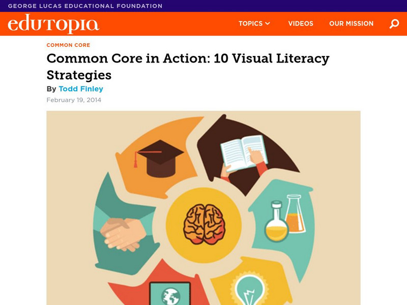
Edutopia: Common Core in Action: 10 Visual Literacy Strategies
Explicitly teach a collection of competencies that will help students think through, think about, and think with pictures.
CPALMS
Cpalms: Ela Informational Text 6 8 Element Cards
This 38-page resource will assist middle school English Language Arts teachers as they plan for an informational text unit.
Columbia University
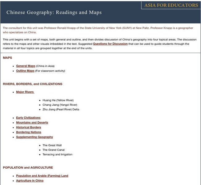
Asia for Educators: Outline Maps
The outline maps are designed to be used as transparencies that can be overlaid on an overhead projector to demonstrate the diversity of China's physical and cultural geography. Copies can be printed out and reproduced also for student...
California Digital Library
Calisphere: Maps
A broad selection of images featuring maps can be found on this site by Calisphere. By clicking on individual images you'll find high quality photographs and image information.
Curated OER
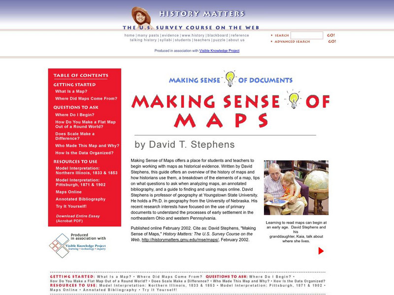
History Matters: Making Sense of Maps
Very detailed site from History Matters containing an explanation of how to read maps and understand them. An excellent resource for teachers. The site covers how to begin, how to use a scale, how to create a flat map for a round world,...
PBS
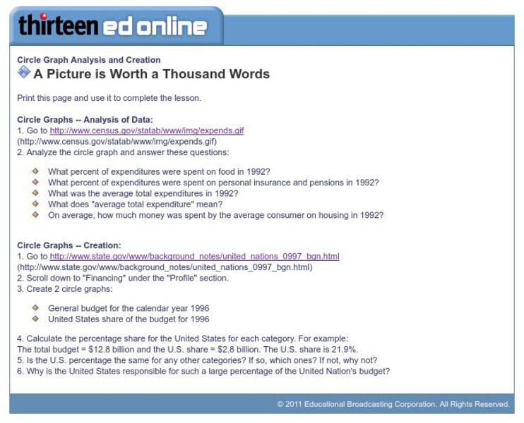
Wnet: Thirteen: Circle Graph Analysis and Creation
This site, which is provided for by WNET, gives a great way to practice using circle graphs through these exercises. One is analyzing a pie graph from the Census Bureau and the other creating pie charts using government data.
Rice University
Rice Univ.: Cynthia Lanius: Mathematics of Cartography: History of Mapmaking
Surveys the history of mapmaking from prehistoric to current times with an illustrated chronology.
Rice University
Rice University: Cynthia Lanius: Mathematics of Cartography: What Are Maps?
Defines what maps are and provides illustrations and related links to a site devoted to cartography.
Rice University
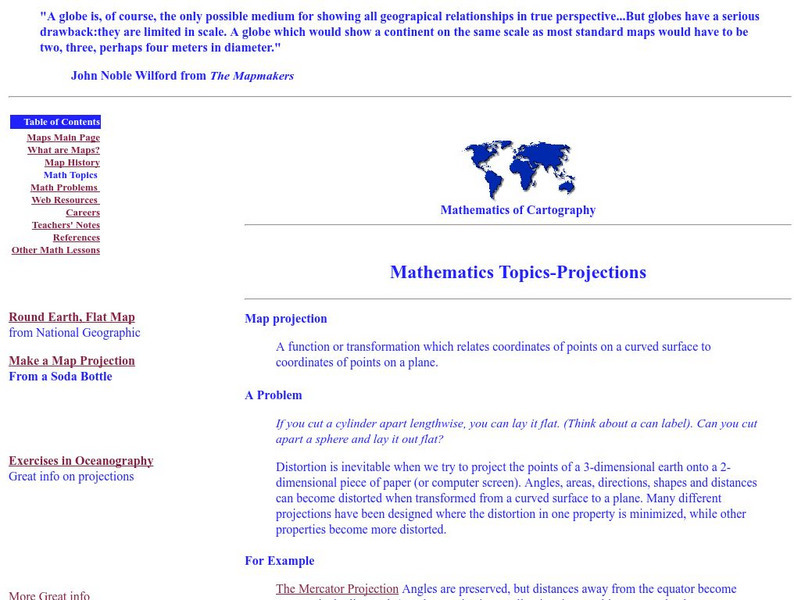
Rice University: Cynthia Lanius: Mathematics of Cartography: Projections
Understanding map projections is an important map-reading skill. Features graphics and links to examples of many different projections and an activity on making a Mercator projection.
E Reading Worksheets
E Reading Worksheets: Text Structures
A complete reading activity covering text structure with several interactive practice questions. Press the "play" button to access the material.
Other
The Topic: Charts and Graphs
Brief descriptions of charts and graphs, followed by links to larger sites on the same subject.
English Zone
English Zone: Chart Reading Practice 1
Practice reading and understanding information when it is provided in chart format. This website provides a simple chart and asks questions about the chart's information, which can be answered and checked.
English Zone
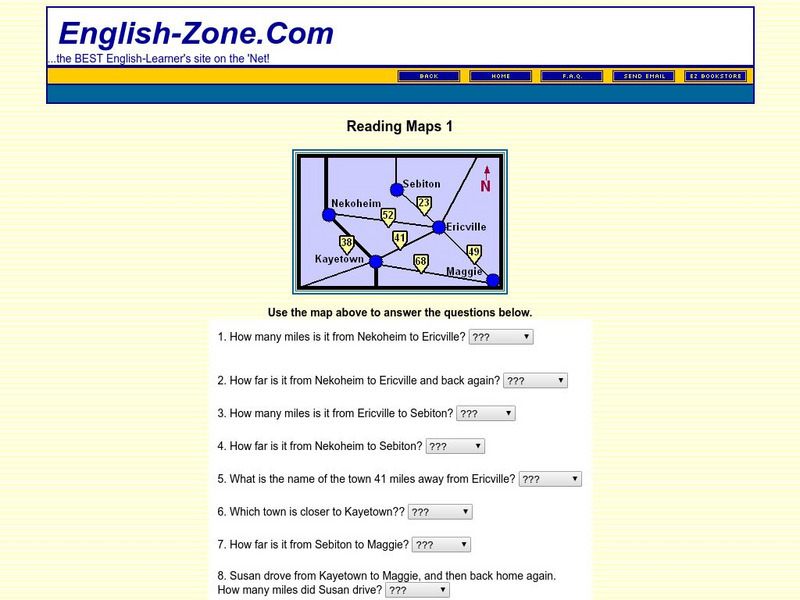
English Zone: Reading Maps 1
Using the map provided, students are to answer questions such as how far is it from one town to another.


