US Geological Survey
Usgs: Volcanic Hazards, Features, and Phenomena
Site from the U.S. Geological Survey provides a brief list of volcano terminology including descriptions as well as links to major menus.
US Geological Survey
Usgs: Natural Hazards Programs: Lessons Learned for Reducing Risk [Pdf]
This site provides links to articles about natural disasters such as volcanoes, earthquakes, landslides, floods, etc.
Scholastic
Scholastic: Study Jams! Science: Landforms, Rocks & Minerals: Earthquakes
A video and a short multiple-choice quiz on earthquakes, how they form, how they are measured, and the ways they can change the surface of the Earth.
Columbia University
Scientific Background on the Indian Ocean Earthquake and Tsunami
This site features information and related links that can be used by students and scientists to understand the events that led to the December 2004 Indian Ocean tsunami.
University of Southern California
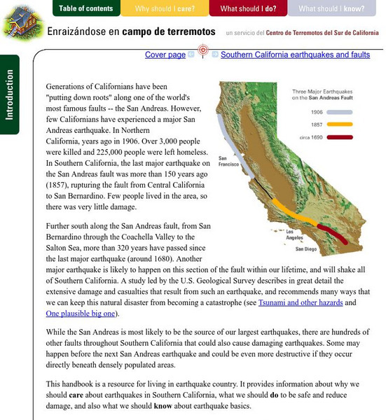
Earthquake Country Alliance: Putting Down Roots in Earthquake Country
This handbook is a resource for living in earthquake country. It provides information about why we should care about earthquakes in Southern California, what we should do to be safe and reduce damage, and also what we should know about...
National Science Foundation
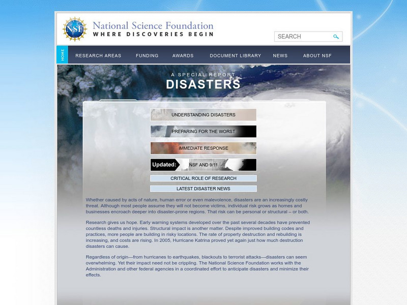
National Science Foundation: Disasters
The National Science Foundation provides us with a comprehensive report on disasters; understanding them, how to prepare for them, responding to them, and the latest news. Learn about the risks involved and how to minimize the effects.
Discovery Education
Discovery Education: Dynamic Earth, Tsunami
Use this site to teach your students what a tidal wave or tsunami is from this lesson plan. The discovery activity shows how a tsunami happens.
E-learning for Kids
E Learning for Kids: Science: Seychelles: Earthquakes and Effects
Students learn about what happens inside the Earth to cause an earthquake, how earthquakes are measured, their impact on the surface, and safety precautions to take during an earthquake.
National Association of Geoscience Teachers
Nagt: Discovering Plate Boundaries
Students work collaboratively using data maps to discover plate tectonic boundary processes. Data sets used are earthquakes, volcanoes, seafloor age, and topography.
National Association of Geoscience Teachers
Nagt.org: A Kinesthetic Demonstration for Locating Earthquake Epicenters
A kinesthetic activity for students to understand the technique for locating the epicenter of an earthquake. It is performed indoors and outdoors in three lessons.
Science Education Resource Center at Carleton College
Serc: Plotting Earthquakes With Near Real Time Data
This lesson teaches the concept of plate tectonics. Learners will access the United States Geological Survey National Earthquake Information Center and plot the longitude latitude and depth of earthquakes on a physiographic chart.
CK-12 Foundation
Ck 12: Earth Science: Predicting Earthquakes
[Free Registration/Login may be required to access all resource tools.] The signs scientists might see prior to an earthquake occurring.
CK-12 Foundation
Ck 12: Earth Science: Predicting Earthquakes
[Free Registration/Login may be required to access all resource tools.] The signs scientists might see prior to an earthquake occurring.
CK-12 Foundation
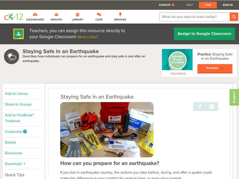
Ck 12: Earth Science: Staying Safe in an Earthquake
[Free Registration/Login may be required to access all resource tools.] How to prepare for an earthquake.
CK-12 Foundation
Ck 12: Earth Science: Staying Safe in an Earthquake
[Free Registration/Login may be required to access all resource tools.] How to prepare for an earthquake.
CK-12 Foundation
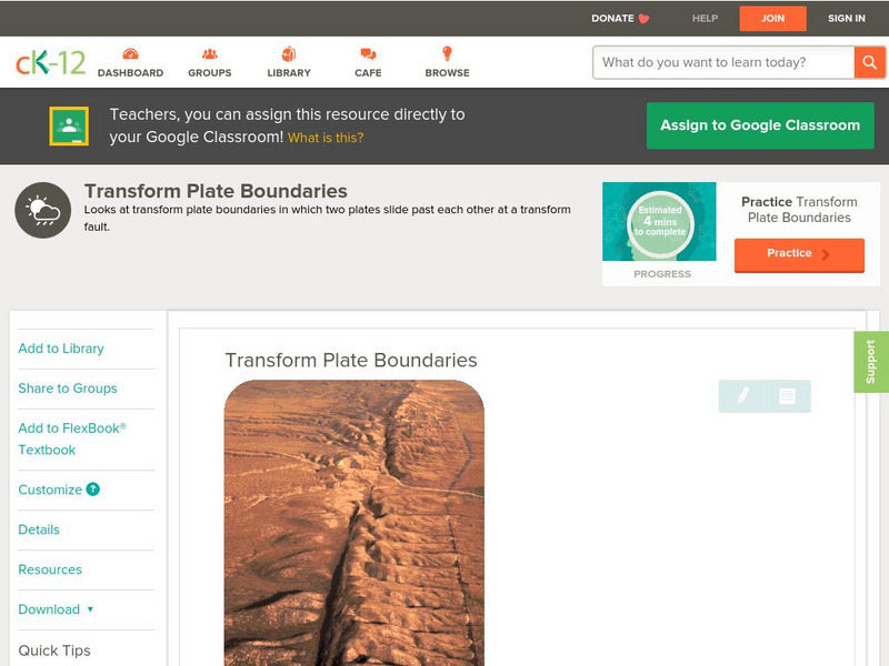
Ck 12: Earth Science: Transform Plate Boundaries
[Free Registration/Login may be required to access all resource tools.] Covers transform plate boundaries on land and in the ocean.
CK-12 Foundation
Ck 12: Earth Science: Transform Plate Boundaries
[Free Registration/Login may be required to access all resource tools.] Covers transform plate boundaries on land and in the ocean.
American Geosciences Institute
American Geosciences Institute: Earth Science Week: Geologic Maps & Earthquakes
This activity is designed to give learners practice using a geologic map to assess the likelihood and location of a particular natural hazard- earthquakes- in California.
American Geosciences Institute
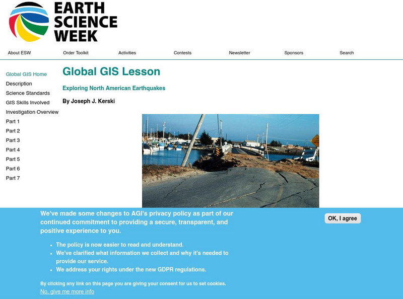
American Geosciences Institute: Earth Science Week: Global Gis Lesson: Exploring North American Earthquakes
In this series of lessons, learners use Geographic Information Systems (GIS) together with the tools and data from the North America Global GIS CD to investigate earthquakes, volcanoes, and population from a local to global scale....
CPALMS
Florida State University Cpalms: Florida Students: Mantle Convection and Earth's Features
A resource to help understand that the movement of the Earth's tectonic plates is caused by convection. The plates' movements cause geologic features on the Earth's surface.
Natural History Museum
Natural History Museum: Volcanoes and Earthquakes
As an online exhibit from the Natural History Museum, this site provides three videos on natural processes of Earth. The videos cover tsunamis, earthquakes, and volcanoes.
US Environmental Protection Agency
Epa: Natural Disasters: Earthquakes
Information on this page will help students understand environmental dangers related to earthquakes, what they can do to prepare and recover.
TeachEngineering
Teach Engineering: Faulty Movement
In this activity, students are introduced to faults. They will learn about different kinds of faults and understand their relationship to earthquakes. The students will build cardboard models of the three different types of faults as...
TeachEngineering
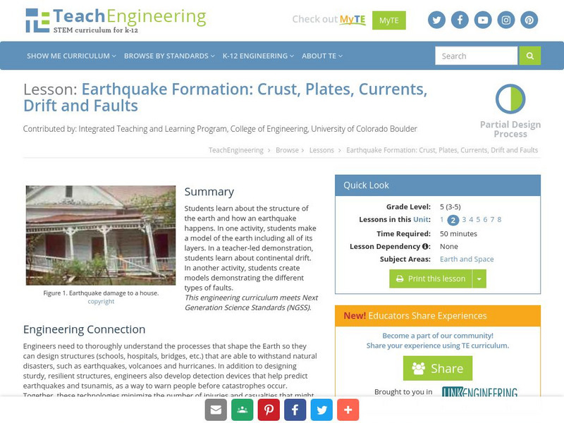
Teach Engineering: Earthquake Formation
Students learn about the structure of the earth and how an earthquake happens. In one activity, students make a model of the earth including all of its layers. In a teacher-led demonstration, students learn about continental drift. In...


