Other
Prince George's Community College: Reading the Rock Record [Pdf]
This is an in-depth activity where students create a rock layer formation using different colors of playdough and investigate the types of folds and rock formations that might occur. They take core samples through anticlines and...
Other
Leeds University: Teaching Resources in Structural Geology
A large collection of resources for teaching structural geology. Information is sorted into topic headings, including basic principles of organization, basic structures (folds, faults, shear zones), virtual field trips, strain, geology...
Other
Nasa: Iss Earth Kam
Students get a whole new perspective of the world through images obtained from the International Space Station. Students can even request images to be taken through ISS EarthKAM. Activities and educator guides are provided.
Georgia Department of Education
Ga Virtual Learning: Earthquakes and the Earth's Interior
In this interactive tutorial you will learn about earthquakes and seismic waves. Learn about why and how these form and also discuss the hazards - direct and indirect - posed by earthquakes. You will then learn how our knowledge of...
Other
Geological Survey Program: Facts About the New Madrid Seismic Zone
It's surprising to find out that the New Madrid Seismic Zone is the most seismically active area in the United States. The facts go into the New Madrid fault very scientifically and are very detailed. Find maps and charts showing...
Exploratorium
Exploratorium: Earthquake Faultline Earthquake Activities
This outstanding website provides an excellent variety of hands-on earthquake activities to help you understand what causes earthquakes.
US Geological Survey
Usgs: Understanding Plate Motions
The U.S. Geological Survey provides descriptions and illustrations for the plate boundaries of the Earth's surface.
American Geosciences Institute
American Geosciences Institute: Earth Science Week: A Model of Three Faults
In this lesson plan, students learn about the different kinds of faults and plate boundaries and where they can be found. They research and report on the faults that are present in their state. They are also asked to develop models of...
US Geological Survey
U.s. Geological Survey: Earthquake Center: Glossary
This resource provides definitions of important earthquake related terms.
Other
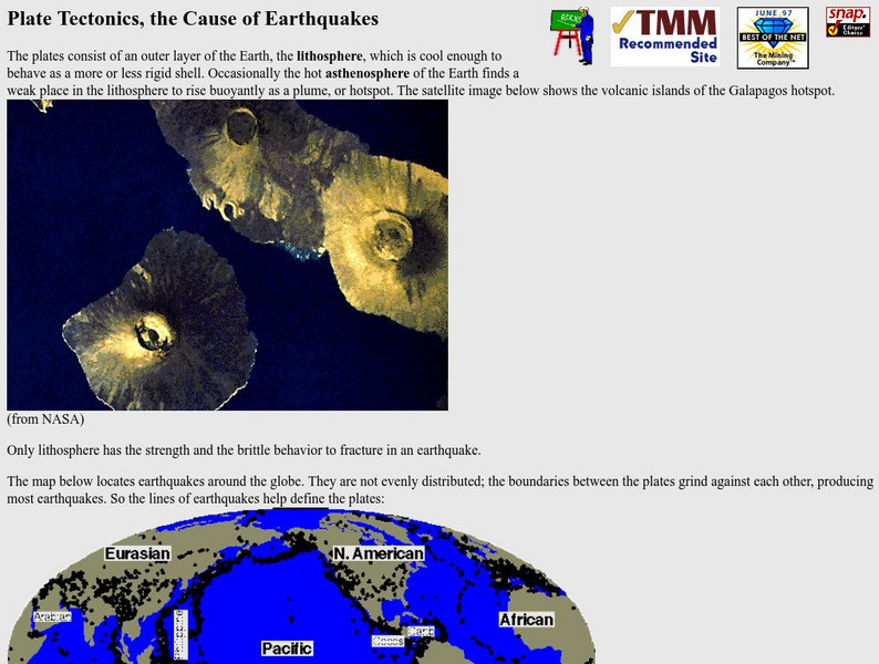
Nevada Seismological Laboratory: Plate Tectonics, the Cause of Earthquakes
This site contains an in-depth explanation of the causes of earthquakes as they relate to plate tectonics, and also has many nice and easy to read pictures, maps, and diagrams of plate tectonics and earthquakes.
Indiana University
Indiana University Bloomington: Foldable Fault Blocks [Pdf]
In this instructional activity, students will create three-dimensional (3-D) blocks out of paper to learn about the types of faulting that occur at the Earth's surface and its interior. Students will manipulate three fault blocks to...
US Geological Survey
Usgs: Geologic Provinces of the United States: Basin and Range Province
Resource provides a description of the topography of the Basin and Range province focusing on its fault history and water drainage system.
Exploratorium
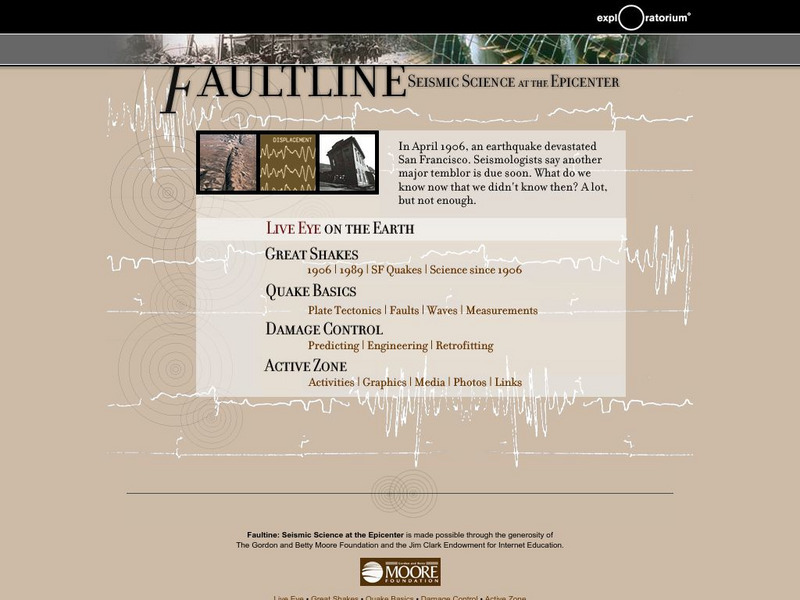
Exploratorium: Faultline
This site includes all things shaky--earthquakes that is. Observe real-time data regarding seismic activity all over the world. Other modules include information about history's great quakes, earthquake basics and how to recover from...
Extreme Science
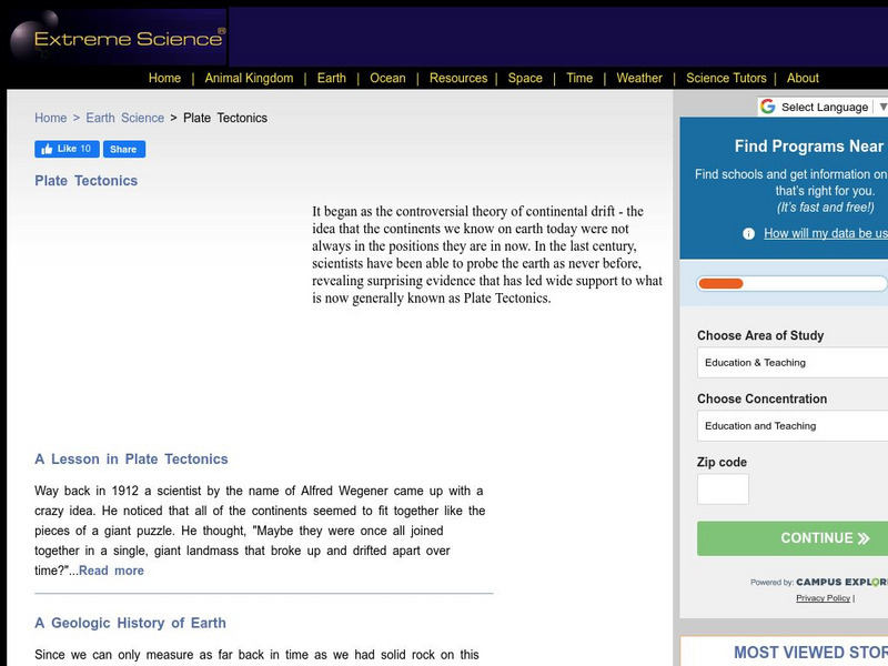
Extreme Science: A Lesson in Plate Tectonics
With its clickable map, this site provides text and graphics on spreading boundary, converging boundary, subduction zone, transverse boundaries and faults.
University of Oregon
University of Oregon: Faults and Fault Zones
Pictures of a variety of fault types. Fault types shown include: normal, reverse, and strike-slip. Also includes instructions for determining fault slip direction.
Science Education Resource Center at Carleton College
Serc: Geo Blocks 3 D Interactive 3 D Geologic Blocks
This interactive tutorial on visualizing geologic features contains animated block diagrams that show how the surface expressions of dipping layers, folds, igneous intrusions, and faults are related to subsurface structure and cross...
US Geological Survey
U.s. Geological Survey: Rock'n on Shakey Ground [Pdf]
The basics of earthquake science including factual information about how and why they happen. Also includes some hands-on activities and experiments for students.
US Geological Survey
Usgs: Geologic Maps
This site has a good description of what this particular type of map represents. It also explains the colors and letter symbols, faults, and strike and dips.
American Geosciences Institute
American Geosciences Institute: Earth Science Week: Model of a Normal Fault
Students construct a model that demonstrates how a block of rock is extended by a normal fault.
American Geosciences Institute
American Geosciences Institute: Earth Science Week: The Mountain Blows Its Top
Students will observe fault movements on a model of the earth's surface.
TeachEngineering
Teach Engineering: Faulty Movement
In this activity, students are introduced to faults. They will learn about different kinds of faults and understand their relationship to earthquakes. The students will build cardboard models of the three different types of faults as...
CK-12 Foundation
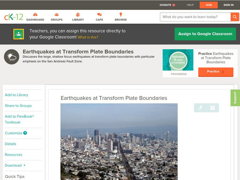
Ck 12: Earth Science: Earthquakes at Transform Plate Boundaries
[Free Registration/Login may be required to access all resource tools.] Covers earthquakes occurring at transform plate boundaries, fault zones, and transform faults.
CK-12 Foundation
Ck 12: Earth Science: Earthquakes at Transform Plate Boundaries
[Free Registration/Login may be required to access all resource tools.] Covers earthquakes occurring at transform plate boundaries, fault zones, and transform faults.
CK-12 Foundation
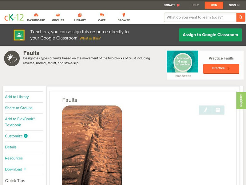
Ck 12: Earth Science: Faults
[Free Registration/Login may be required to access all resource tools.] Covers rock stress, fractures, and types of faults.


![Prince George's Community College: Reading the Rock Record [Pdf] Activity Prince George's Community College: Reading the Rock Record [Pdf] Activity](http://content.lessonplanet.com/resources/thumbnails/410006/large/bwluav9tywdpy2symdiwmduymc0xotawms0xn3i0zzvplmpwzw.jpg?1589984663)



![Indiana University Bloomington: Foldable Fault Blocks [Pdf] Lesson Plan Indiana University Bloomington: Foldable Fault Blocks [Pdf] Lesson Plan](https://d15y2dacu3jp90.cloudfront.net/images/attachment_defaults/resource/large/FPO-knovation.png)
