TeachEngineering
Teach Engineering: Where Are the Plastics Near Me? (Mapping the Data)
In a student-led and fairly independent fashion, data collected in the associated field trip activity are organized by student groups to create useful and informative Google Earth maps. Each team creates a map, uses that map to analyze...
Google
Google Earth Explore, Search and Discover
Find a specific location in the world. View exotic locations, famous buildings, and even your own home! See the terrain and buildings in 3D. Search for restaurants, hotels, parks and schools within a certain area.
Google
Google Earth Explore, Search and Discover
Find a specific location in the world. View exotic locations, famous buildings, your own home! See the terrain and buildings in 3D. Search for restaurants, hotels, parks and schools within a certain area.
TeachEngineering
Teach Engineering: Digital Mapping and Geographic Information Systems (Gis)
Geographic information systems (GIS), once used predominantly by experts in cartography and computer programming, have become pervasive in everyday business and consumer use. This unit explores GIS in general as a technology about which...
Other
Satellite Images Bridge Understanding Gap Between Climate Change and Individuals
This article discusses how Google Earth has brought the reality of climate change to the average person so that they can see it for themselves. The north and south poles are indicators of what is happening with climate change and an...
Alabama Learning Exchange
Alex: Run Around the World
Lesson where students utilize Google Maps and Google Earth to create a three mile running course from their houses, addressing any safety concerns that arise (large intersections, availability of sidewalks, etc.). Detailed instructions...
Science Education Resource Center at Carleton College
Serc: Exploring Air Quality in Aura No2 Data
This activity illustrates how data can be imported into Google Earth for visualization and interpretation. Students are introduced to air quality as it relates to population density and topography.
Curated OER
Google for Education: Children and Technology: Google Earth
A demo presentation using Google Earth to fly around the world, visiting notable visitor points around the globe.
Other
Jefferson County Schools: Google Earth and Social Studies
This document explains how to use Google Earth in the classroom and offers ideas to get you started.
Other
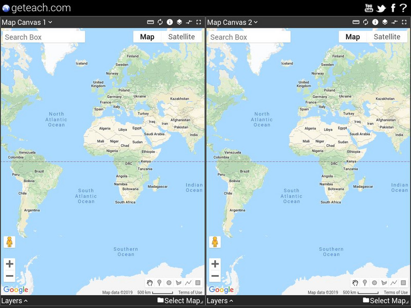
Google Earth Teach: Maps
A free opportunity to allow students and educators to learn and engage using Google Earth. A variety of maps may be selected and multiple layers chosen to display different aspects of each map.
Climate Literacy
Clean: State Electricity on Google Earth: How Many Solar Panels Would It Take?
This activity addresses the Energy Awareness Principle by having students calculate electricity use by state, and also determine how much land would be required to replace all sources of electricity with solar panels considering costs...
Science Education Resource Center at Carleton College
Serc: Lab 2: What's a Watershed?
Students build a physical model to simulate watershed features, then use Google Earth software to tie the model to a real place. By exploring several layers of map-based images and data, students learn the complexity of a watershed and...
Science Education Resource Center at Carleton College
Serc: Environmental Reconnaissance of a Salt Marsh
A field and computer laboratory exercise that introduces students to using Google Earth, GPS, aerial imagery, and an online illustrated vegetation and tidal marsh environment identification guide. Students are challenged to distinguish...
Google
Google Earth: Hubble Telescope
Get a tour of space with images collected from the Hubble telescope. See nebulae, galaxies, and star clusters on this site. Google Earth must be downloaded to use.
Google
Google Earth Blog
The author has extensive experience using GPS and has worked with NASA. In his blog he posts information about the latest uses and applications of Google Earth.
Alabama Learning Exchange
Alex: Jet, Set, Go! Travel Google Earth in Ben's Dream
This lesson uses the picture book by Chris Van Allsburg Ben's Dream with Google Earth to highlight ten major landmarks of the world. After reading and discussing Ben's Dream, students "travel" to each location using the free software...
Other
Lesnansky's Control Center: Word Processing Software: Wonders of the World
In this lesson, students watch a video about the Wonders of the World then research one of the Wonders and create a Microsoft Word document that details the story.
Curated OER
Google for Education: Children and Technology: Google Sketch Up
Using Google SketchUp build a house or upgrade your school building to be the tallest and the most colorful in the world! Then place your buildings on Google Earth and fly over them with Google Earth to see what they look like.
Curated OER
Space Shuttle Atlantis Sts 122 Launch Profile in Google Earth
The author has extensive experience using GPS and has worked with NASA. In his blog he posts information about the latest uses and applications of Google Earth.


