Curated OER
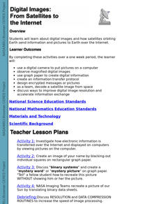
Digital Images: From Satellites To The Internet
Learners examine digital images and how satellites orbiting Earth send information and pictures to Earth over the Internet. They use a digital camera to put pictures on a computer and decode a satellite image from space.
Curated OER
Scenes of the Earth
Students examine and study how changes in perspective can change the way that they can observe objects. They explore the relationship between a scene's area and its detail. Each student looks at the ground through cardboard tubes from...
Curated OER
Satellite Images- Night Time
Fourth graders study the geography and population distribution of various places on earth. They utilize actual satellite images of the night sky (lights showing heavily around area of dense population) to study and make observations...
Curated OER
Interpreting Aerial Photographs
Students interpret aerial photographs. They view aerial photographs or satellite-produced images to locate and identify physical and human features. They study satellite images and label their images for bodies of water, clouds,...
Curated OER
Science Excursion: Cover Mapping Land
Students study remotely sensed images and topographic maps to classify land cover types in their watershed area. They take samples in the watershed area to interpret the images.
Curated OER
From Pirates to Pilots to Spies
Sixth graders enjoy this introduction to the world of map projections, globes, aerial photographs, and satellite images. This lesson instructs students on the advantages and disadvantages of each earthly representation.
Curated OER
Interpreting Satellite Images
Students identify differences between photography and satellite imagery space.
Curated OER
The Adventure of Echo the Bat
Pupils compare different habitats based on satellite imagery. They identify land features in the satellite imagery.
NASA
Nasa: The Adventures of Ameila the Pigeon
Amelia the Pigeon has been given assignments related to how the land changes. These assignments center around imaging, remote sensing, and the history of New York City. They are presented in an engaging manner and are supported by...
Science Buddies
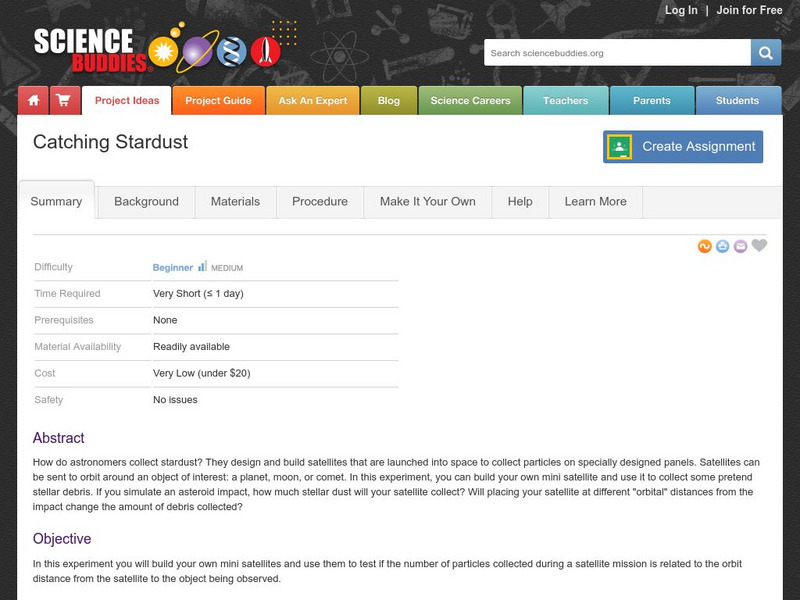
Science Buddies: Catching Stardust
How do astronomers collect stardust? They design and build satellites that are launched into space to collect particles on specially designed panels. Satellites can be sent to orbit around an object of interest: a planet, moon, or comet....
NASA
Nasa: Cobe: Cosmic Background Explorer
The Cosmic Background Explorer, or COBE, satellite began its space mission in November of 1989. Its task was to measure radiation levels from the early stages of the universe. This site explains the mission goals, COBE's specialized...
European Space Agency
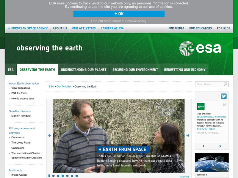
European Space Agency: Observing the Earth
This resource provides information about the Earth, as well as satellite images and videos of what is taking place on the earth currently.
Other
Climate Change Institute: Climate Reanalyzer
Using interfaces for reanalysis and historical station data, the Climate Reanalyzer provides an intuitive platform for visualizing a variety of weather and climate data sets and models.
US Geological Survey
Usgs: Earth Now! Landsat Image Viewer
On this real-time site, the U.S. Geological Survey shares LANDSAT satellite images. The LANDSAT Program is managed by NASA and the U.S. Geological Survey.
US Geological Survey
Usgs: Pocket Texas Geology
The interactive map from the USGS, along with the Texas Natural Resources Information System (TNRIS) and the Texas Bureau of Economic Geology, provides satellite images of Texas' rock units, members, faults, and map sheets. Explore Texas...
NASA
Nasa: Aerial Photography: The Adventures of Amelia the Pigeon
An animated adventure story, developed by NASA, that helps children understand earth science concepts by using satellite photography and other types of aerial photographs to identify physical features on the surface of the earth. Teaches...
Smithsonian Institution
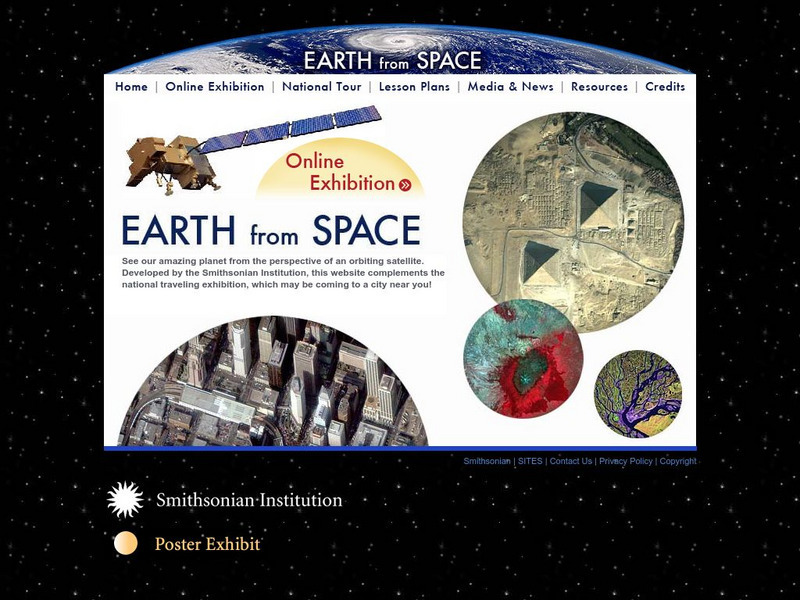
Smithsonian: Earth From Space
You may not have seen the monsoon rains in India or Mount Taranaki in New Zealand, but thanks to the Smithsonian's online exhibit, it's easy to observe the earths natural and man made features. Click on "Online Exhibition" to view and...
University of Michigan
University of Michigan: Usa Weather
This site gives current weather information by state.
Science Education Resource Center at Carleton College
Serc: Exploring and Animating Goes Images
Students learn how to transform a series of GOES images into an animation, and how to create a storm track from that animation. By synthesizing information from the track and other sources, students determine storm speed and direction.
Science Education Resource Center at Carleton College
Serc: Annotating Change in Satellite Images
This chapter walks you through a technique for documenting change detected in before-and-after sets of satellite images. The technique can be used for any set of images that show the same area at the same scale at different times.
Science Education Resource Center at Carleton College
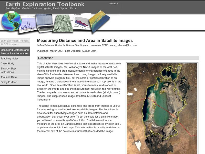
Serc: Measuring Distance and Area in Satellite Images
Students will select from a series of Satellite images of the Aral Sea from 1973 through 2003 and will measure changes in the area of the lake and distance across the lake over time.
Science Education Resource Center at Carleton College
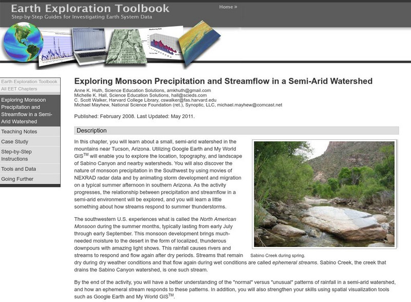
Serc: Exploring Monsoon Precipitation and Streamflow in a Semi Arid Watershed
Students use both My World GISTM and Google Earth maps to investigate streamflow and precipitation relationships in the vicinity of Tucson, AZ.
NASA
Nasa: Visible Earth: 3 D Data From Ice Sat
3-D Data from ICESat: Orbiting the Earth at nearly 17,000 miles per hour, NASA's Ice, Cloud and land Elevation Satellite (ICESat) is collecting spectacular new three-dimensional measurements of the Earth's surface and atmosphere.


