Center for Innovation in Engineering and Science Education, Stevens Institute of Technology
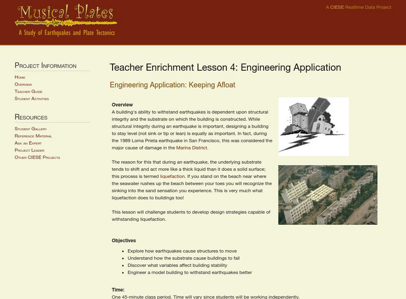
Ciese: Musical Plates: Engineering Application: Keeping Afloat
A lesson that looks at how to design a building so that it will withstand an earthquake and not sink or lean over.
Libre Text
Libre Text: Plate Tectonics and People
Over geologic time, plate movements in concert with other geologic processes, such as glacial and stream erosion, have created some of nature's most magnificent scenery. The Himalayas, the Swiss Alps, and the Andes are some spectacular...
NASA
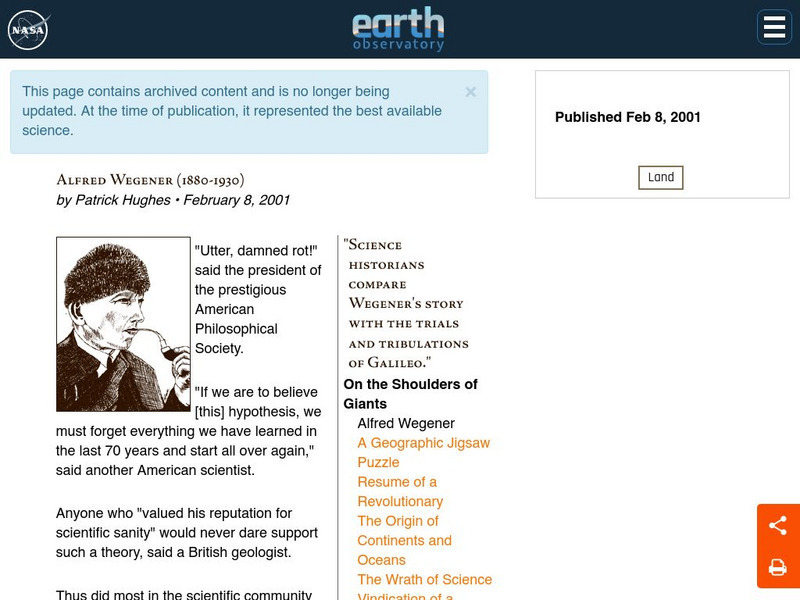
Nasa: Alfred Wegener
An excellent biography of Wegener that includes his breakthrough work and the storm of controversy it created. Finally, Alfred Wegener has gotten the praise and recognition he deserved.
American Geosciences Institute
American Geosciences Institute: Earth Science Week: A Model of Three Faults
In this lesson, students learn about the different kinds of faults and plate boundaries and where they can be found. They research and report on the faults that are present in their state. They are also asked to develop models of three...
Curated OER
National Park Service: North Cascades National Park Geology
Resource explores the history and geology of the Cascade Mountains. Content includes a geologic story, virtual field trip, a look at plate tectonics and the rocks & minerals found in the Cascade Mountains, geologic maps, and more.
Georgia Department of Education
Ga Virtual Learning: Mountain Building
In this interactive tutorial you will learn how pressure creates stress and strain on rocks. Learn how different types of strain are produced by different plate tectonic settings, and explore the different types of mountain ranges and...
National Geographic
National Geographic: Encyclopedia: Mantle
An in-depth look at the structure and composition of Earth's mantle, with lots of visuals. Covers lithosphere, Mohorovicic discontinuity, asthenosphere, transition zone, lower mantle, the d double-prime region, mantle convection, mantle...
Other
Unavco: Measuring Plate Motion With Gps: Iceland
Young scholars will learn about the architecture that is in place to enable GPS and how to interpret data for a station's position. They will develop a time series plot and use the data to see that the Mid-Atlantic Ridge is rifting...
Incorporated Research Institutions for Seismology
Iris: Gps Measuring Plate Motion [Pdf]
This resource looks at how geologists are able to measure the movement of tectonic plates using satellite-based data and how they were able to surmise in the past that the plates were moving. It also discusses how to read GPS time-series...
Other
Tech Museum: Building for the Big One [Pdf]
This resource presents a project where students design and build structures that can withstand an earthquake. The project can include an extension where students look at the factors of soil type and proximity to fault in their design....
TeachEngineering
Teach Engineering: Earthquakes Living Lab: The Theory of Plate Tectonics
Working in pairs, students think like engineers and connect what they understand about the theory of plate tectonics to the design of structures for earthquake-resistance.
Other
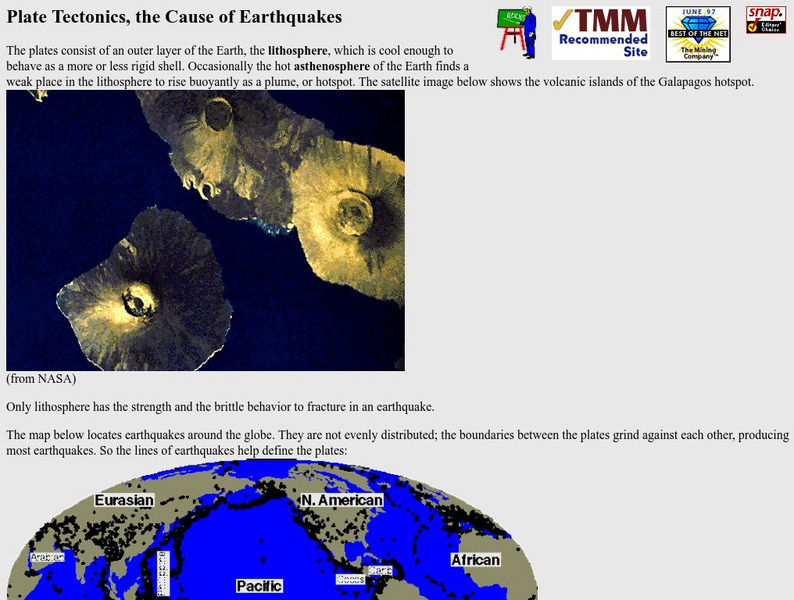
Nevada Seismological Laboratory: Plate Tectonics, the Cause of Earthquakes
This site contains an in-depth explanation of the causes of earthquakes as they relate to plate tectonics, and also has many nice and easy to read pictures, maps, and diagrams of plate tectonics and earthquakes.
Indiana University
Indiana University Bloomington: Earthquakes in Indiana [Pdf]
A detailed brochure with lots of information about the earthquakes that occur in Indiana. Discusses plate tectonics, how fault zones developed in the Mississippi River Valley, faults in Indiana, earthquakes that affected Indiana in the...
CK-12 Foundation
Ck 12: Flex Book Textbooks: Earth Science Concepts for Middle School
[Free Registration/Login may be required to access all resource tools.] A complete, web-based, multi-media textbook covering a wide variety of Earth science concepts for middle grades.
National Geographic
National Geographic: Plate Tectonics
A short tutorial on plate tectonics. Includes a video, background reading, three questions, fast facts, and a vocabulary list. Discusses the publication of the Tharp-Heezen map of the seafloor in 1977 which paved the way for a much...
NASA
Nasa: Slr and Gps (And Plate Tectonics and Earthquakes) [Pdf]
This slideshow explains how satellites are used to measure the movement of tectonic plates.
Northwestern University
Northwestern University: Measuring Plate Motions [Pdf]
This slideshow gives an advanced-level explanation of how to calculate the distance that tectonic plates move by using Physics formulas and concepts. Includes a discussion of marine magnetic anomalies and how these impact plate movement....
Concord Consortium
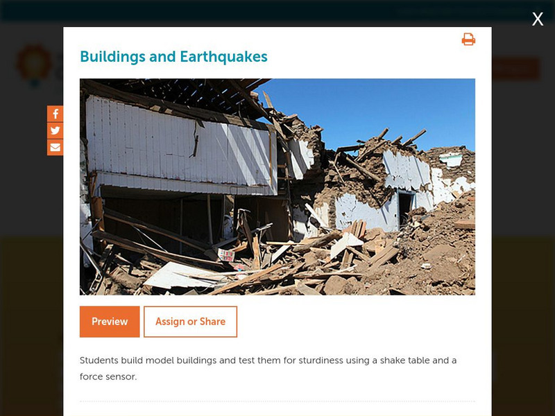
Concord Consortium: Stem Resources: Buildings and Earthquakes
Do you think you can build a house that can withstand the shaking from an earthquake? In this activity, students design and construct model building that will be tested on a shake table with a force sensor. Activity includes questions...
US Geological Survey
U.s. Geological Survey: Earthquakes for Kids
Comprehensive information on earthquakes. Includes photos from famous earthquakes, ask-an-expert feature, earthquake science, history of major earthquakes, a pictorial ABC, adults' guides for dealing with children's emotions, animations...
Other
Digital Library for Earth System Education: Teaching Box: Mountain Building
A suite of lessons focusing on all aspects of how mountains are formed. Inquiry-based exploration of mountain building includes the rock cycle, mountain formation, plate tectonics, earthquakes, volcanoes, erosion, rocks, minerals, and...
Nine Planets
The Nine Planets: Earth Facts
Find lots of information about our planet Earth here. Covers basic facts, Earth's history, layers of the Earth, plate tectonics, composition of the atmosphere, Earth's magnetic field, and some facts about our moon.
Curated OER
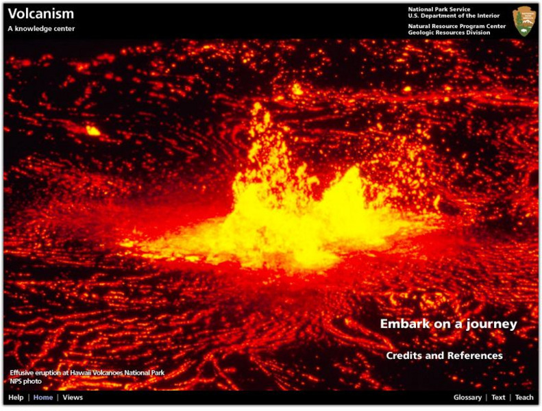
National Park Service: Explore Nature: Views: Volcanism: Embark on a Journey
A journey into the depths of a volcano teaches students about volcanic rocks, eruptions, features, and locations. Also find out how volcanologists monitor activity and conduct scientific research on eruptions.
PBS
Pbs Learning Media: Tectonic Plates and Plate Boundaries
This interactive activity adapted from NASA features world maps that identify different sections of the Earth's crust called tectonic plates. The locations of different types of plate boundaries are also identified, including convergent,...
PBS
Pbs Learning Media: Tectonic Plates, Earthquakes, and Volcanoes
This interactive activity produced for Teachers' Domain shows the relationship between tectonic boundaries and the locations of earthquake events and volcanoes around the world.





![Iris: Gps Measuring Plate Motion [Pdf] Handout Iris: Gps Measuring Plate Motion [Pdf] Handout](https://d15y2dacu3jp90.cloudfront.net/images/attachment_defaults/resource/large/FPO-knovation.png)
![Tech Museum: Building for the Big One [Pdf] Lesson Plan Tech Museum: Building for the Big One [Pdf] Lesson Plan](http://content.lessonplanet.com/resources/thumbnails/411264/large/bwluav9tywdpy2symdiwmduymc0xmdm2my0xd3vtenpxlmpwzw.jpg?1589993199)

