Illustrative Mathematics
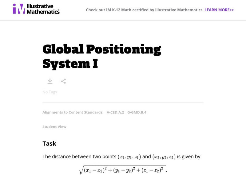
Illustrative Mathematics: A Ced.2 and G Gmd.4: Global Positioning System I
This question examines the algebraic equations for three different spheres. The intersections of each pair of spheres are then studied, both using the equations and thinking about the geometry of the spheres. Aligns with A-CED.A.2 and...
BBC
Bbc: Bitesize Geography: Os Map Skills
A short tutorial on mapping tools and how to read maps. Covers features of maps, symbols, the compass, scale, distance, how height is represented, and grid references. Includes multiple-choice quiz at the end.
Global Problem Solvers
Global Problem Solvers:the Series Season 2: Storm Force: Teacher's Guide
Global Problem Solvers is an animated STEM series from CISCO that features a group of middle school learners who work together to solve social problems. This teacher's resource provides a lesson plan and discussion guide for each Global...
Alabama Learning Exchange
Alex: Discover the World of Gps and Geocaching
This lesson will be a creative approach to learning latitude and longitude, and will introduce the students to new technology. Seventh grade students will be given the opportunity to utilize GPS Handheld Tracking Units to understand...
Alabama Learning Exchange
Alex: Gps Scavenger Hunt
This lesson will provide 7th and 8th grade middle schoolers the opportunity to utilize GPS Handheld Tracking Units in order to understand latitude and longitude. Students will work in groups of four to complete a scavenger hunt around...
Childnet
Childnet: Online Safety: Location Services
Your location refers to where you are and devices often track this in the background even when you don't have internet or reception. These location-based services are found on most smart devices including phones and use technology to...
Cosmo Learning
Cosmo Learning: Modern Surveying Techniques
A collection of video lectures from a course introducing students to modern surveying techniques. Webpage includes twelve lectures from a professor at the National Programme on Technology Enhanced Learning. Lectures vary in length and...
Wikimedia
Wikipedia: Personal Digital Assistant
This Wikipedia article gives an overview of PDAs (personal digital assistants). Although some of the content is under discussion for factual accuracy, readers can use this site for basic information on the topic.
American Geosciences Institute
American Geosciences Institute: Earth Science Week: Find Your Bearing: Mapping
In this exercise, students use compasses to make a map of the school's campus.
ClassFlow
Class Flow: Gps and Mapping
[Free Registration/Login Required] Learn about how GPS works and how it is used in the world. There are key questions and links to websites for further research.
ClassFlow
Class Flow: Decimals
[Free Registration/Login Required] This flipchart was created to introduce decimal place value, to fourth graders. The assessment component is only available to educators having access to study island.
Georgia State University
Georgia State University: Hyper Physics: Global Positioning Satellites
The physics associated with global positioning satellites is discussed. The mechanism by which they triangulate the location of an object is described.
Mocomi & Anibrain Digital Technologies
Mocomi: What Is Latitude and Longitude?
Provides interesting facts about latitudes and longitudes including how they are measured, why they are important, and the Halley meridian and Bradley meridian.
Curated OER
Hyper Physics: Global Positioning Satellites
The physics associated with global positioning satellites is discussed. The mechanism by which they triangulate the location of an object is described.
Curated OER
Hyper Physics: Global Positioning Satellites
The physics associated with global positioning satellites is discussed. The mechanism by which they triangulate the location of an object is described.
Curated OER
Hyper Physics: Global Positioning Satellites
The physics associated with global positioning satellites is discussed. The mechanism by which they triangulate the location of an object is described.
Curated OER
Hyper Physics: Global Positioning Satellites
The physics associated with global positioning satellites is discussed. The mechanism by which they triangulate the location of an object is described.
Curated OER
Hyper Physics: Global Positioning Satellites
The physics associated with global positioning satellites is discussed. The mechanism by which they triangulate the location of an object is described.
Curated OER
Hyper Physics: Global Positioning Satellites
The physics associated with global positioning satellites is discussed. The mechanism by which they triangulate the location of an object is described.


