Other
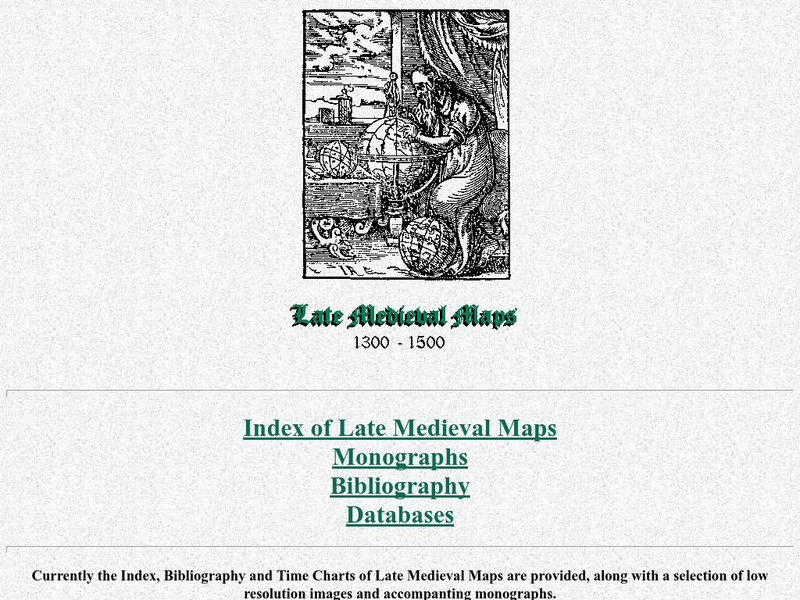
Cartographic Images: Late Medieval Maps 1300 1500
Find some incredible maps of early cartographers. What did they know of the world then? Did they know it was round? Take a look at this site.
Other
Stadtplan: Frankfurt Am Main
Stadtplan.net provides a zoomable map of Frankfurt, as well as maps of the state of Hessen (Hesse) and Deutschland. In addition to the local map of streets, there is other city info, including links to events such as rock and other...
University of Calgary
European Voyages of Exploration: Geography and Cartography
This site provides information on mapmaking and cartograohy of the early explorers. Includes pictures of maps.
Other
Valparaiso University: Carl Ritter
This site from the Valparaiso University provides information on Carl Ritter and Alexander von Humboldt, two famous geographers.
National Geographic
National Geographic: Geostories: Participatory Mapping in the Caribbean
Explore the Caribbean's Grenadine chain of islands through the work of a cartographer and mapping expert.
National Geographic
National Geographic: Reading a Resource Map
Students will study maps to recognize where natural resources are found through exercises provided.
Other
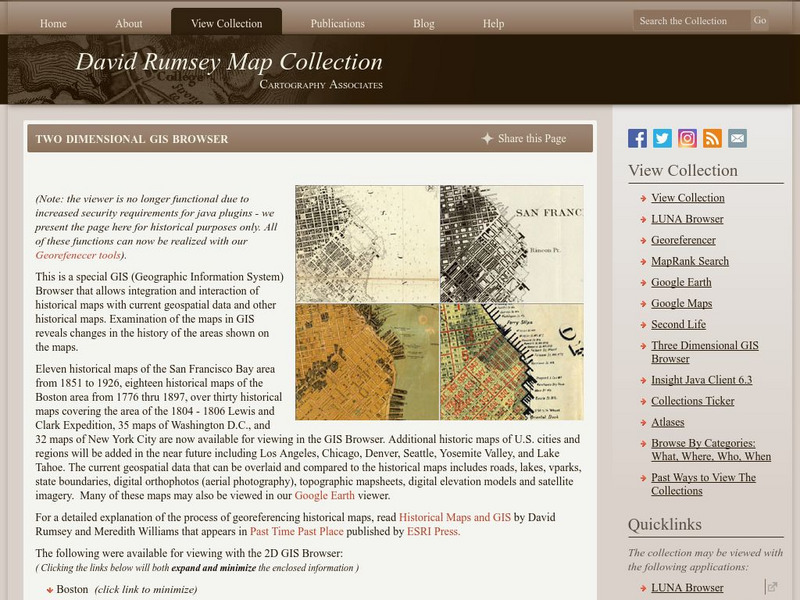
David Rumsey Historical Map Collection
The collection of more than 150,000 maps focuses on rare 18th and 19th-century maps of North and South America, although it also has maps of the World, Asia, Africa, Europe, and Oceania. The collection includes atlases, wall maps,...
Other
Ancient History: 10 Ancient Greek Inventions and Discoveries Still Used Today
Ten of the important inventions and innovations of the ancient Greeks are described. These include the water mill, the odometer, alarm clocks, cartography, the Olympics, geometry, Hippocratic medicine, philosophy, democracy, and...
Rice University
Rice University: Cynthia Lanius: Mathematics of Cartography
Can there be a connection between map making and math? Explore the mathematics of cartography in this resource that integrates web-based instruction, mathematical problem solving, geometry, history, and art. Interesting information and...
Canadian Museum of History
Cmc: The Life Story of Etienne (Stephen) Brule
Brule was an adventurer who accompanied Champlain on his trip to New France in 1608. As an explorer and interpreter he had an excellent understanding of native languages and cultures.
The Newberry Library
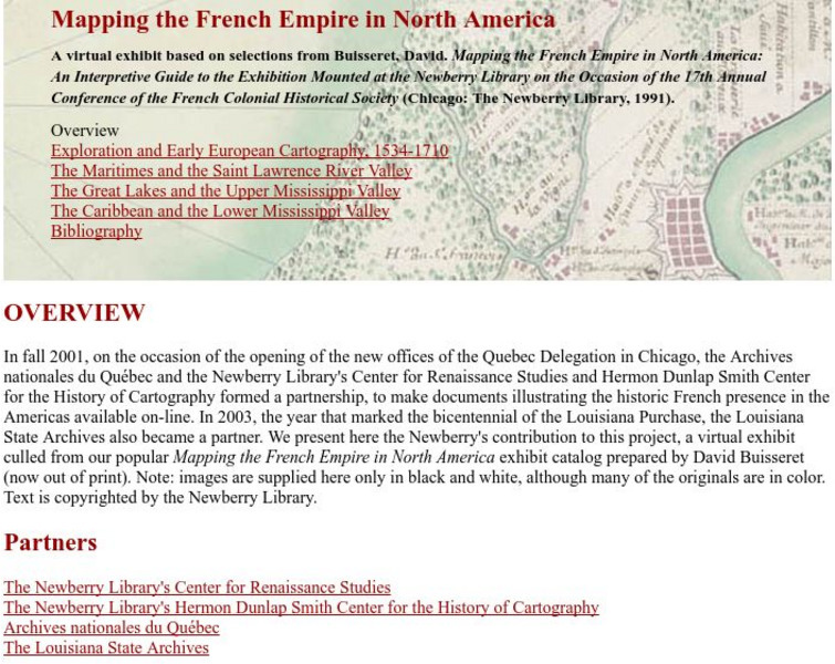
Newberry Library: Library Exhibit: Mapping the French Empire in North America
A virtual exhibit containing documents illustrating the historic French presence in the Americas.
Khan Academy
Khan Academy: What Maps Tell Us
Maps are subjective, and like any form of art and design they have stories to tell and reveal a lot about the times in which they were produced. Maps involve selections of information, human editing, and a visual language legible to the...
Rice University
Rice Univ.: Cynthia Lanius: Mathematics of Cartography: History of Mapmaking
Surveys the history of mapmaking from prehistoric to current times with an illustrated chronology.
Rice University
Rice University: Cynthia Lanius: Mathematics of Cartography: Scale
Definition of map scale with related cartography links and activity at Mapblast in which students create maps of their own and determine distance and scale.
Rice University
Rice University: Cynthia Lanius: Mathematics of Cartography: Coordinate System
A coordinate system such as latitude/longitude is an example of absolute location. Links to Greenwich/Prime Meridian.
Rice University
Rice University: Cynthia Lanius: Mathematics of Cartography: Projections
Understanding map projections is an important map-reading skill. Features graphics and links to examples of many different projections and an activity on making a Mercator projection.
Rice University
Rice Univ.: Cynthia Lanius: Mathematics of Cartography: Mathematics Problems
Web-based cartography exercises based on the online "How far is it" distance caclulator.
Wikimedia
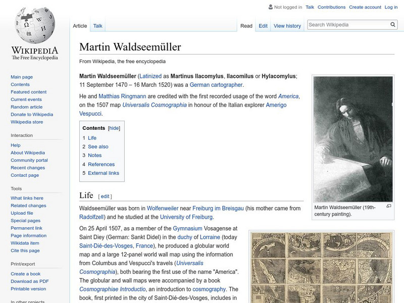
Wikipedia: Martin Waldseemuller
Wikipedia offers a brief biography of Martin Waldseemuller, the German cartographer who first used the name America on a map in 1507.
City University of New York
Map Projection Basics: Bits of Map Projection History
Surveys the ideas of Claudius Ptolemy (90-170 AD) in regard to the shape of the world and his influence on the history of mapmaking.
American Geosciences Institute
American Geosciences Institute: Earth Science Week: Find Your Bearing: Mapping
In this exercise, young scholars use compasses to make a map of the school's campus.
ibiblio
Ibiblio: 1492: An Ongoing Vogage: Inventing America
Archived exhibition reveals how European writers and mapmakers thought about America during the Age of Discovery. Describes the allegorical images Europeans sometimes used to portray America and features the Gutierrez map, drawn in 1562,...
City University of New York
Choosing a Map Projection: In Search of a Good Map Projection
College-level geography tipsheet for developing an appropriate map projection.
Curated OER
Latitude: The Art and Science of 15th Century Navigation
This is a great site to read about how navigation began in Europe and what tools were used. Make sure to read the segments on coastal navigation, maps, and ocean currents.
Curated OER
How Accurately Did They Know the World in 1516?
This is a great site to read about how navigation began in Europe and what tools were used. Make sure to read the segments on coastal navigation, maps, and ocean currents.


