Curated by
ACT
This David Rumsey Historical Map Collection graphic also includes:
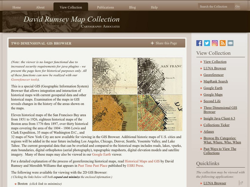
The collection of more than 150,000 maps focuses on rare 18th and 19th-century maps of North and South America, although it also has maps of the World, Asia, Africa, Europe, and Oceania. The collection includes atlases, wall maps, globes, school geographies, pocket maps, books of exploration, maritime charts, and a variety of cartographic materials including pocket, wall, children's, and manuscript maps. Items range in date from about 1700 to 1950s. Digitization of the collection began in 1996 and there are now over 47,000 items online.
3 Views
1 Download

