Houghton Mifflin Harcourt
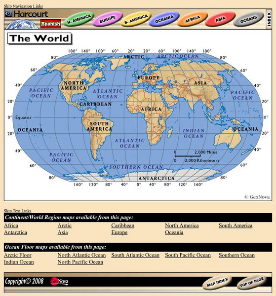
Harcourt: School Publishers: World Atlas: The World
Provides continent, country, and ocean floor maps from all over the world. Click on a continent's name to access the detailed maps which also include statistical facts on each available country.
Houghton Mifflin Harcourt
Holt, Rinehart and Winston: World Atlas: Philippines
This map of the Philippines from MapQuest is a clear map labeling the cities, islands, and physical features. There is also a chart of some quick facts about the country.
City University of New York
Virtual Geology: Maps Home Page: Topic and Quiz Menus
This collection of resources cover map topics and includes quizzes for improving map and globe usage skills.
Library of Congress
Loc: America the Beautiful
A resource page of online map resources, lesson plans, students activities and the transcript of a live chat on the geography of the United States.
BBC
Bbc: Development and Health
This interactive website is a lesson for students in determining the factors that divide developed and developing countries. Major health issues of each are also included. Archived.
Other
Esri: Mapping the Emerald Isle: A Geo Genealogy of Irish Surnames
Ever wonder if you had ancestors from Ireland? This interactive map lets you search for your surname and see what counties a clan with your name would have lived in based on the 1890 census.
National Endowment for the Humanities
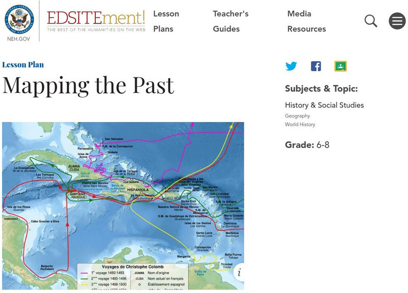
Neh: Edsit Ement: Mapping the Past
This lesson plan requires the students to examine past maps from various cultures in order to learn how the people from that time period interacted and understood their world.
University of Guelph
Canada's Polar Environments
This site is a set of images along with volumes of information make this site a treasure trove. The site has satellite images.
University of Texas at Austin
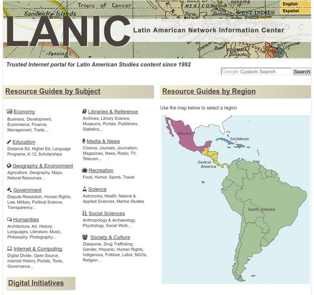
Lanic: Latin American Network Information Center
Vast network of information from and about Latin America is provided. Major topic headings include countries, economy, education, government, humanities, science, social sciences, society and culture, recreation, media and communication,...
US Department of Labor
Bureau of Labor Statistics: Surveyor
This site will explain what Surveyors, Cartographers, Photogrammetrists, and Surveying Technicians do for a living. It explains everything you would want to know.
Science Buddies
Science Buddies: Making Species Maps
Conservation biologists know which places are important to protect. How nature guides know which animals can be found in which places, are made possible partly by conservation biology. This experiment allows you to discover how maps can...
Pamela Seed
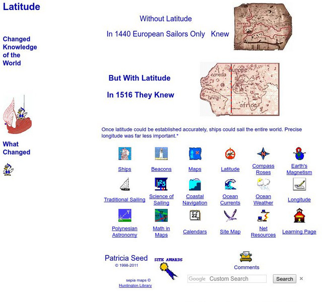
Rice: Latitude: The Art and Science of 15th Century Navigation
This is a great site to read about how navigation began in Europe and what tools were used. Make sure to read the segments on coastal navigation, maps, and ocean currents.
Geographypods
Geographypods: Map Skills
A collection of highly engaging learning modules on various topics within mapping skills. Covers map symbols, how to use four- and six-figure grid references, cardinal directions, distance, contour mapping, and drawing cross-sections....
PBS
Pbs: The Story of India: Map of India
PBS explores India through a detailed map of India and its surrounding countries. Provides details on the location of the country. Identifies important waterways, regions within country, major cities, and mountain ranges.
PBS
Pbs: M, M, M (Maps, Maps, Maps)
This is an online activity on Topographic maps with stated objectives, an activity, background information, evaluation, and resources. This site has information on where you can adjust the activity for elementary or secondary age levels.
Other
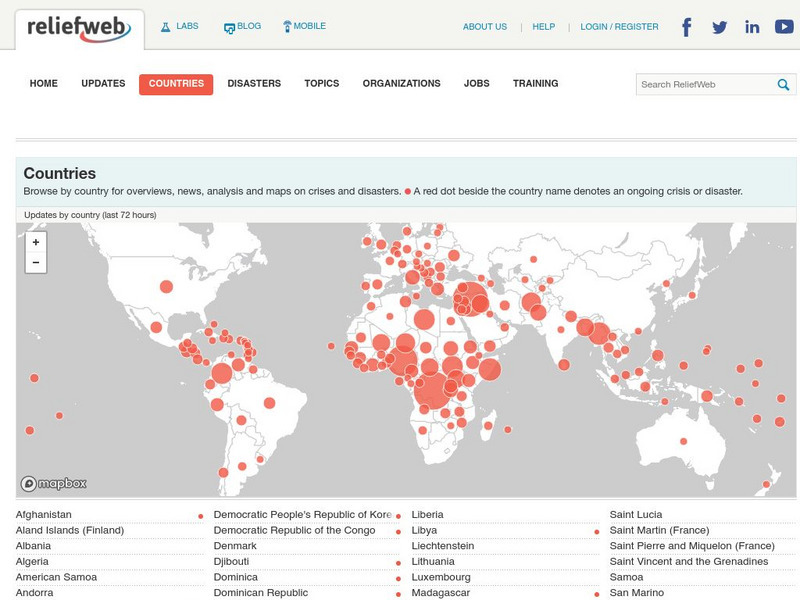
Relief Web: Countries
This resource provides information on countries throughout the world, current news, and different types of maps.
Other
Sacmeq: Stat Planet Map Maker: Interactive Mapping and Visualization Software
Free application for creating thematic maps and graphs using demographic, educational, environmental, health and socioeconomic indicators from various sources such as the World Health Organization. Includes demos, a video, and other...
Mariners' Museum and Park
Age of Exploration: Changing View of the World: The Development of Map Making
Read a summary of the history of map-making and the maps that were produced as a result of European exploration in the Americas. See examples of these maps and find out more about each one in this exhibit from the Mariners' Museum.
Other
University of Alabama: Alabama Maps
This page contains 3575 maps of Alabama. Includes historical and contemporary maps.
Other
The Castles of Wales
This resource includes an index and maps of castles in Wales, plus essays, glossary of castle words, FAQ's, plus other information related to castles.
Other
Modern City and Country Maps of Germany
A German Government user-friendly site that gives links to sites with excellent, up-to-date maps of Germany.
University of Pennsylvania
African Studies Center: Africa Country Maps
A collection of maps of the countries in Africa, arranged in alphabetical order.
Other
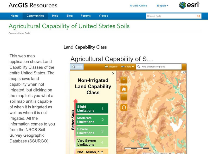
Esri: Arc Gis: Agricultural Capability of United States Soils
A sophisticated map tool that shows the capability of soils for agriculture, with or without irrigation, for the whole of the United States. Enter a location and a color coded map is shown, along with a key for interpreting it. The...
University of California
Us Geological Survey: Cartogram Central
The USGS offers detailed information on Types of Cartograms, Congressional Districts, Software for Cartograms, Publications, and a Carto-Gallery.


