Curated by
ACT
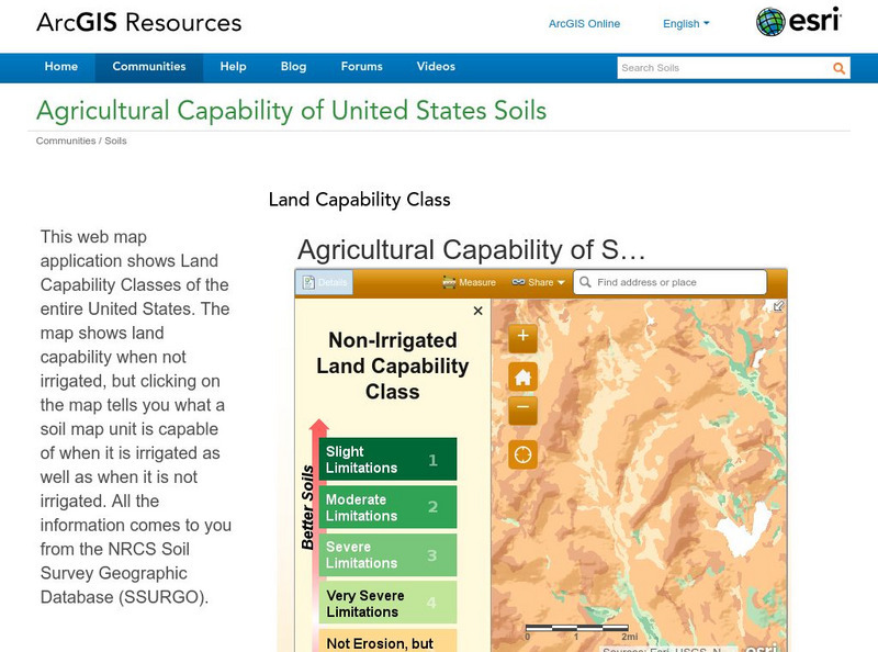
A sophisticated map tool that shows the capability of soils for agriculture, with or without irrigation, for the whole of the United States. Enter a location and a color coded map is shown, along with a key for interpreting it. The information is taken from the NRCS Soil Survey Geographic Database. The classes of soil capability are explained in detail.
3 Views
0 Downloads
Additional Tags
Classroom Considerations
- Knovation Readability Score: 5 (1 low difficulty, 5 high difficulty)

