Oregon State
World Map of Plate Boundaries
Young geologists piece together the puzzle of plate tectonics in an earth science lesson. Given a physical map of the world, they search for land formations that indicate the location of different types of plate boundaries.
Curated OER
Volcanoes: Kindergarten Lesson Plans and Activities
In the pre-lab, kindergarteners mimic the movements of the eruption of a volcano and discover various volcanoes around the United States. Then, pupils sort different types of volcanic rocks in the lab before learning how volcanoes grow...
NOAA
Plate Tectonics Interactive
Here is a plate tectonics interactive that will really move your class! The first of a 13-part series introduces young geologists to the fundamental concepts and vocabulary they need to understand the interactions between crustal plates....
Worksheet Web
Learning about Volcanoes
There's something about the classic volcano demonstration that can grab any learners' attention. Scholars begin with a reading and grand conversation about volcanoes, construct an erupting volcano using vinegar and baking soda, then show...
Lrymple Secondary College
Plate Boundary
Scholars examine diagrams and complete a concept map to discover key details about convergent, divergent, and transform plate boundaries.
Science Matters
Earthquakes and Volcanoes Post Assessment
The final lesson in the 20-part series is a post assessment covering earthquakes and volcanoes. Twenty-three questions incorporate each of the previous lessons through multiple choice, justified multiple choice, expanded multiple choice,...
Columbus City Schools
Geological Effects of Plate Tectonics
Don't get your classes all shook up about plate movement, instead use a thorough unit that guides learners to an understanding of plate tectonics. The lessons incorporate a study of the types of plate boundaries and their effects on the...
Curated OER
Plate Tectonics: Kindergarten Lesson Plans and Activities
This unit focuses primarily on plate tectonics and plate boundaries surrounding continents. It contains pre- and post-lab sections that walk young geologists through plate movements in order to visualize what's going on inside Earth.
Science Matters
Slip Sliding Along
The San Andreas Fault is the largest earthquake-producing fault in California. In the seventh lesson in the 20 part series, pupils create maps of California, focusing on the San Andreas Fault system. The comparison of where California is...
Science Matters
Ring of Fire
Over a period of 35 years, earthquakes and volcanoes combined only accounted for 1.5 percent of the deaths from natural disasters in the United States. The 15th lesson in a 20-part series connects the locations of earthquakes and...
National Geographic
Mapping the Americas
Celebrate the geography of the Americas and develop map skills through a series of activities focused on the Western Hemisphere. Learners study everything from earthquakes and volcanoes of the Americas and the relationship between...
NOAA
Seamounts
How do chains of islands form? Young oceanographers explore the mountains of the deep in the final installment in a 13-part series. The interactive compares types of seamounts based on their overall height and height under the water, as...
Science Matters
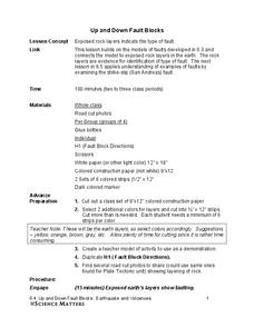
Up and Down Fault Blocks
The Sierra Mountains in Nevada and the Tetons in Wyoming originally formed as fault block mountains. In order to visualize these fault blocks, pupils use construction paper to create layers of earth. They cut the paper models and form...
Curated OER
Earthquakes: Kindergarten Lesson Plans and Activities
Beginning with a pre-lab, kindergarteners trace the letters in the word earthquake and discuss what happens in an earthquake. The lab portion allows young scientists realize that earthquakes trigger shaking of different intensities...
NOAA
Subduction Zones
Sink into an interactive learning experience about subduction zones! Junior oceanographers examine the earth-shaking and earth-making effects of subduction in the fourth installment in a 13-part series. Hands-on activities include...
CK-12 Foundation
CK-12 Earth Science Concepts for Middle School
Explore a variety of science concepts in an interactive textbook created for middle school scholars. A lengthy table of contents takes readers to pages comprised of a subject overview, outline, and summary. Follow links further to find...
College Board
2014 AP® Environmental Science Free-Response Questions
Less than half of AP Environmental Science test takers pass each year. The College Board releases previous test questions covering topics from greenhouse gases to ecological succession to help scholars prepare for future assessments. Use...
NOAA
Ocean Geologic Features
Sediment samples from the ocean bottoms tell scientists about climate change, pollution, and changes in erosion for the area. Groups of learners focus on sediments and their movement through water. During a hands-on activity, they...
Curated OER
Hazards: Second Grade Lesson Plans and Activities
Equip learners with safety knowledge in the case of an earthquake. After coloring the places to go to get help after a quake, and label places that wouldn't be safe to go after a quake, young geologists simulate three levels of...
E-learning for Kids
E Learning for Kids: Madagascar: What Are Tectonic Plates and How Are They Moving?
This lesson teaches students about tectonic plates, plate boundaries, and their role in earthquakes and volcanoes.
Vision Learning
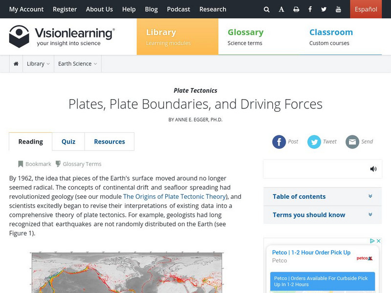
Visionlearning: Earth Science: Plate Tectonics Ii: Plate Boundaries and Forces
Instructional module focusing on plate tectonics. Discussion includes plates, plate boundaries, and driving forces. Site also includes an interactive practice quiz and links relating to the topic.
Concord Consortium
Concord Consortium: Exploring Earth's Seismicity
This sequence is an introduction to plate tectonics using evidence from topographical maps, earthquake location and depth, and volcano location using the Seismic Explorer model to investigate patterns of earthquake data and to infer the...
University of Colorado
University of Colorado: Ph Et Interactive Simulations: Plate Tectonics
Explore how plates move on the surface of the earth. Change temperature, composition, and thickness of plates. Discover how to create new mountains, volcanoes, or oceans! Java is required.
CommonLit
Common Lit: Plate Tectonics: Moving and Shaking
A learning module that begins with "Plate Tectonics: Moving and Shaking," accompanied by guided reading questions, assessment questions, and discussion questions. The text can be printed as a PDF or assigned online through free teacher...


