Curated OER
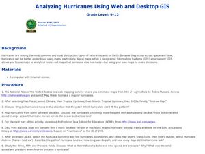
Analyzing Hurricanes Using Web and Desktop GIS
Students analyze hurricanes. In hurricanes lesson, students use the Internet and GIS to analyze hurricanes. Students view the National Atlas of Maps to discuss the direction hurricanes move. Students study the wind and pressure fields to...
Other
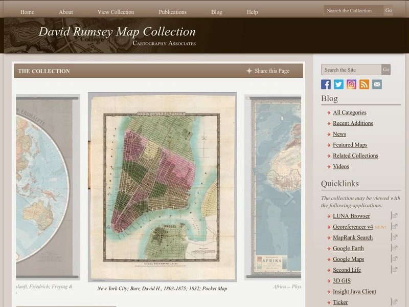
The David Rumsey Historical Map Collection
"The David Rumsey Historical Map Collection focuses on rare 18th and 19th century North and South America cartographic history materials. Historic maps of the World, Europe, Asia, and Africa are also represented. The collection...


