Curated and Reviewed by
Lesson Planet
This Analyzing Hurricanes Using Web and Desktop GIS lesson plan also includes:
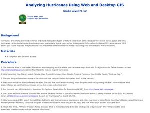
Students analyze hurricanes. In hurricanes lesson, students use the Internet and GIS to analyze hurricanes. Students view the National Atlas of Maps to discuss the direction hurricanes move. Students study the wind and pressure fields to connect the relationship of wind speed and pressure in hurricanes.
10 Views
10 Downloads
Additional Tags
Resource Details


