Curated OER
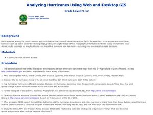
Analyzing Hurricanes Using Web and Desktop GIS
Students analyze hurricanes. In hurricanes lesson, students use the Internet and GIS to analyze hurricanes. Students view the National Atlas of Maps to discuss the direction hurricanes move. Students study the wind and pressure fields to...
Curated OER
Sleet and Hail Have Their Own Seasons
Second graders explain the definition of hail and sleet. In this precipitation lesson plan, 2nd graders discuss when hail and sleet fall and the results of hail falling.
Curated OER
Naturally Disastrous
Students examine the types and effects of natural disasters. In this natural disaster lesson, students study the different types of natural disasters including; avalanches, earthquakes, floods, hurricanes, and tornadoes. They investigate...
Curated OER
Hazard Alert
Students examine data regarding the occurrence of natural hazards as they occur in the United States. They record data on a classroom chart, map the areas affected by the hazards, and analyze and discuss conclusions drawn from the...
Geographypods
Geographypods: Hazards and Risk Management: Hazards and Disasters
This learning module looks at hazards and disasters. It explains the difference between them, looks at examples, and discusses future trends. Includes handouts, slideshows, activities, and videos.
Geographypods
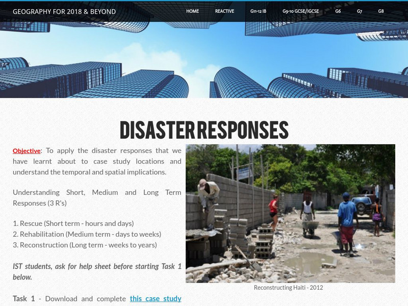
Geographypods: Hazards and Risk Management: Adjustments and Responses
In this learning module, students learn about disaster responses, the three types (short, medium, and long-term) and the different levels of response (local, national, and international). They examine the responses in various case...
PBS
Pbs Nova: Wave of the Future
This media-rich essay from NOVA Online describes the challenges involved in installing a warning system for tsunamis in the Indian Ocean.
The Field Museum
Field Museum: Exhibits: Nature Unleashed: Inside Natural Disasters
Discover the true powers of Mother Nature through this vivid collection of research, which delves into the causes of natural disasters and the impacts on those affected.
BBC
Bbc: Animated Guide: Volcanoes
An animated guide to volcanoes. Learn how they are formed, where they are found and the different types with this interactive slideshow.
American Geosciences Institute
American Geosciences Institute: Dynamic Planet
Seven hands-on lessons module where students learn about our dynamic planet. These inquiry-based explorations investigate scientific models, earthquakes and seismic waves, Earth's interior, Earth movements, the lithosphere, plate...
Other
Center for International Disaster Information
An excellent source for information on disasters all over the world. Site is updated daily with reports from affected countries.
Annenberg Foundation
Annenberg Learner: Teaching Geography: Latin America
A course workshop looks into the trends of migration in Latin America and then identifies how geographic surroundings impact human movement. Part I of the video addresses annual Mayan migration to Guatemala. Part II introduces a volcano...
University of Arizona
Pulse: Health Friendly Energy Production
A cross curricular project where students conduct a moot court to explore the role government policy plays in protecting our health. The focus of the unit is how our power effects our environmental health. Students use their knowledge of...
Libre Text
Libre Text: Plate Tectonics and People
Over geologic time, plate movements in concert with other geologic processes, such as glacial and stream erosion, have created some of nature's most magnificent scenery. The Himalayas, the Swiss Alps, and the Andes are some spectacular...
NASA
Nasa Earth Observatory: Natural Hazards: Volcanoes and Earthquakes
NASA's Earth Observatory offers photos showing locations of volcanic activity and earthquakes. Click on thumbnails to view large images and read about the causes and effects of these natural hazards.
NOAA
Noaa: Owlie Skywarns Weather Book [Pdf]
Download and print this free activity book about hurricanes, tornadoes, lightening, floods and winter storms. A quiz section is also included.
Other
Digital Library for Earth System Education (Dlese)
This resource provides materials for teachers on a huge array of topics. Search site by topic, grade level, and desired output (such as lesson plan, case study, assessment or tutorial). Site is focused on earth science, geography, and...
PBS
Pbs Learning Media: Rate Tornado Damage
In this interactive activity from NOVA Online, use the Fujita tornado intensity scale to assess the level of destruction left in the wake of actual tornadoes.
PBS
Pbs Learning Media: How Do Avalanches Form?
In this video segment adapted from NOVA, dramatic footage of avalanches and animations of ice crystals illustrate how a layer of weakly-bonded snow can contribute to a devastating avalanche. [4:03]
University Corporation for Atmospheric Research
Ucar: Tracking Hurricane News
Students read news articles about Hurricane Irene, present information with classmates, and construct a timeline to describe the hurricane's story over time and across geographic area, exploring what happened, how people were affected,...
PBS
Pbs Learning Media: Kids in Motion: Weather Fitness Lesson Plan
In this instructional activity, learners "rediscover" weather as they use movement to act it out. Using their whole body to bend, stretch and exercise, students follow along as the teacher calls out and moves different types of weather.
BBC
Bbc: Thousands Killed in Peru Landslide
This BBC article reports on the natural disaster that occurred in Peru in 1962 when a massive avalanche destroyed towns and villages with tons of snow, rocks, and mud.
Library of Congress
Loc: Natural Disasters: Nature's Fury
People have always tried to understand the natural world in which they live. In early times, they created myths to explain their experiences with fire, flood and other violent forces. Over the centuries, new scientific discoveries added...
PBS
Pbs Learning Media: Tectonic Plate Movement in Alaska
In this video adapted from KUAC-TV and the Geophysical Institute at the University of Alaska, Fairbanks, learn how tectonic plate movement is responsible for building mountains, such as the Wrangell and St. Elias Mountains. 2m 16s


