TryEngineering
Try Engineering: Find It With Gps!
Using a GPS handheld device and online resources, young scholars work in teams to explore the technology behind GPS, current GPS applications, and brainstorm new applications for future global use to solve society's issues.
Other
Unavco: Measuring Plate Motion With Gps: Iceland
Students will learn about the architecture that is in place to enable GPS and how to interpret data for a station's position. They will develop a time series plot and use the data to see that the Mid-Atlantic Ridge is rifting Iceland....
Incorporated Research Institutions for Seismology
Iris: Gps Measuring Plate Motion [Pdf]
This resource looks at how geologists are able to measure the movement of tectonic plates using satellite-based data and how they were able to surmise in the past that the plates were moving. It also discusses how to read GPS time-series...
NASA
Nasa: Slr and Gps (And Plate Tectonics and Earthquakes) [Pdf]
This slideshow explains how satellites are used to measure the movement of tectonic plates.
Massachusetts Institute of Technology
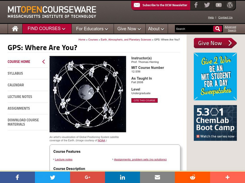
Mit: Open Course Ware: Gps: Where Are You?
A basic course from MIT on how a Global Positioning System(GPS)works, and the many new applications for using it. Includes lecture notes and assignments.
Science Education Resource Center at Carleton College
Serc: Litter Retriever With a Gps Receiver
Have you ever wondered why litter is in some locations and not others? You will use a Global Positioning System (GPS) to mark the locations of trash and trash cans around a local park or school campus, import the data into Google Earth,...
TED Talks
Ted: Ted Ed: How Does Your Smartphone Know Your Location?
GPS location apps on a smartphone can be very handy when mapping a travel route or finding nearby events. But how does your smartphone know where you are? Wilton L. Virgo explains how the answer lies 12,000 miles over your head, in an...
Other
Ggmap: Spatial Visualization With Ggplot2 [Pdf]
In spatial statistics the ability to visualize data and models super imposed with their basic social landmarks and geographic context is invaluable. ggmap is a new tool which enables such visualization by combining the spatial...
Mocomi & Anibrain Digital Technologies
Mocomi: Global Positioning System
Developed by the U.S. military, The Global Positioning System (GPS) is a space-based satellite navigation system that provides location and time information in all weather, anywhere on or near the Earth.
Other
Uscg Navigation Center: Gps General Information
The United States Coast Guard highlights a focused summary of GPS.
Illustrative Mathematics
Illustrative Mathematics: G Mg, G Gmd Global Positioning System Ii
Satellites communicate with a GPS device and establish the distance between them and their locations. The set of points at a fixed distance from a satellite form a sphere so when the GPS receives its distance from a given satellite, this...
Alabama Learning Exchange
Alex: Discover the World of Gps and Geocaching
This lesson will be a creative approach to learning latitude and longitude, and will introduce the students to new technology. Seventh grade students will be given the opportunity to utilize GPS Handheld Tracking Units to understand...
Alabama Learning Exchange
Alex: Gps Scavenger Hunt
This lesson will provide 7th and 8th grade students the opportunity to utilize GPS Handheld Tracking Units in order to understand latitude and longitude. Students will work in groups of four to complete a scavenger hunt around the...
Childnet
Childnet: Online Safety: Location Services
Your location refers to where you are and devices often track this in the background even when you don't have internet or reception. These location-based services are found on most smart devices including phones and use technology to...
American Geosciences Institute
American Geosciences Institute: Earth Science Week: Find Your Bearing: Mapping
In this exercise, students use compasses to make a map of the school's campus.
ClassFlow
Class Flow: Gps and Mapping
[Free Registration/Login Required] Learn about how GPS works and how it is used in the world. There are key questions and links to websites for further research.


