Columbia University
Nasa: Sedac: Population, Landscape, and Climate Estimates
[Free Registration/Login Required] A huge resource for researchers without GIS capabilities who need data on population and land area by country across a range of physical characteristics. These include measures such as the number of...
Central Intelligence Agency
Cia: World Factbook: Regional and World Maps
Website from the Central Intelligence Agency (CIA) provides interactive reference material for regional and world maps in the World Factbook Library. Students and teachers can search for information about any country in the world.
Central Intelligence Agency
Cia: World Factbook: Guide to Country Comparisons
Reference material for students and teachers provides a way to compare a wealth of country statistical data on a variety of topics.
C3 Teachers
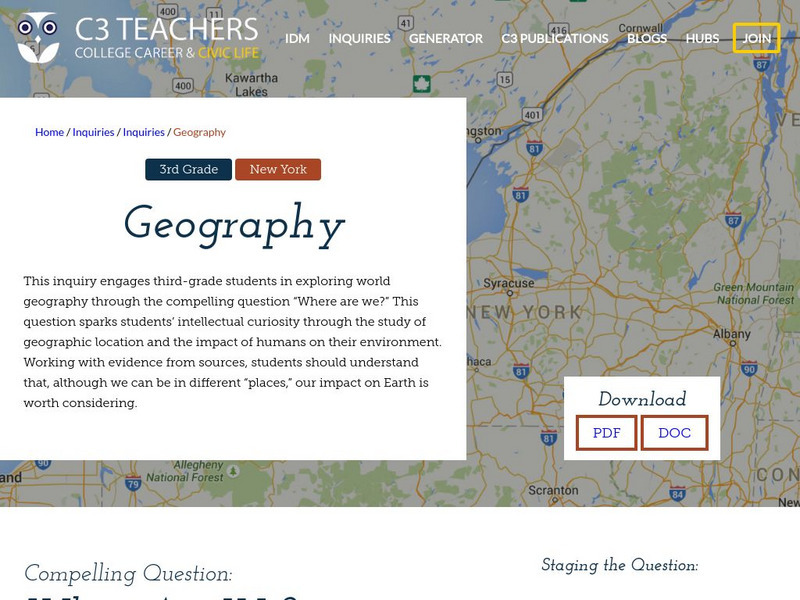
C3 Teachers: Inquiries: Geography
A learning module on world geography. It includes several supporting questions accompanied by formative tasks and source materials, followed by a summative performance task. Students investigate where their community is located, where...
Sophia Learning
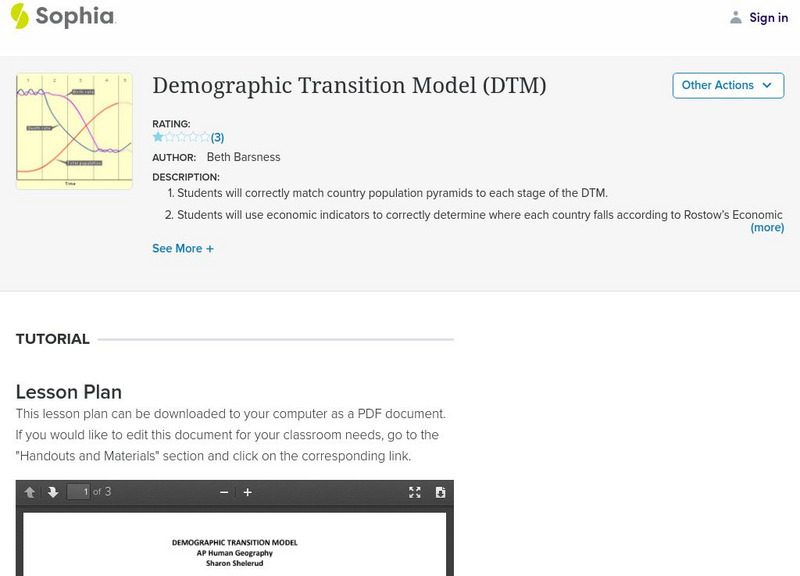
Sophia: Demographic Transition Model Lesson Plan
In this lesson students use the Demographic Transition Model (DTM) to take an in-depth look at four different countries.
Annenberg Foundation
Annenberg Learner: Teaching Geography
An eight-part professional development workshop for 7th-12th grade teachers.
Science Education Resource Center at Carleton College
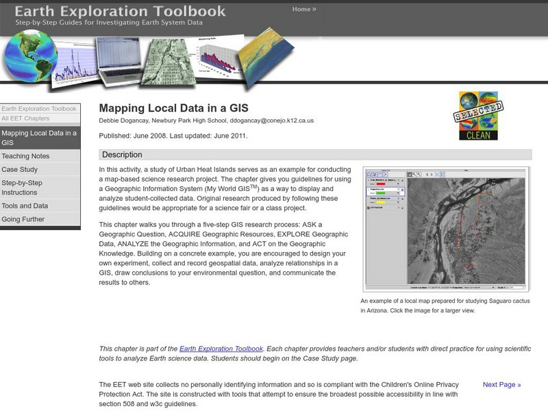
Serc: Mapping Local Data in a Gis
In this activity, students will learn how to conduct a map-based science research project using a Geographic Information System (GIS). They will design an experiment, collect and record geospatial data, analyze geospatial relationships...
National Geographic
National Geographic: Geostories: Geography on the Job
Each story point in this Geostory includes images, a short bio, and an interactive mapping tool that allows students to see the regions where geography work takes place.
American Geosciences Institute
American Geosciences Institute: Earth Science Week: Map Making Basics
This activity will help middle schoolers discover some features as they create a geologic map.
Other
Didactalia: Map of Mexico
Interactive map of Mexico depicting rivers and other physical features.
Alabama Learning Exchange
Alex: Where Am I?
During this lesson students explore the 50 states through the Internet. Students discover important facts and information by navigating the World Wide Web.
Alabama Learning Exchange
Alex: Where in the World Am I?
A collaborative distance learning project on world geography.Two classrooms will interact while solving clues about "mystery" counties.
Alabama Learning Exchange
Alex: World Traveler
Seventh grade social studies students will create a passport and detailed daily travel journal. The project will incorporate a minimum of two types of technology as they create a narrative vividly describing a city/country. Specific...
Sophia Learning
Sophia: Geology: Reading Geological Maps: Lesson 3
This lesson introduces geological maps and explains how to use a key to read the maps. It is 3 of 3 in the series titled "Geology: Reading Geological Maps."
World Geography Games
World Geography Games: Metropolitan Areas
Explore the world's major metropolitan areas through this interactive quiz.
HotChalk
Hot Chalk: Lesson Plans Page: Edible Geography
Pupils learn directional geography and the physical geography of a state by making an edible map using different objects to display the different geographical landmarks.


