Curated by
ACT
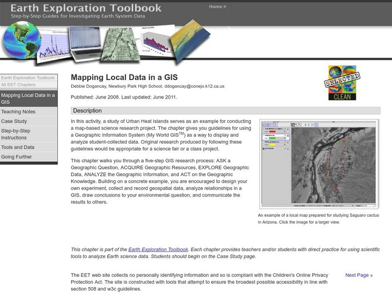
In this activity, students will learn how to conduct a map-based science research project using a Geographic Information System (GIS). They will design an experiment, collect and record geospatial data, analyze geospatial relationships in a GIS, communicate information in a GIS, and draw conclusions to an environmental question. This research would be appropriate for a science fair or a class project.
3 Views
2 Downloads
Concepts
Additional Tags
Classroom Considerations
- Knovation Readability Score: 4 (1 low difficulty, 5 high difficulty)

