Science Education Resource Center at Carleton College
Serc: Mapping Local Data in a Gis
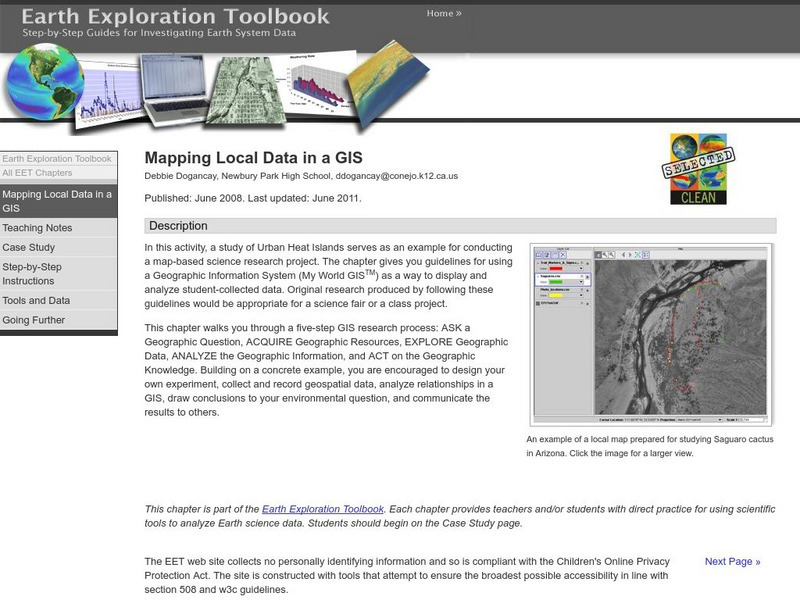
In this activity, students will learn how to conduct a map-based science research project using a Geographic Information System (GIS). They will design an experiment, collect and record geospatial data, analyze geospatial relationships...


