Curated OER
Japan and Disputed Land
Students engage in a variety of activities to research the land disputes that Japan has had in the 20th century with its neighbors. They role play an interesting meeting with the United Nations and conduct research to answer questions.
Curated OER
Size It Up
Students practice their math skills in determining the water/land proportions of the Earth. Using globes, they locate the seven continents and oceans and determine which covers more space. They use this information to participate in...
Curated OER
Getting Out on the Land
Young scholars explore seasonal change in the environment around their community. They investigate how changes in climate are affecting hunting, trapping, fishing and berry picking around their community. Students write about the...
Curated OER
What's planning permission?
High schoolers investigate land regulations. In groups students explore how local councillors grant planning permission and how land is regulated. High schoolers role play making decisions on a planning committee. They discuss why a...
Curated OER
One Square Meter
Learners examine various ecosystems using scientific inquiry. Using the local area, they assess the characteristics and conditions in one square meter. They report their findings in the form of a survey map and data sheet. They...
Curated OER
What Can Be Done to Improve Ha'iku Town Shopping Areas?
Second graders examine different areas to determine how they can be improved. They observe and collect data concerning different problems and use a map to record their information. After analyzing the data, they develop possible...
Curated OER
From the Sea to the Summit, Land Use on Maui
Fourth graders examine the how the land is used on the islands of Hawaii. Using this information, they discover how elevation affects how the land is used and represent this data in a visual form. They describe existing and alternative...
Curated OER
Land Use Issues
Students participate in activities in which they examine land use. They examine the types of animals in a surrounding and how they blend in with the environment. They also examine food resources.
Curated OER
Land Use Issues
Students research the different habitats found in the world. They also examine the land use issues that affect each of the habitats. They also research any environmental issues affecting the habitat they are researching.
Curated OER
Land Use Issues
Students discover seeds are a source of life. They also label the parts of a seed and examine the conditions which are needed for the seed to start growing. They follow the life cycle of seeds.
Curated OER
Land Issues
In this unit of lessons, students examine land issues affecting the world today. They discover what it is like for animals to live and create paper animals. They also examine parts of a tree and how to make dyes from materials found in...
Curated OER
Land Use Issues
In this unit of lessons, students examine analogies and parts of speech. They use land use issues to identify the different parts of speech that they research. They create analogies about the origin of organisms.
Wikimedia
Wikipedia: Canadian National Railway
The Canadian National Railway is the largest and longest railway in Canada. An in-depth profile of the company and its history are included on this website, as well as the CNR today. Also looks at the different kinds of trains, cars, and...
Other
Nasa: Iss Earth Kam
Students get a whole new perspective of the world through images obtained from the International Space Station. Students can even request images to be taken through ISS EarthKAM. Activities and educator guides are provided.
US Geological Survey
U.s. Geological Survey: Land and People: Finding a Balance
Environmental study project engages high school students in studying earth science resource issues. The project focuses on the interaction between people and the environment in three regions of the United States: Cape Cod, Los Angeles,...
US Geological Survey
U.s. Geological Survey: Land Use History and Changing Landscapes
This resource provides links that overview the history of land use in the United States. Numerous satellite images of different areas are provided.
US Environmental Protection Agency
Epa: Envirofacts Data Warehouse
Retrieve information from multiple sources of Envirofacts' System Data for your area of interest. using zip code, city, or county information.
TeachEngineering
Teach Engineering: Ready to Erupt!
Students observe an in-classroom visual representation of a volcanic eruption. The water-powered volcano demonstration is made in advance, using sand, hoses and a waterballoon, representing the main components of all volcanoes. During...
TeachEngineering
Teach Engineering: Mini Landslide
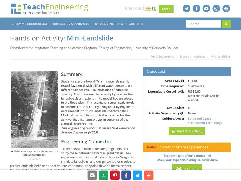
Students explore how different materials (sand, gravel, lava rock) with different water contents on different slopes result in landslides of different severity. They measure the severity by how far the landslide debris extends into model...
TeachEngineering
Teach Engineering: Engineering for the Earth
Young students are introduced to the complex systems of the Earth through numerous lessons on its natural resources, processes, weather, climate and landforms. Key earth science topics include rocks, soils and minerals, water and natural...
TeachEngineering
Teach Engineering: Environment
Through 10 lessons and more than 20 hands-on activities, students are introduced to the concept of an environment and the many interactions within it. As they learn about natural and human-made environments, as well as renewable and...
Other
Physical Geography: Glossary of Terms
Teachers who are looking for a complete course study in physical geography need this site. It is very well organized and colorfully designed. It contains an online glossary, study guides, links, clip art, maps etc.
US Geological Survey
U.s. Geological Survey: The Usgs and Science Education
"Explore things on, in, around and about the earth," with this web site dedicated to K-12 education from the United States Geological Survey. Homework help, science topics and fun learning games for students in Kindergarten through High...
Geographyiq
Geography Iq
Detailed geographical information on any country is available at this site. Within the World Map section, you can get facts and figures about each country's geography, demographics, government, political system, flags, historical and...


