ABCya
Ab Cya: Latitude and Longitude Treasure Hunt
Use the longitude and latitude clues to find the treasures on the map. The more treasures you find the more challenging it will be to find them.
Enchanted Learning
Enchanted Learning: Types of Maps
Enchanted Learning provides an easy-to-understand explanation of projections. Site also provides a graph of related terms such as conic projection, cylindrical projection, Mercator projection, and more.
Science Education Resource Center at Carleton College
Serc: Plotting Earthquakes With Near Real Time Data
This lesson teaches the concept of plate tectonics. Students will access the United States Geological Survey National Earthquake Information Center and plot the longitude latitude and depth of earthquakes on a physiographic chart.
CK-12 Foundation
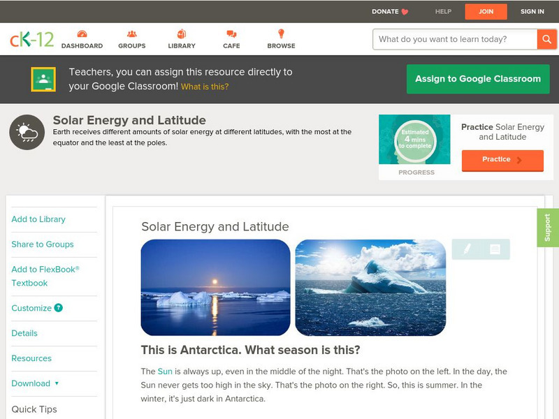
Ck 12: Earth Science: Solar Energy and Latitude
[Free Registration/Login may be required to access all resource tools.] Discusses the relationship between solar energy and latitude.
TeachEngineering
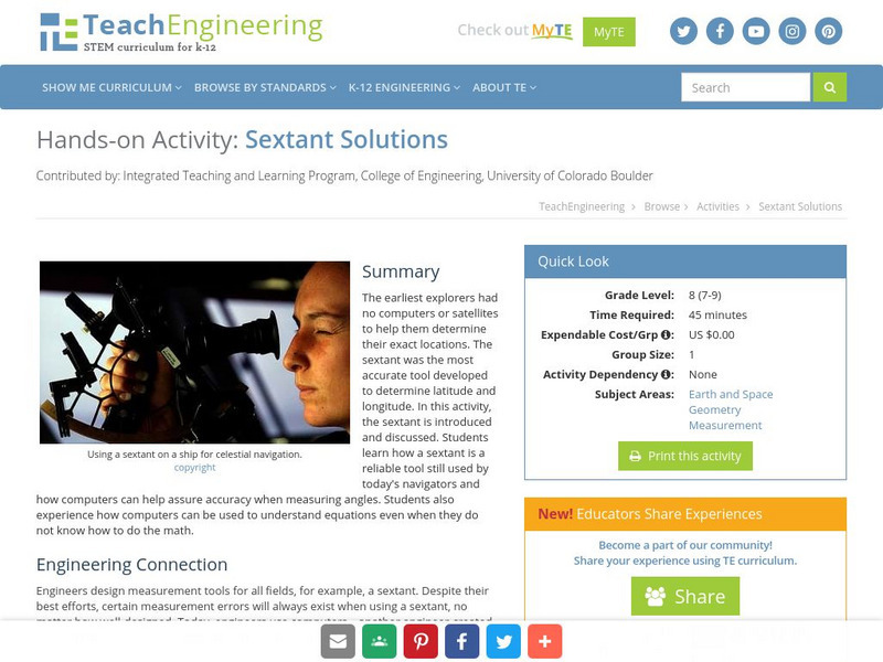
Teach Engineering: Sextant Solutions
The earliest explorers did not have computers or satellites to help them know their exact location. The most accurate tool developed was the sextant to determine latitude and longitude. In this activity, the sextant is introduced and...
TeachEngineering
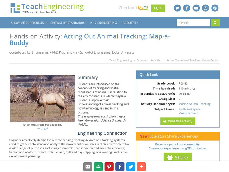
Teach Engineering: Map a Buddy
This activity serves to introduce the concept of tracking and spatial movements of animals in relation to the environment in which they live. The following activity will aid student understanding of animal tracking and how technology...
TeachEngineering
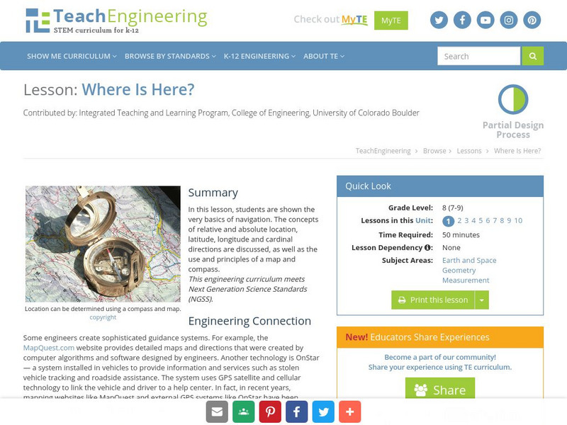
Teach Engineering: Where Is Here?
In this lesson, learners are shown the very basics of navigation. The concepts of relative and absolute location, latitude, longitude and cardinal directions are discussed, as well as the use and principles of a map and compass.
TeachEngineering
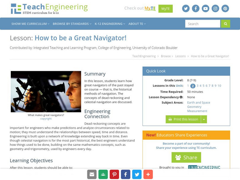
Teach Engineering: How to Be a Great Navigator!
In this lesson, students will learn how great navigators of the past stayed on course - that is, the historical methods of navigation. The concepts of dead reckoning and celestial navigation are discussed.
Read Works
Read Works: Learn About Maps
[Free Registration/Login Required] Intended to support early elementary students' reading comprehension, the basic terminology associated with map are explained in this informational text. A question sheet is available to help students...
National Earth Science Teachers Association
Windows to the Universe: Climate Changes With Latitude
A map showing the division of the world into eight biomes based on different climate types around the world. There are links to more information about each biome.
CK-12 Foundation
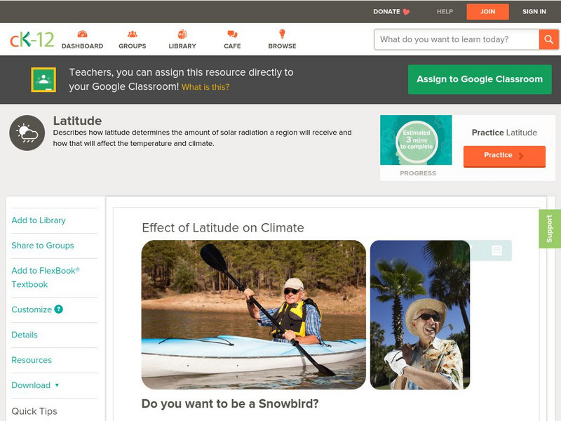
Ck 12: Earth Science: Effect of Latitude on Climate
[Free Registration/Login may be required to access all resource tools.] How latitude affects the climate of a region.
Other
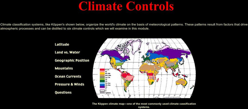
Usc: Climate Controls
An effective presentation of six main climate controls: latitude, land vs. water, geographic position, altitude, currents, pressure and winds.
Illustrative Mathematics
Illustrative Mathematics: F Bf Latitude
For this task, learners are presented with data about latitude and the percentage of the Earth's surface north of each latitude line. They are to use this data to sketch a graph, analyze it, and build an understanding of an invertible...
SMART Technologies
Smart: Latitude and Longitude
Try to locate famous landmarks using latitude and longitude coordinates in this interactive classroom activity.
CK-12 Foundation
Ck 12: Earth Science: Location and Direction
[Free Registration/Login may be required to access all resource tools.] Using latitude and longitude to find a location.
CK-12 Foundation
Ck 12: Earth Science: Effect of Latitude on Climate
[Free Registration/Login may be required to access all resource tools.] How latitude affects the climate of a region.
Rice University
Rice University: Cynthia Lanius: Mathematics of Cartography
Can there be a connection between map making and math? Explore the mathematics of cartography in this resource that integrates web-based instruction, mathematical problem solving, geometry, history, and art. Interesting information and...
CK-12 Foundation
Ck 12: Earth Science: Geographical Determinants of Climate Study Guide
[Free Registration/Login may be required to access all resource tools.] Summarizes the key processes that determine the type of climate. Includes several questions to check for understanding.
CK-12 Foundation
Ck 12: Fifth Grade Science: Earth Science: Climate and Its Causes
[Free Registration/Login may be required to access all resource tools.] Discusses what a climate is, how it is related to latitude, how oceans influence climate, and how mountains affect climate.
City University of New York
Earth and Environmental Sciences: Treasure Hunt
Looking for enrichment? Here's an online treasure hunt requiring skill with directions, distance, contour maps, latitude, and longitude. Also supplementing the activity are interactive quizzes on latitude, longitude, and other related...
Alabama Learning Exchange
Alex: Discover the World of Gps and Geocaching
This lesson will be a creative approach to learning latitude and longitude, and will introduce the students to new technology. Seventh grade students will be given the opportunity to utilize GPS Handheld Tracking Units to understand...
Alabama Learning Exchange
Alex: Gps Scavenger Hunt
This lesson plan will provide 7th and 8th grade students the opportunity to utilize GPS Handheld Tracking Units in order to understand latitude and longitude. Students will work in groups of four to complete a scavenger hunt around the...
CK-12 Foundation
Ck 12: Earth Science: Location and Direction Study Guide
This comprehensive study guide covers the main terms and concepts needed for an earth science unit on latitude and longitude. Review questions are included at the bottom of the study guide.
E-learning for Kids
E Learning for Kids: Math: Dance Performance: Position on a Map
This interactive website allows students to practice their map skills including scale factors on a map.


