Lawrence Hall of Science
DIY Sun Science
Get an up-close-and personal look at the sun from the safety of your classroom with this fun science application. Offering numerous activities, images, and videos, the resource supports children of all ages as they learn about the sun.
Curated OER
Get the Picture!
Astronomers practice downloading data from a high-energy satellite and translate the data into colored or shaded pixels. As a hands-on activity, they use pennies to simulate high-energy satellite data and they convert their penny...
Curated OER
Can You See What I See?
Students gain an understanding of the methods used to explore the earth's surface. Students create a time line leading to the first satellite image of the Earth that includes the various methods utilized to observe the earth's surface.
Curated OER
Village Children in Northern Pakistan
Student use maps to answer geographic questions. They analyze Earth's surface by using a map to identify physical features that lead to different transportation routes. Student create a collage to show geographic insight into the topic...
NASA
Nasa: Imagers: Echo Goes to Arizona!
NASA site follows Echo the Bat as he travels through Arizona using false-color satellite images.
Other
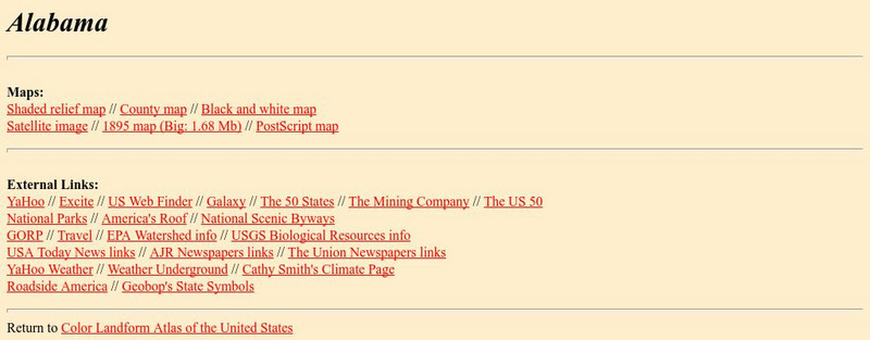
University of Alabama: Alabama Maps
This page contains 3575 maps of Alabama. Includes historical and contemporary maps.
Gulf of Maine Research Institute
Gulf of Maine Aquarium: Comparing Oceans: Warm Up to the Gulf Stream
This site features some background information and a satellite image of the Gulf Stream that you can analyze using information also given at the site. There is a link to an activity about the formation of eddies along the Gulf Stream as...
Johns Hopkins University
Johns Hopkins University: Alabama State Maps
Check out this site from the Johns Hopkins University Applied Physics Laboratory for several different types of maps for the state of Alabama. You can find everything from a county map to a shaded relief map. If you are looking for map...
Science Education Resource Center at Carleton College
Serc: Creating Custom Map Images of Earth and Other Worlds
Become familiar with Jules Verne Voyager, a freely-available online map tool that includes data for Earth as well as several other planets and moons. Create a variety of map images and then save and import the images into a presentation...
Science Education Resource Center at Carleton College
Serc: How Does the Temperature of the Great Lakes Change Over Time?
This activity allows students to use water surface temperature, bathymetric data, and weather data to look at trends in the water temperature of the Great Lakes.
Social Studies for Kids
Social Studies for Kids: Latitude and Longitude
A collection of latitude and longitude mapping activities ranging from pin-pointing exact locations on the globe to researching the history behind this basic geography concept.
Other
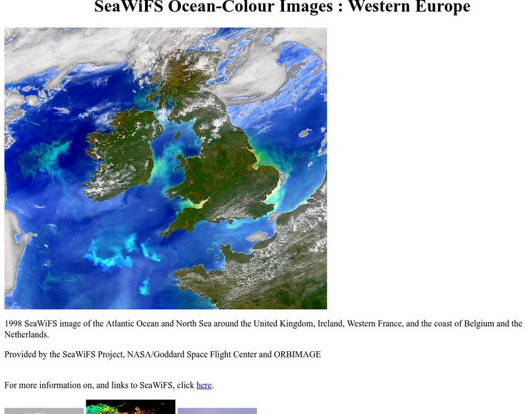
Sea Wi Fs Ocean Colour Images: Western Europe
If you need a great color image of the sea near Western Europe for a project, make sure you look at this page. It has a beautiful satellite image of Europe and its ocean.
NASA
Nasa: Ganges River Delta
View a satellite image of the Ganges river delta. Click on the image to see a more detailed picture.
NASA
Nasa: Astronomy Picture of the Day: Above the Eye of Hurricane Ivan
A satellite image of the eye of hurricane Ivan, one of the deadliest hurricanes to date.


