Curated by
ACT
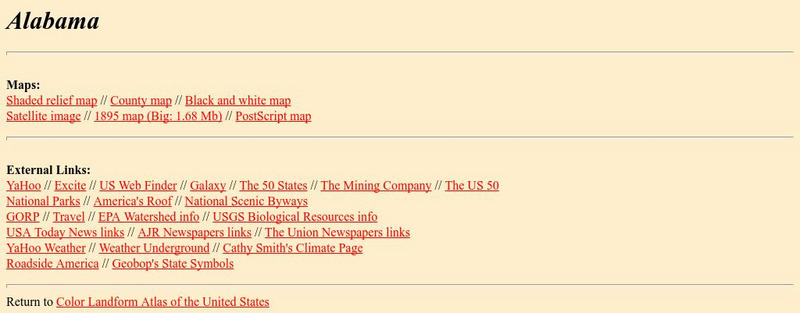
Check out this site from the Johns Hopkins University Applied Physics Laboratory for several different types of maps for the state of Alabama. You can find everything from a county map to a shaded relief map. If you are looking for map information for the state of Alabama you have come to the right place.
3 Views
0 Downloads
Additional Tags
alabama geography, black and white map, county map, geography maps, postscript map, shaded relief map, alabama area, alabama county, alabama elevation, alabama fact, alabama geographic center, alabama geography and data, alabama highest point, alabama information, alabama latitude, alabama longitude, alabama lowest point, alabama major rivers, alabama map, alabama maps, alabama state, alabama state census information, alabama state map, alabama topography, map, maps, maps of alabama, relief map, satellite image, geography and natural resources of alabama
Classroom Considerations
- This resource is only available on an unencrypted HTTP website.It should be fine for general use, but don’t use it to share any personally identifiable information

