Houghton Mifflin Harcourt
Holt, Rinehart and Winston: World Atlas: Mundial Caribe
This site has a map, in Spanish, of the Caribbean islands. Click on any island for greater detail.
National Endowment for the Humanities
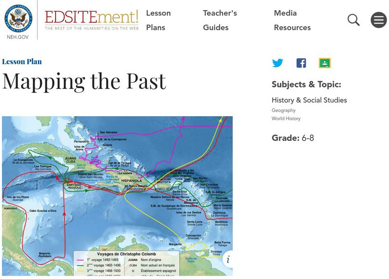
Neh: Edsit Ement: Mapping the Past
This lesson plan requires the students to examine past maps from various cultures in order to learn how the people from that time period interacted and understood their world.
Library of Congress
Loc: Zoom Into Maps
What can we learn from maps? How can we use maps? How can we best read maps? Find out the answers to these with detailed explanations of making the most of maps presented to us. Examples of historical, pictoral, miratory, etc. types of...
Vroma Project
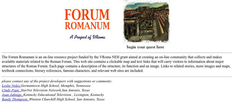
V Roma: Forum Romanum
This site provided by VRoma, provides online resources for the Forum Romanum. Includes clickable map with information on each link.
Science Buddies
Science Buddies: Interpreting Area Data From Maps vs. Graphs
Graphical methods of data presentation are a key feature of scientific communication. This project asks the question, "What's the best way to compare the land area of states: a map or a bar graph?" You'll be measuring performance on two...
Science Buddies
Science Buddies: Are We There Yet? Test How Migratory Birds Navigate
How do you figure out how to get places? Do you ask for directions, look at a map, or consult a compass? There are many ways for people to figure out how to travel from one place to another, but how do other animals do it? In this...
Language Guide
Language Guide: El Aire Libre
Learn to identify things you would see or use in the outdoors or open air when you are hiking or camping. Interactive illustrations model correct pronunciation of vocabulary when the mouse is moved over each picture.
Other
Congo Geography
This site offers a geographical overview of Congo. An interactive map allows to explore different regions of Congo. You may also take the quiz to test your knowledge on Congo.
Other
Marathon Oil Corporation
Find out about Marathon Oil Company, and the many other branches of this company. You can find out what their vision for the future is, who they are, what they do, and whatever else you need to know about them. There is an informative...
Other
University of Alabama: Alabama Maps
This page contains 3575 maps of Alabama. Includes historical and contemporary maps.
Alabama Department of Archives and History
A Map Can Tell a Story
An interesting lesson plan for students to attempt to locate the Alabama counties and identify voting patterns in the state.
University of California
Us Geological Survey: Cartogram Central
The USGS offers detailed information on Types of Cartograms, Congressional Districts, Software for Cartograms, Publications, and a Carto-Gallery.
Wesleyan University
Wesleyan University: Music in the Afghan North, Ethnolinguistic Map
From Wesleyan University this is an ethnolinguistic map of Afghanistan.
PBS
Pbs Learning Media: Cardinal Directions | Activity Starter
A thorough interactive program helping students to understand the cardinal directions.
Other
Thinkmap Inc.: Visual Thesaurus
The most visual thesaurus you will ever see! Watch words become alive and move in front of your eyes. This resource offers a trial version free, which only allows you to look up a certain number of words before it makes you pay....
Other
Geoscience Australia: Landslides
Provides information on recent Australian landslides, maps of Australian landslides, landslide risk assessment, a survival guide, and a shore safety pamphlet. Use the toolbar to your left to navigate through the different information on...
NASA
Nasa Space Science Data Archive: Photo Gallery: Venus
Photos of Venus' surface and cloud tops. Includes 3-D surface views. Thumbnail images load quickly and link to larger files for more detail.
TeachEngineering
Teach Engineering: Scaling the Map
Students learn how to determine map distances and areas using the map scale. They get a feel for how much an area represents on the map in relation to the size they are suggesting for their underground caverns to shelter the Alabraska...
TeachEngineering
Teach Engineering: Plot Your Course Navigation
In this unit, students learn the very basics of navigation, including the different kinds of navigation and their purpose. The concepts of relative and absolute location, latitude, longitude and cardinal directions are discussed, as well...
TeachEngineering
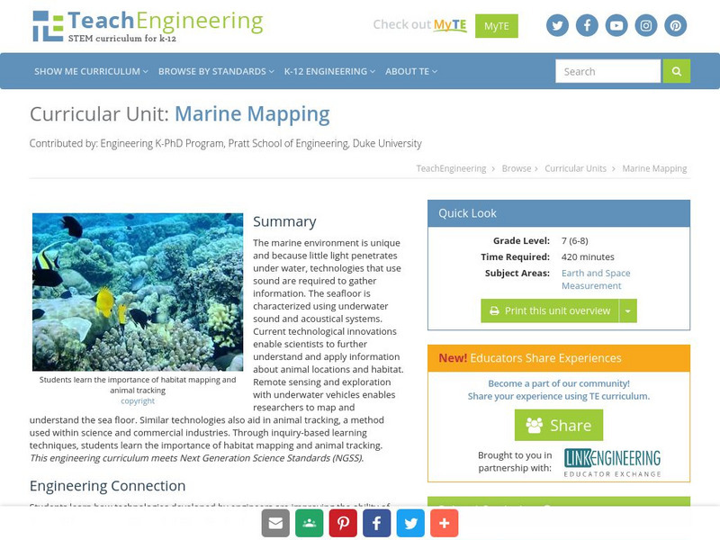
Teach Engineering: Marine Mapping
The marine environment is unique and requires technologies that can use sound to gather information since there is little light underwater. The seafloor is characterized using underwater sound and acoustical systems. Current...
TeachEngineering
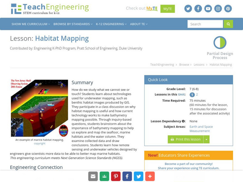
Teach Engineering: Habitat Mapping
The marine environment is unique and requires technologies that can use sound to gather information since there is little light underwater. In this lesson, the students will be shown benthic habitat images produced by GIS. These images...
TeachEngineering
Teach Engineering: Graph Theory in Drama
Students use graph theory to create social graphs for their own social networks and apply what learn to create a graph representing the social dynamics found in a dramatic text. Students then derive meaning based on what they know about...
Other
Physical Geography: Glossary of Terms
Teachers who are looking for a complete course study in physical geography need this site. It is very well organized and colorfully designed. It contains an online glossary, study guides, links, clip art, maps etc.
Library of Congress
Loc: Discovery and Exploration
This American Memory site documents the discovery and exploration of the Americas with both manuscripts and published maps, many of which date from the European Age of Discovery. The site includes 22 map titles and descriptions, as well...


