Curated by
ACT
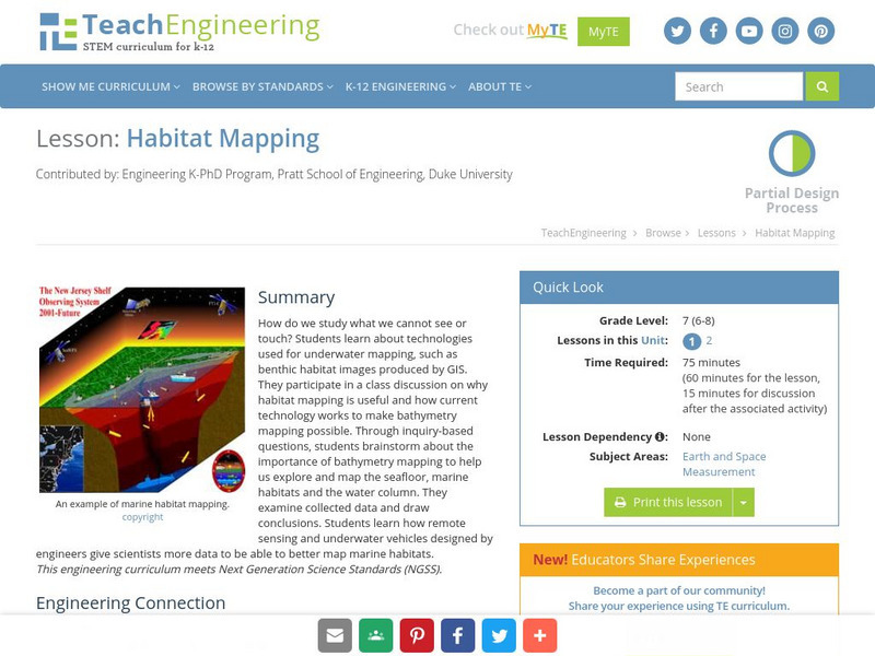
The marine environment is unique and requires technologies that can use sound to gather information since there is little light underwater. In this lesson, the students will be shown benthic habitat images produced by GIS. These images will lead to a class discussion on why habitat mapping is useful and how current technology works to make bathymetry mapping possible. The teacher will then ask inquiry-based questions to have students brainstorm about the importance of bathymetry mapping.
3 Views
1 Download
Concepts
Additional Tags
Classroom Considerations
- Knovation Readability Score: 4 (1 low difficulty, 5 high difficulty)

