Curated OER
TE Lesson: Habitat Mapping
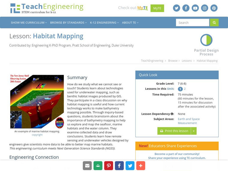
Learners examine the current technologies used in mapping resources in the marine environment. They look at remote sensing, sounding, and underwater vehicles. They examine image from the benthic habitat produced by the GIS in order to...
TeachEngineering
Teach Engineering: Habitat Mapping
The marine environment is unique and requires technologies that can use sound to gather information since there is little light underwater. In this lesson, the students will be shown benthic habitat images produced by GIS. These images...
TeachEngineering
Teach Engineering: Map That Habitat
Historically, sea floor mapping occurred with a more simple data collection method: soundings. Soundings are taken by dropping a weight with a pre-measured rope off the side of the boat and noting the measurement on the rope when the...


