Library of Congress
Loc: Conservation and Environment
Understand the historic and recent use of land in various areas in the United States based on the maps on this site. "These maps show the changes in the landscape, including natural and man-made features, recreational and wilderness...
Library of Congress
Loc: Portuguese Mapping the New World
The Library of Congress provides a discussion of the importance of Portugal in the "European Age of Discovery and Exploration." Includes links to related pages within this same Library of Congress site.
National Endowment for the Humanities
Neh: Edsit Ement: Mapping Our Worlds
In this activity, introduce your learners to the world of maps and discover a world of information online. Students learn how to identify different types of maps, comparing maps to the rooms of a house.
Michigan State University
Michigan State University: Lets Net: Destination: Anywhere (Maps)
A great compilation of ideas to use when teaching about maps and how to read them. Lists of resources, materials, and very detailed lessons are provided in an easy to follow and organized way.
Extreme Science
Extreme Science
Explore the science behind the "extremes" in our world. Organized into sections on earth science, the animal kingdom, technology, and space science, this site opens your eyes to giant creatures, amazing technological advances, vast...
Library of Congress
Loc: American Memory: Macau Cartographic Images
This site from the Library of Congress provides historical maps and photos of Macau, China.
Johns Hopkins University
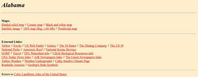
Johns Hopkins University: Alabama State Maps
Check out this site from the Johns Hopkins University Applied Physics Laboratory for several different types of maps for the state of Alabama. You can find everything from a county map to a shaded relief map. If you are looking for map...
Library of Congress
Loc: Local History: Mapping My Spot
Students often think of history as tattered documents, worn photographs, and musty books, all of which have little or no relevance to their lives. Maps provide an often-overlooked source of information and a new and compelling...
Geographyiq
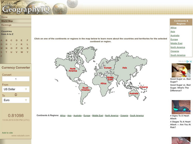
Geography Iq: World Map
Online world atlas allows you to click on one of the continents or regions in the map to learn more about the countries and territories for the selected continent or region.
Internet History Sourcebooks Project
Fordham University: East Asian History Sourcebook: East Asian History Sourcebook
Fordham University, known for its excellent primary historical resources in English translation, provides one for Chinese, Japanese, Korean and Vietnamese history.
Rice University
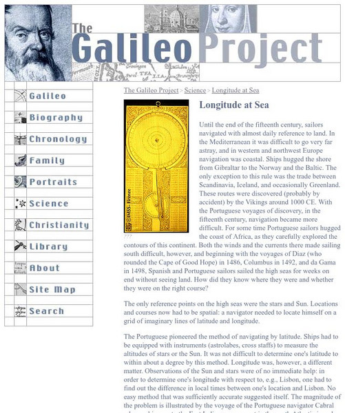
Galileo Project: Longitude at Sea
This site from the Galileo Project of the Rice University provides an in-depth look at the historic problems figuring out longitude. Links are provided throughout this article along with pictures, making this a great site to check out.
Princeton University
Princeton University: Maps of the Islamic Middle East
This site from the Princeton University includes a map collection from Roolvink's "Atlas of the Middle East" with a variety of historical maps on Islam.
Science Education Resource Center at Carleton College
Serc: Mapping Your World
This activity serves as an introduction to mapping skills and the classroom. Students will create a map of the classroom, analyze and determine qualities that make a clear, concise map, then create a database of qualities they will use...
Science Education Resource Center at Carleton College
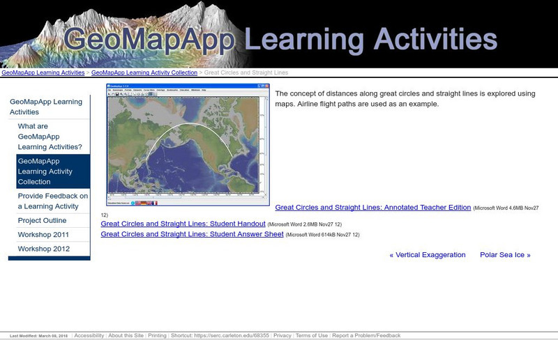
Serc: Great Circles and Straight Lines
Using maps, students explore the concept of distances along great circles and straight lines. Airline flight paths are used as an example.
Lizard Point Quizzes
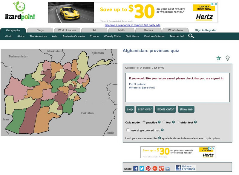
Lizard Point: Afghanistan: Provinces Quiz
Test your geography knowledge by taking this interactive quiz over the provinces of Afghanistan.
Lizard Point Quizzes
Lizard Point: Iran: Provinces Quiz
Try this interactive geography quiz which tests your knowledge over the provinces of Iran.
Lizard Point Quizzes
Lizard Point: Iraq: Provinces Quiz
Test your geography knowledge by taking this interactive quiz over the provinces of Iraq.
Lizard Point Quizzes
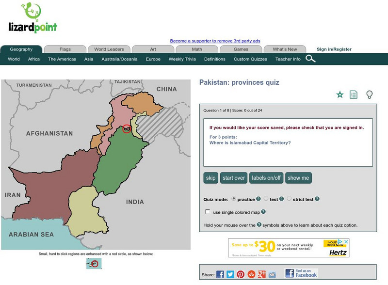
Lizard Point: Pakistan: Provinces Quiz
Try this interactive geography quiz which tests your knowledge about the provinces in the country of Pakistan.
Lizard Point Quizzes
Lizard Point: Sweden: Counties Quiz
Try this interactive geography quiz which tests your knowledge about the counties of Sweden.
Lizard Point Quizzes
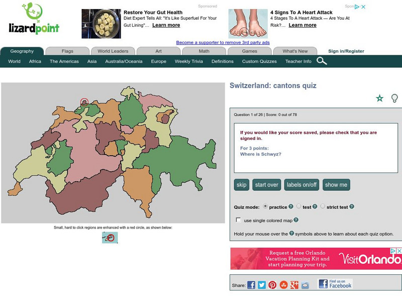
Lizard Point: Switzerland: Cantons Quiz
Test your geography knowledge by taking this interactive quiz over the cantons of Switzerland.
Latimer Clarke Corporation
Altapedia Online: World Map Resources
Features downloadable World Political and Physical Maps that include country names, country borders, ocean features, island names, and lat/long graticules. Clicking on any part of the map enlarges it.
Latimer Clarke Corporation
Atlapedia Online
This site provides both physical and political maps of countries of the world in full color. Also contains key facts and statistics.
Math Science Nucleus
What Is a Map?
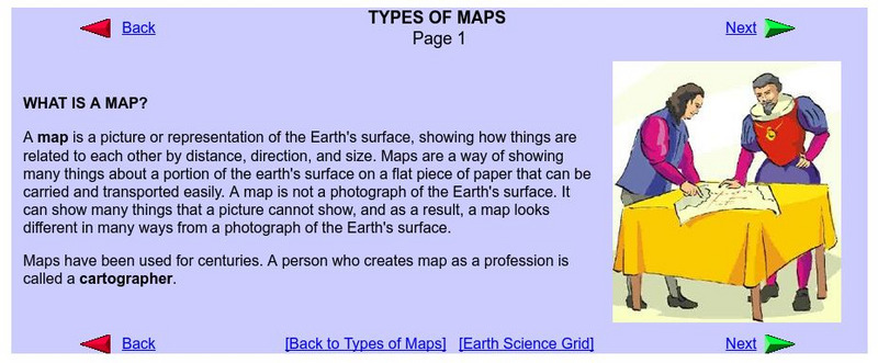
Do you want to know what a map is? If you look here, you will find why we have them and their uses.
NASA
Nasa: Latitude and Longitude
This site from NASA provides definitions of latitude and longitude with good graphics.


