University of Texas at Austin
Perry Castaneda Library Map Collection: Historical Maps of Russia
This outstanding collection of historical maps contains a wide variety of maps from various parts of the Soviet Union as well as the former Soviet Republics, and from different parts of history. Each map is accompanied by a brief...
University of Texas at Austin
Perry Castaneda Library Map Collection: Americas Historical Maps
This collection from the University of Texas Library Online of historical maps contains a wide variety of maps from various parts of the continent and from different parts of history. Each map is accompanied by a brief description and is...
University of Texas at Austin
Perry Castaneda Library Map Collection: Historical Maps of Australia
These incredible historical maps from the University of Texas Library Online provide a clear and detailed account of Australia's history. They also include maps of New Zealand and Tasmania.
University of Texas at Austin
Perry Castaneda Library Map Collection: Historical Maps of Europe
This collection from the University of Texas Library Online of historical maps contains a wide variety of maps from various parts of Europe and from different parts of history. Each map is accompanied by a brief description and is clear...
University of Texas at Austin
Perry Castaneda Library Map Collection: African Maps
At this site find any type of map on Africa. Just click on what you want and you will get an accurate, colorful map.
University of Texas at Austin
Ut Library Online: Historical Map Collection
This extensive collection from the University of Texas Library Online of detailed maps of many regions of the Earth.
PBS
Pbs: American Experience: Destination Cuba
A nice map of the island with information on history, places, and events. Click on the map to bring up a larger Cuba map, then you can click on various places to learn more.
Enchanted Learning
Enchanted Learning: Outline Map of Kyrgyzstan
This site offers an outline map of Kyrgyzstan to print out.
Enchanted Learning
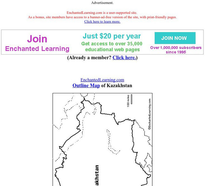
Enchanted Learning: Outline Map of Kazakhstan
Print out this outline map of Kazakhstan.
Enchanted Learning
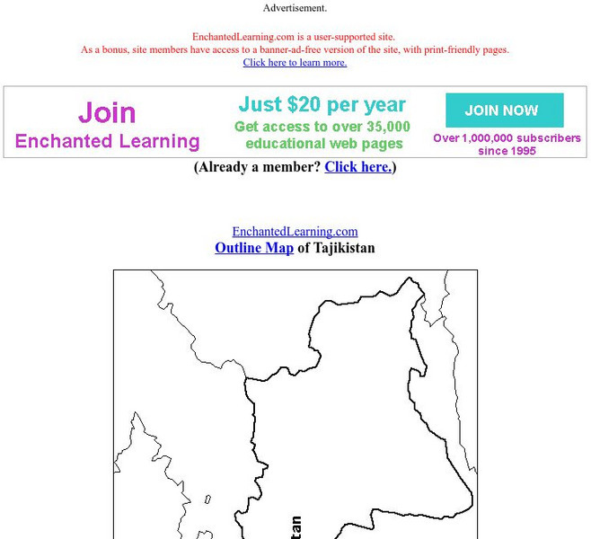
Enchanted Learning: Outline Map of Tajikistan
Practice what you know about Tajikistan's geography by printing out and filling in this outline map.
Enchanted Learning
Enchanted Learning: Map Reading Activity #1
At this site from Enchanted Learning, students can use this printable worksheet and then follow the directions given and practice their map reading skills.
Enchanted Learning
Enchanted Learning: Types of Maps
Enchanted Learning provides an easy-to-understand explanation of projections. Site also provides a graph of related terms such as conic projection, cylindrical projection, Mercator projection, and more.
Microsoft
Microsoft: Map Reading in the 21st Century
Students learn how to make informed use of new digital mapping information and tools. Learners create hands-on learning experiences for understanding the relevance of maps. The lesson plan consists of student activities, resources,...
American-Israeli Cooperative Enterprise
Jewish Virtual Library: The 1967 Six Day War
An archive of articles and documents relevant to the Six-Day War's causes, events, and results.
National Geographic
National Geographic: To Build an Island
"This lesson gives students a basic overview of the geography of islands. They learn where islands are located throughout the world and will study two very different island groups (the Philippines and the British Isles) to illustrate the...
National Geographic
National Geographic: Geostories: Participatory Mapping in the Caribbean
Explore the Caribbean's Grenadine chain of islands through the work of a cartographer and mapping expert.
Library of Virginia
Virginia Memory: Historical Maps With a Modern Use
How can we use historical maps to strengthen our mental maps of the modern world?
Science Education Resource Center at Carleton College
Serc: My Geologic Address: Locating Oneself in Geologic Time and Process
Students find a local location on a series of geologic maps (local,regional,and global) working from small to large scale. Map keys and map features are consulted in order to compose a "geologic address" from the most specific to the...
Other
Georgia Maps
This site allows the user to select various maps of Georgia. Such maps include Physical, Demographic, Political, Historical, and others.
Other
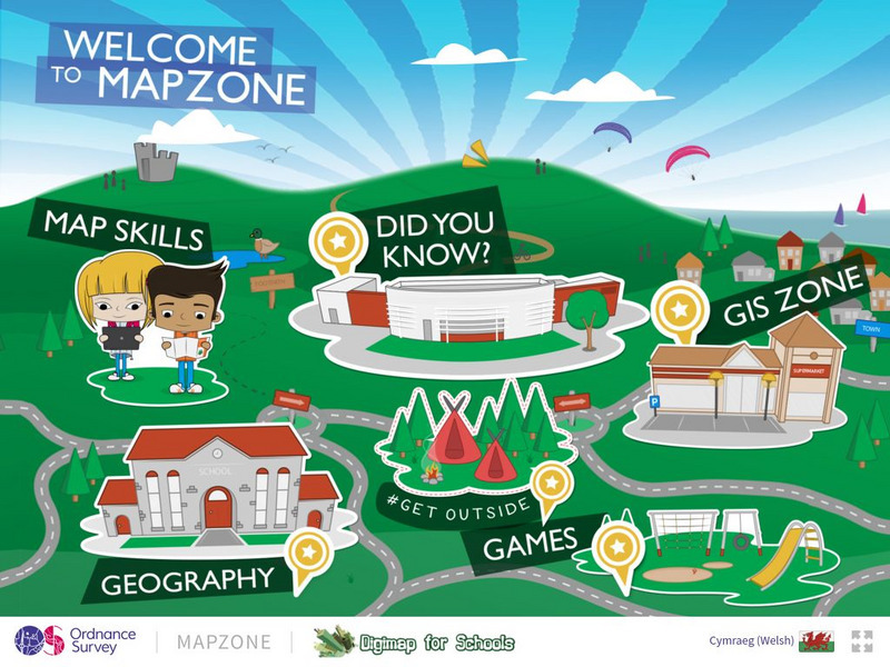
Ordnance Survey: Map Zone
All kinds of fun and interesting ways to learn about maps and acquire mapping skills.
Other
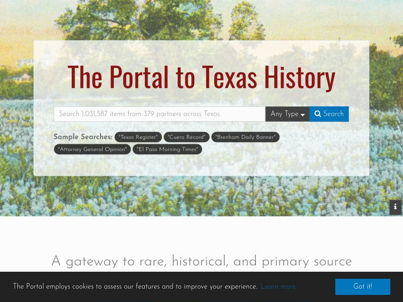
The University of North Texas Libraries: The Portal to Texas History
The Portal is a gateway to Texas history materials where students can discover anything from an ancestor's picture to a rare historical map. From prehistory to the present day, students can explore unique collections from Texas...
TeachEngineering
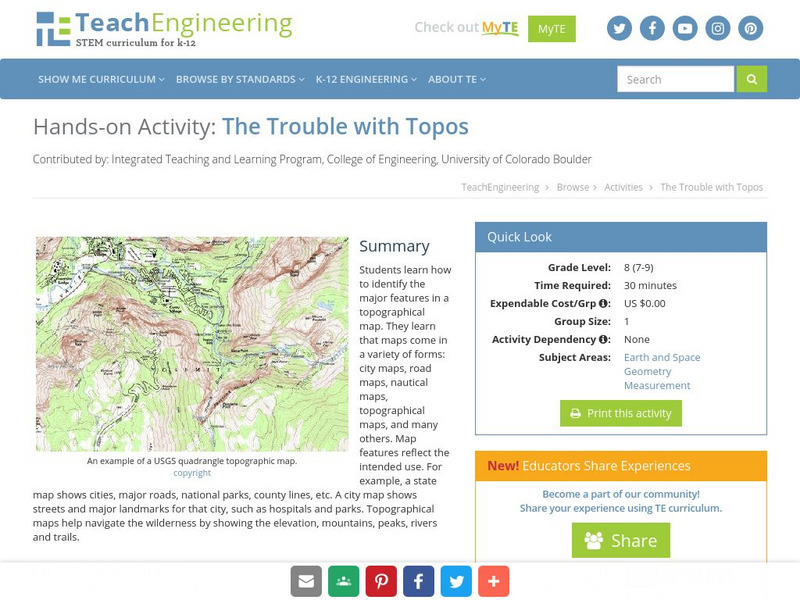
Teach Engineering: The Trouble With Topos
Students learn how to identify the major features in a topographical map. They learn that maps come in a variety of forms: city maps, road maps, nautical maps, topographical maps, and many others. Map features reflect the intended use....
TeachEngineering
Teach Engineering: Topos, Compasses, and Triangles, Oh My!
In this activity, students will learn how to actually triangulate using a compass, topographical (topo) map and view of outside landmarks. It is best if a field trip to another location away from school is selected. The location should...


