Curated by
ACT
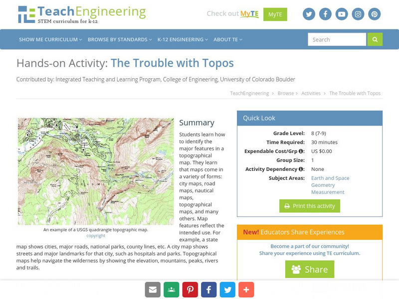
Students learn how to identify the major features in a topographical map. They learn that maps come in a variety of forms: city maps, road maps, nautical maps, topographical maps, and many others. Map features reflect the intended use. For example, a state map shows cities, major roads, national parks, county lines, etc. A city map shows streets and major landmarks for that city, such as hospitals and parks. Topographical maps help navigate the wilderness by showing the elevation, mountains, peaks, rivers and trails.
3 Views
1 Download
Concepts
Additional Tags
Classroom Considerations
- Knovation Readability Score: 3 (1 low difficulty, 5 high difficulty)

