TeachEngineering
Teach Engineering: Topo Map Mania!
Maps are designed to allow people to travel to a new location without a guide to show the way. They tell us information about areas to which we may or may not have ever been. There are many types of maps available for both recreational...
Other
Didactalia: Map of Mexico
Interactive map of Mexico depicting rivers and other physical features.
CK-12 Foundation
Ck 12: Earth Science: Maps
[Free Registration/Login may be required to access all resource tools.] How to use topographic, bathymetric, and geologic maps.
52 Stairs Studio
Scribble Maps
Easily draw on maps and then share them with others. Simple enough to be used by students but powerful enough to be used by GIS professionals.
Other
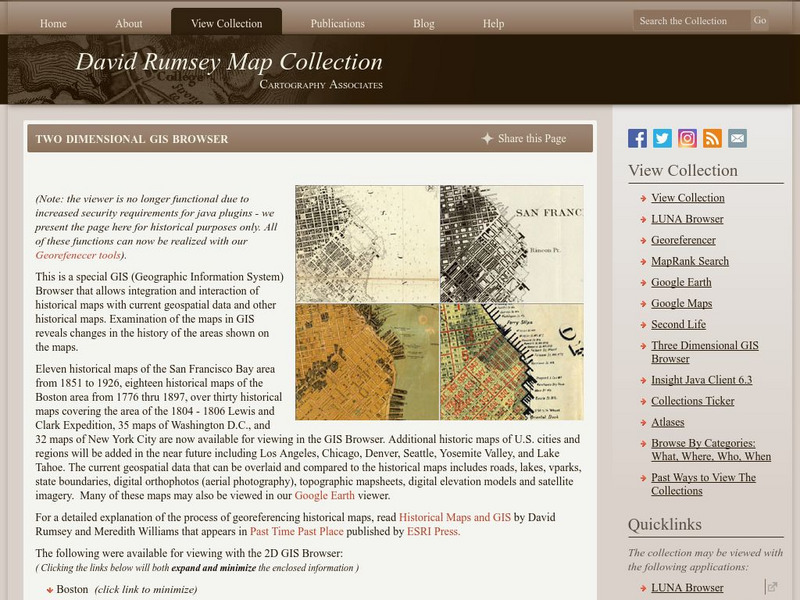
David Rumsey Historical Map Collection
The collection of more than 150,000 maps focuses on rare 18th and 19th-century maps of North and South America, although it also has maps of the World, Asia, Africa, Europe, and Oceania. The collection includes atlases, wall maps,...
Lonely Planet
Lonely Planet: Map of Puerto Rico
Lonely Planet provides a basic colored map of Puerto Rico including major cities and its capital.
Lonely Planet
Lonely Planet: France
This Lonely Planet map of France shows the rivers and mountain ranges as well as major cities. Clicking on a site labeled in color brings the reader to information about that site. Includes Corsica.
Read Works
Read Works: After the Floods
[Free Registration/Login Required] This informational text passage shares information about a horrific flood that devastated parts of Pakistan in 2010. This passage is a stand-alone curricular piece that reinforces essential reading...
Read Works
Read Works: Maps
[Free Registration/Login Required] An informational text about maps and how they are used. A question sheet is available to help students build skills in reading comprehension.
Read Works
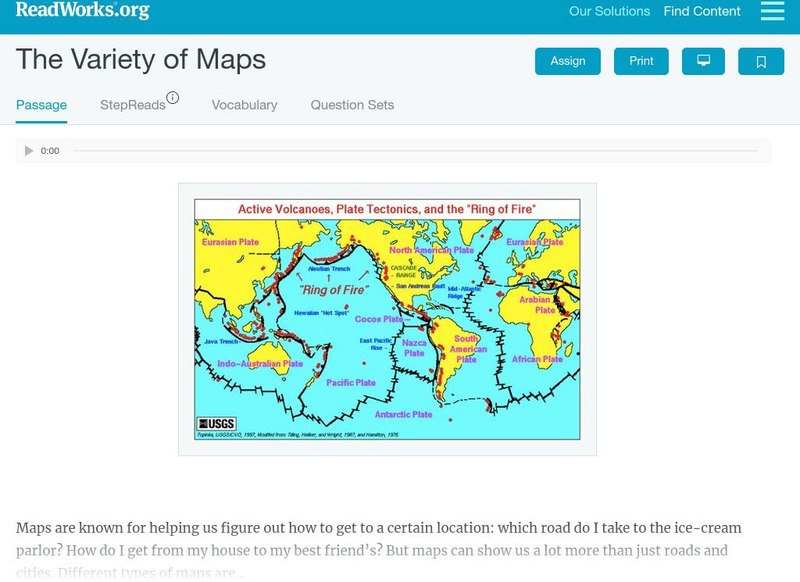
Read Works: The Variety of Maps
[Free Registration/Login Required] An informational text about many different types of maps and the people who make them. A question sheet is available to help students build skills in reading comprehension.
CK-12 Foundation
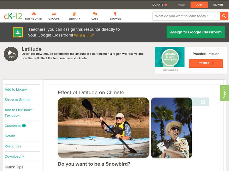
Ck 12: Earth Science: Effect of Latitude on Climate
[Free Registration/Login may be required to access all resource tools.] How latitude affects the climate of a region.
Can Teach
Can Teach: Creating an Edible Map
This imaginative lesson uses food products to demonstrate the physical characteristics of maps.
CK-12 Foundation
Ck 12: Earth Science: Maps
[Free Registration/Login may be required to access all resource tools.] How to use topographic, bathymetric, and geologic maps.
CK-12 Foundation
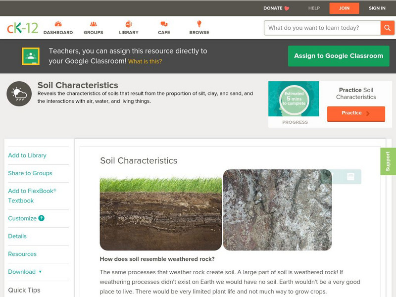
Ck 12: Earth Science: Soil Characteristics
[Free Registration/Login may be required to access all resource tools.] Describes the characteristics and types of soil.
Sophia Learning
Sophia: Choosing Whether to Use Software or Technology to Enhance Ideas
A tutorial explaining how to use technology to create graphics and visuals to enhance documents and presentations. A brief audiovisual presentation identifies types of visuals, and another audiovisual presentation describes how and when...
University of Texas at Austin
Perry Castaneda Library: Ecuador Maps
A collection of links to various maps of Ecuador- political, relief, historical, economic etc. and a city map of Guayaquil and Quito.
University of Texas at Austin
University of Texas: Gambia Maps
This site provides numerous maps for the country of Gambia in Africa. Content includes variuos country maps, city maps, and historical maps.
University of Texas at Austin
Ut Library Online: Historical Maps of the United States
This extensive collection of Historical United States maps from the University of Texas Library Online cover early inhabitants, exploration and settlement, territorial growth, military history, and later historical maps. These maps are...
University of Texas at Austin
Ut Library Online: Historical Maps of the Polar Regions
This collection from the University of Texas Library Online of historical maps contains a variety of maps from various parts of the polar region and from different parts of history. Each map is accompanied by a brief description and is...
University of Texas at Austin
Perry Castaneda Library Map Collection: Sri Lanka Maps
This resource provides several country, city, historical and thematic maps detailing the country of Sri Lanka. PDF (requires Adobe Reader)
Smithsonian Institution
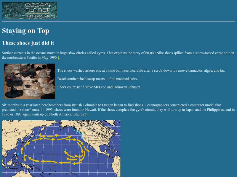
National Museum of Natural History: Ocean Planet: Staying on Top
This is the story of the infamous Nike shoes that washed off a cargo ship. The shoes later showed up along beaches, giving oceanographers another clue as to how ocean currents move.
Other
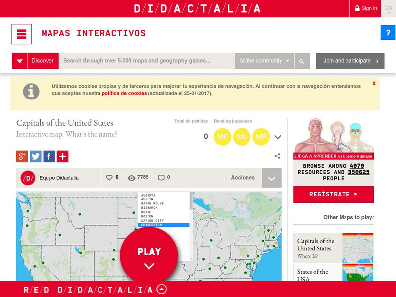
Didactalia: Interactive Map: Capitals of the United States
Interactive map and game to identify capitals of the U.S. states.
Yale University
The Yale Map Collection: Online Maps
Yale University provides us with one of the largest collection of maps in the United States. Here you can view historical online maps covering a variety of subjects.
Japanese Ministry of Foreign Affairs
Web Japan: Cities: Map
By clicking on the city names on this map of Japan, you can read a little about each city and see a picture.


