Annenberg Foundation
Annenberg Learner: Renaissance: Exploration and Trade
Detailed introduction on exploration and trade during the Renaissance. Provides an overview of the tools created during the Middle Ages that made such travels by sea possible as well as insight into the types of goods traders sought in...
Lonely Planet
Map of Scotland
This is a map of Scotland. It is in full color and has all major cities located on it. You can click on the map for information on Scotland.
That Quiz
That Quiz: Practice Test: Europe
This resource provides a practice test which allows users to test their geographical knowledge of Europe.
That Quiz
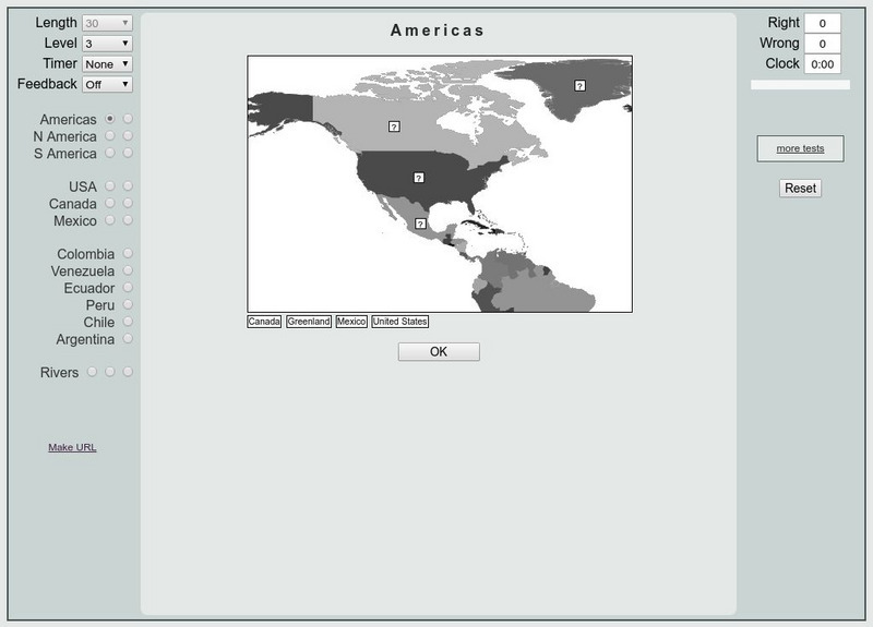
That Quiz: Practice Test: Americas
This resource provides a practice test which allows users to test their geographical knowledge of the Americas.
University of Texas at Austin
Perry Castaneda Library Map Collection: Venezuela Maps
This site provides several country and city maps as they relate to Venezuela.
TeachEngineering
Teach Engineering: Digital Mapping and Geographic Information Systems (Gis)
Geographic information systems (GIS), once used predominantly by experts in cartography and computer programming, have become pervasive in everyday business and consumer use. This unit explores GIS in general as a technology about which...
Other
Completed Maps for Fasttrack to America's Past
This interesting site provides quite a variety of maps from the 1400s to the present, all based on important events occurring in America. You can find a map of Trade Routes Before Columbus, the Japanese Empire, Civil Rights Hot Spots and...
Other
The Silk Road Yesterday and Today: Map Assignment
Assignment from virtual learning module in which students label a map of the Silk Road route with physical features, then take a virtual tour to research goods, artifacts and ideas traded along the way. Students also complete a graphic...
Library of Congress
Loc: Map Collections 1500 2002
This collection provides maps dating back to 1500 up to the present. The collection includes: cities, towns, discovery and exploration, conservation and environment, military battles, cultural landscapes, transportation, communication,...
Other
Metro De Madrid Maps
Detailed downloadable subway maps for Madrid, Spain highlighting significant places around the city. A great way to practice, in Spanish, using a subway map to get around in Madrid to see the sights.
Geographyiq
Geography Iq
Detailed geographical information on any country is available at this site. Within the World Map section, you can get facts and figures about each country's geography, demographics, government, political system, flags, historical and...
Other
Stadtplandienst Map Service
A helpful tool in finding locations in Germany. Just type in an address or town/city, or click on the interactive map, and receive a map of your destination. This site is only in German.
National Geographic Kids
National Geographic Kids: Animals: Cheetahs
National Geographic provides great fun facts about this African cat. Find out where they live. Watch a cheetah in action. Listen to a cheetah purr.
National Geographic
National Geographic: Mapping the Classroom
Learning to use and create maps builds students' spatial thinking skills as well as language skills in the early years. For this lesson, students practice using the language of location and then apply that language when creating a map of...
National Geographic
National Geographic: Mapping Landforms
Students will study landform maps of states and then create a project of their own.
National Geographic
National Geographic: Comparing Historical Maps
Consider the changes that occur in towns, cities, countries through viewing maps from hundreds of years ago and modern day.
US Geological Survey
Geographic Information Systems
This is an extensive resource explaining what Geographic Information Systems (GIS) are, how they work, applications of GIS, and GIS through history.
PBS
Pbs Learning Media: Let's Learn
This collection of resources for children ages 3-8 are drawn from the public television series Let's Learn, a partnership between the WNET Group and the New York City Department of Education. Let's Learn aims to provide our young...
Library of Congress
Loc: Conservation and Environment
Understand the historic and recent use of land in various areas in the United States based on the maps on this site. "These maps show the changes in the landscape, including natural and man-made features, recreational and wilderness...
National Endowment for the Humanities
Neh: Edsit Ement: Mapping Our Worlds
In this lesson, introduce your students to the world of maps and discover a world of information online. Students learn how to identify different types of maps, comparing maps to the rooms of a house.
Johns Hopkins University
Johns Hopkins University: Alabama State Maps
Check out this site from the Johns Hopkins University Applied Physics Laboratory for several different types of maps for the state of Alabama. You can find everything from a county map to a shaded relief map. If you are looking for map...
Texas Instruments
Texas Instruments: Numb3 Rs: The Missing City
Based off of the hit television show NUMB3RS, this lesson has students examine maps of a crime spree in order to figure out if any locations have been unreported. The lesson is not math-intensive and instead forces students to use...
Latimer Clarke Corporation
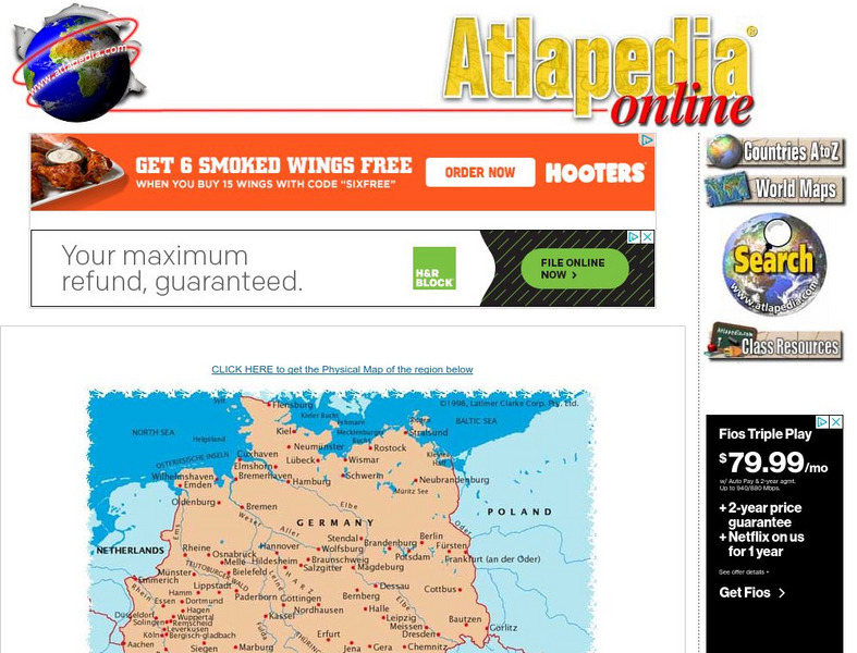
Political Map of German Speaking Countries
Map of Germany, Austria, Liechtenstein and Switzerland showing major cities and rivers, as well as neighboring countries.
Latimer Clarke Corporation
Physical Map of German Speaking Countries
Map of Germany, Austria, Liechtenstein and Switzerland showing topographical features of the German-speaking countries and their neighbors.


