Cynthia J. O'Hora
Mrs. O's House: Geo Web: Be a Cyber Cartographer
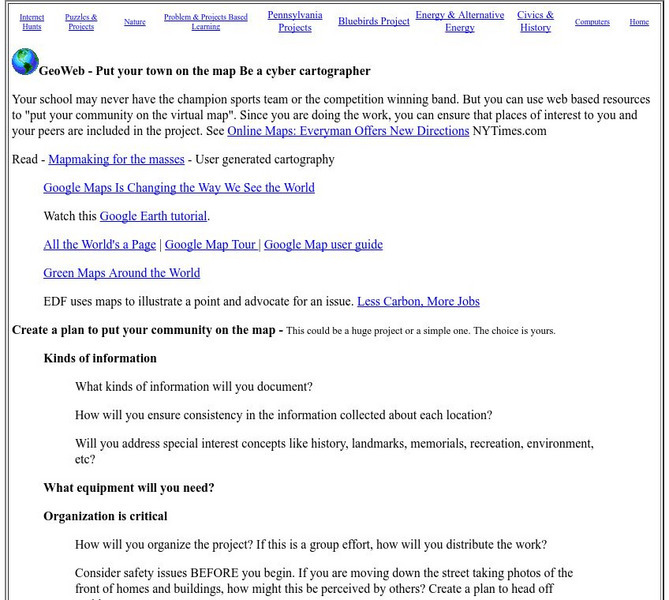
Take a close look at the resources provided and consider how students can put their school and/or community on the map. Discover cartography, virtual mapping, and points of interest in town or of the school.
Math Science Nucleus
What Is a Map?
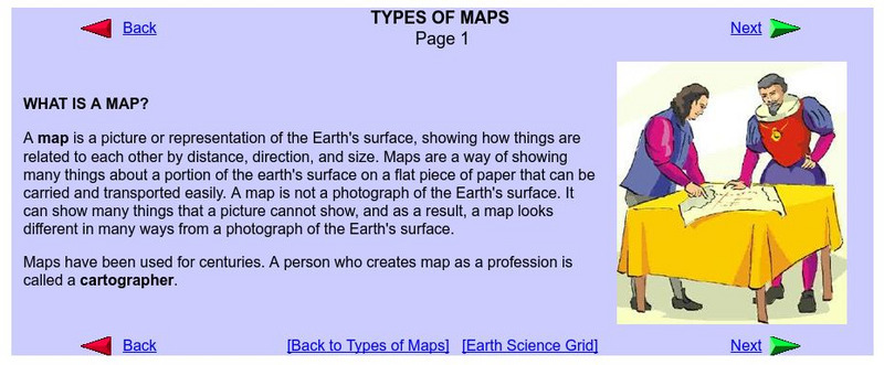
Do you want to know what a map is? If you look here, you will find why we have them and their uses.
Harvard University
Harvard University: Maps and Mapping
This site is provided for by Harvard University. Students follow a map on a scavenger hunt, create a map of their classroom and their town, learn how to read topographic maps, and discover latitude and longitude in these inquiry activities.
Information Technology Associates
Information Technology Associates: Quick Maps
View countries of the world. Maps are quick and easy to read. Some are designed to be printed out for coloring and/or labeling.
Other
Overlap Maps
A map interactive provides an opportunity for observations through overlapping maps. Students are able to better recognize spatial awareness through this program.
Other
Unh Dimond Library: Historic Usgs Maps of New Hampshire
A site with a very plain map, that contains links to detailed maps of more specific areas in New Hampshire.
Other
Alaska Travelers Accomm.: Area Map, Southeast Alaska
These maps show areas in Southeast Alaska. You also will find tourist information about each of the areas at this site.
Other
Florida Keys History Museum: An Early Gulf Stream Map
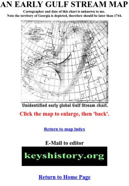
This is one of the earliest maps of the Gulf Stream, probably after 1744.
Trent University
Mas Arriba: En La Clase
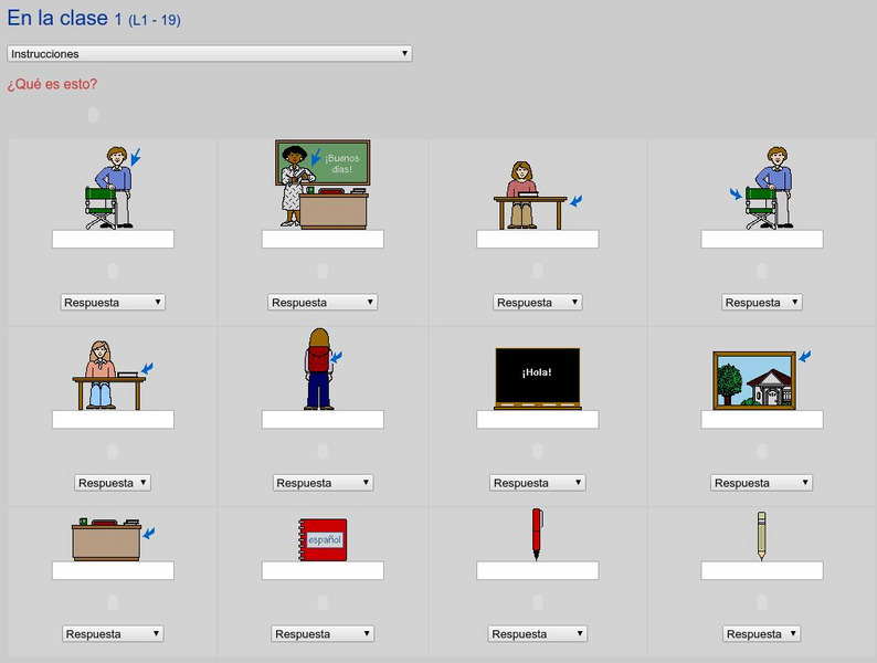
This resource provides an interactive vocabulary exercise on things you would find in the classroom, their plural forms, numbers, saying how much something costs, and colors. Activity includes pictures, audio, instant feed-back and...
Other
Abya Yala Net: Otavalo, Ecuador
Fascinating and comprehensive look at the indigenous culture of Otavalo, Ecuador. Excellent photographs accompany this cultural treatise that examines the history, industry, and tourism of Otavalo. Additional links access more specific...
Mark Harden's Artchive
The Artchive Jasper Johns
This site provides access to 29 images of work by American artist Jasper Johns. Popup ads must be exited before you can see the image.
Other
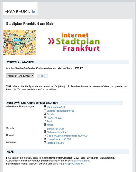
Stadtplan: Frankfurt Am Main
Stadtplan.net provides a zoomable map of Frankfurt, as well as maps of the state of Hessen (Hesse) and Deutschland. In addition to the local map of streets, there is other city info, including links to events such as rock and other...
Other
Jules Verne Voyager
Jules Verne Voyager is an interactive map tool for virtual exploration and comparative planetology of Earth and other worlds. Examine map creation with fully interactive pan and zoom accessing an extensive image selection.
Other
Mountains of Stone: David Thompson Canadian Fur Trader and Mapmaker
Historical novelist O. Ned Eddins shares his knowledge of explorer and mapmaker David Thompson.
Other
The True Size
In an effort to illustrate the spatial concepts of maps, this program provides the ability to select countries or continents and move them over others to better visualize the sizes of each of them.
United Nations
United Nations Cyberschoolbus: Pais a Un Vistazo
Country information at-a-glance from the UN's site for children. In Spanish. Select a country to see its location, major cities, population statistics, links to country newspapers, UN mission contact information, and economic, health,...
Other
Valparaiso University: Carl Ritter
This site from the Valparaiso University provides information on Carl Ritter and Alexander von Humboldt, two famous geographers.
University of Texas at Austin
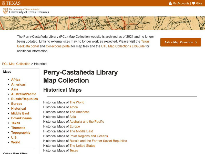
Ut Library Online: Historical Map Collection
This extensive collection from the University of Texas Library Online of detailed maps of many regions of the Earth.
National Geographic
National Geographic: Reading a Resource Map
Students will study maps to recognize where natural resources are found through exercises provided.
Other
Georgia Maps
This site allows the user to select various maps of Georgia. Such maps include Physical, Demographic, Political, Historical, and others.
NASA
Nasa: World Map Puzzle
This site from the National Aeornautics and Space Administration provides an interesting activity with a relief map and its correlation with space. "Wouldn't it be fun to make your own miniature world, complete with mountains, valleys,...
TeachEngineering
Teach Engineering: Nidy Gridy
Normally we find things using landmark navigation. When you move to a new place, it may take you awhile to explore the new streets and buildings, but eventually you recognize enough landmarks and remember where they are in relation to...
TeachEngineering
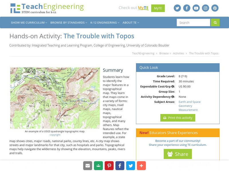
Teach Engineering: The Trouble With Topos
Students learn how to identify the major features in a topographical map. They learn that maps come in a variety of forms: city maps, road maps, nautical maps, topographical maps, and many others. Map features reflect the intended use....
TeachEngineering
Teach Engineering: Topos, Compasses, and Triangles, Oh My!
In this activity, students will learn how to actually triangulate using a compass, topographical (topo) map and view of outside landmarks. It is best if a field trip to another location away from school is selected. The location should...


