Columbia University
Asia for Educators: Outline Maps
The outline maps are designed to be used as transparencies that can be overlaid on an overhead projector to demonstrate the diversity of China's physical and cultural geography. Copies can be printed out and reproduced also for student...
Other
Underwater World, Singapore
At this site you will learn all about Underwater World in Singapore. You can get general information, take a virtual tour, see pictures, and download movies of a diver feeding fish.
Nations Online Project
Nations Online: Indonesia
Interesting reference guide that takes you on a virtual trip to Indonesia. Background overview is given on its art, culture, people, environment, geography, history, economy, and government. There are numerous links available that will...
Nations Online Project
Nations Online: Pakistan
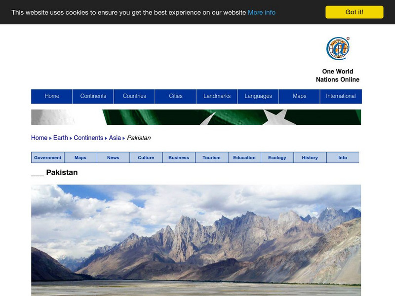
Useful guide to a country profile of the Southern Asian nation of Pakistan featuring background details and numerous links to extensive information on the nation's culture, history, geography, economy, environment, population, news,...
Nations Online Project
Nations Online: Thailand
Interesting reference guide that takes you on a virtual trip to Thailand. Background overview is given on its art, culture, people, environment, geography, history, economy, and government. There are numerous links available that will...
PBS
Pbs: Frontline: Bride Kidnapping and the Role of Women in Kyrgyzstan
Kyrgyzstan is a nation in Central Asia. This learning module will look at how women are viewed and treated and what is expected of them in Kyrgyzstan. Consider the freedoms women have in the United States to other nations.
Curated OER
Educational Technology Clearinghouse: Clip Art Etc: Pompey
Pompey was one of the men, who, having distinguished himself in foreign wars, was looked upon as the natural leader of the city. He increased this already great reputation by his victory over the pirates of the Mediterranean, who had...
Curated OER
Educational Technology Clearinghouse: Maps Etc: Europe, 1888
A map showing country boundaries of Europe as they existed in 1888, including major cities, rivers, and landforms. This map highlights the significance of the use of natural boundaries (rivers and mountains) over cadastral (surveyed or...
Curated OER
Educational Technology Clearinghouse: Maps Etc: Winter Monsoon in India, 1910
A map from 1910 of the Indian subcontinent and the Central Asia region showing the typical rainfall distribution patterns during the winter monsoons, keyed to show areas of rainfall ranging from very light to heavy rainfall. The map...
Curated OER
Educational Technology Clearinghouse: Maps Etc: Summer Monsoon in India, 1910
A map from 1910 of the Indian subcontinent and the Central Asia region showing the typical rainfall distribution patterns during the summer monsoons, keyed to show areas of rainfall ranging from very light to, according to this text, the...
Curated OER
Educational Technology Clearinghouse: Maps Etc: Africa, 1904
"Africa - Second only to Asia in point of size, the continent of Africa, including the islands contiguous to its shore, has an area of 11,854,000 square miles, yet is the least important of all the great divisions of the globe, judged by...
Curated OER
Educational Technology Clearinghouse: Maps Etc: Arabia, 700 Bc
A map of Arabia and adjacent countries around 700 BC to "Illustrate the historic era at the beginning of records.". This map shows regions of fertile lands, sandy deserts, steppe deserts, and mountain ridges. The Tigris, Euphrates, and...
Curated OER
Educational Technology Clearinghouse: Maps Etc: Europe, 1901
A map from 1901 of Europe, showing the political boundaries at the time, capitals and other major cities, mountain and terrain features, lakes, rivers ,islands, and coastal features of the region. The physical division between Europe and...
Curated OER
Educational Technology Clearinghouse: Maps Etc: Physical Europe, 1916
A physical map of Europe from 1916 showing color-coded elevations and water depths for the area extending from Iceland to the Ural Mountains in Russia Proper, and the Arctic Circle to the Mediterranean Sea. Land elevation colors range...
Curated OER
Educational Technology Clearinghouse: Maps Etc: Physical Map of Europe, 1916
A physical map of Europe from 1916 showing color-coded elevations and water depths for the area extending from Iceland to the natural boundary between Europe and Asia (Ural Mountains to the Caspian Sea), and the Arctic Circle to the...
Curated OER
Educational Technology Clearinghouse: Maps Etc: Physical Greece, 1600 265 Bc
A physical map of Greece and the Aegean Sea, showing Greek territories in Asia Minor. This map shows the rivers, mountain terrain, coastal features, and islands of the region.
Curated OER
Educational Technology Clearinghouse: Maps Etc: Japan, 1912
Composed of more than 3000 islands, Japan extends along the Pacific coast of Asia.
Curated OER
Educational Technology Clearinghouse: Maps Etc: North America, 1858
A map from 1858 of North America showing the boundaries at the time for Russian America (Alaska), Greenland, British America or New Britain, Canada East and Canada West, the United States, Mexico, Central America, and the West Indies...
Curated OER
Educational Technology Clearinghouse: Maps Etc: Russia, 1920
A map from 1920 of western Russia showing the political divisions within the country at the time. The map is color-coded to show the boundaries of European Russia, including the territories of Finland, the Baltic Provinces, Poland, White...
Curated OER
Educational Technology Clearinghouse: Maps Etc: Philippine Islands, 1912
A map from 1912 of the Philippine Islands, showing the major islands, cities, coastal features, and surrounding seas. The map shows the railways on Luzon at the time, including the route from Manila to Lingayen in the north, and from...
Curated OER
Educational Technology Clearinghouse: Clip Art Etc: Acropolis
Acropolis, 'the highest point of the city.' Many of the important cities of Greece and Asia Minor were protected by strongholds, so named. The A. occupied a lofty position, commanding the city and its environs; inaccessible on all sides...
Curated OER
Educational Technology Clearinghouse: Clip Art Etc: Arcus
The bow used for shooting arrows, is one of the most ancient of all weapons, but is characteristic of Asia rather than of Europe. In the Roman armies it was scarcely ever employed except by auxiliaries; and these auxiliaries, called...


