Cynthia J. O'Hora
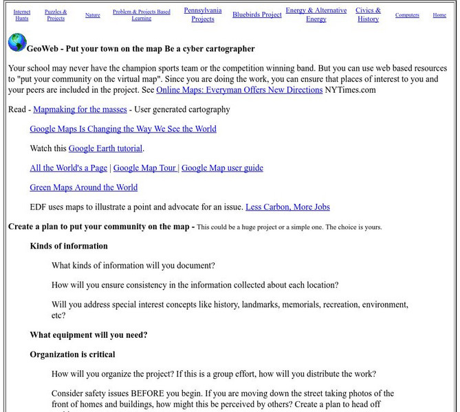
Mrs. O's House: Geo Web: Be a Cyber Cartographer
Take a close look at the resources provided and consider how students can put their school and/or community on the map. Discover cartography, virtual mapping, and points of interest in town or of the school.
Other
Ancient History: 10 Ancient Greek Inventions and Discoveries Still Used Today
Ten of the important inventions and innovations of the ancient Greeks are described. These include the water mill, the odometer, alarm clocks, cartography, the Olympics, geometry, Hippocratic medicine, philosophy, democracy, and...
Khan Academy
Khan Academy: What Maps Tell Us
Maps are subjective, and like any form of art and design they have stories to tell and reveal a lot about the times in which they were produced. Maps involve selections of information, human editing, and a visual language legible to the...
City University of New York
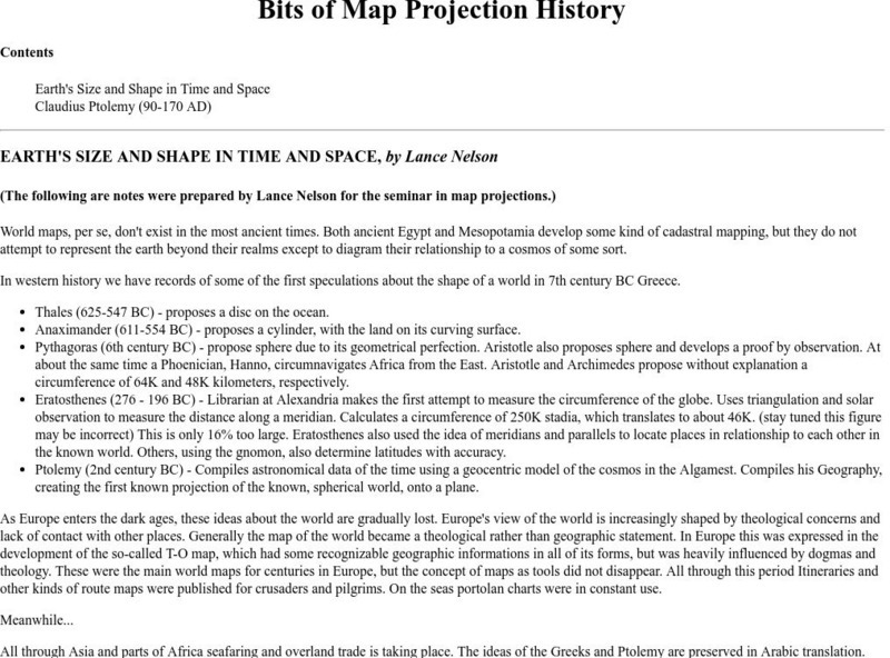
Map Projection Basics: Bits of Map Projection History
Surveys the ideas of Claudius Ptolemy (90-170 AD) in regard to the shape of the world and his influence on the history of mapmaking.
ibiblio
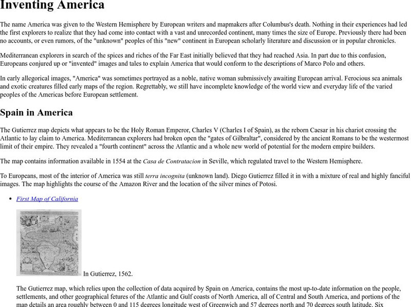
Ibiblio: 1492: An Ongoing Vogage: Inventing America
Archived exhibition reveals how European writers and mapmakers thought about America during the Age of Discovery. Describes the allegorical images Europeans sometimes used to portray America and features the Gutierrez map, drawn in 1562,...
TeachEngineering
Teach Engineering: Digital Mapping and Geographic Information Systems (Gis)
Geographic information systems (GIS), once used predominantly by experts in cartography and computer programming, have become pervasive in everyday business and consumer use. This unit explores GIS in general as a technology about which...
University of Texas at Austin
Ut Library: Perry Castaneda World War Ii Maps
An excellent collection of WWII maps. Scroll down for selections from the European Theater of the war.
National Library of France
National Library of France: Heaven and Earth
Learn how art through the ages has been influenced by the Earth and the heavens. See paintings that attempted to explain the Earth's creation from a scientific standpoint, sacred architecture that provided a place to worship the heavens,...
Other
Modern City and Country Maps of Germany
A German Government user-friendly site that gives links to sites with excellent, up-to-date maps of Germany.
Library of Congress
Loc: Mapping the National Parks
A rich and historically significant collection of maps of various national parks throughout the United States. Features special sections on Yellowstone, Acadia, the Grand Canyon and the Smoky Mountains. Includes historical photographs of...
Library of Virginia
Virginia Memory: Blank Space: Mapping the Unknown
How did early maps show the mapmakers' perception of the known world? Early mapmakers used maps drawn from coastal explorations, land travels, and even information heard word of mouth from American Indians or from colonists or traders....
Other
Stadtplandienst Map Service
A helpful tool in finding locations in Germany. Just type in an address or town/city, or click on the interactive map, and receive a map of your destination. This site is only in German.
Texas Instruments
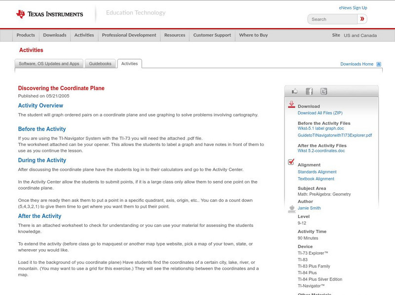
Texas Instruments: Discovering the Coordinate Plane
The student will graph ordered pairs on a coordinate plane and use graphing to solve problems involving cartography.
Science Education Resource Center at Carleton College
Serc: Topographical Maps, Contour Lines and Profiles
In this mapping field lab middle schoolers determine the elevation of a given object in a designated area on the school campus using cartography tools. Then they use of these tools to create a contour map of the area.
Other
Planet Explorers: Captain James Cook (1728 1779)
Famous for cartography and exploration of the Pacific and Antarctic, Planet Explorers provides a brief biography of Captain James Cook.
Other
Saudi Aramco World: Rediscovering Arabic Science
For most westerners, and indeed for many Arabs, the spectacular achievements of Arabic language science from the eighth through the 16th centuries come as a startling discovery, as if an unknown continent had suddenly appeared on the...
University of Oregon
University of Oregon: Interactive Nolli Map of Rome: 1748 Map of Rome
Interactive Nolli Map introduces students to Rome and the structure of its urban form based on the work of eighteenth-century Italian architect Giambattista Nolli. Using the map engine, navigate through the city at a variety of scales,...
Pamela Seed
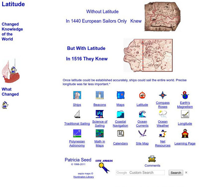
Rice: Latitude: The Art and Science of 15th Century Navigation
This is a great site to read about how navigation began in Europe and what tools were used. Make sure to read the segments on coastal navigation, maps, and ocean currents.
PBS
Kamchatka: Bering Island
PBS television has aired "Kamchatka: Siberia's Forbidden Wilderness" and this website summarizes that film. In it explores Bering Island, which was discovered by Vitus Bering who died there in 1741. It details the week long events of...
Mariners' Museum and Park
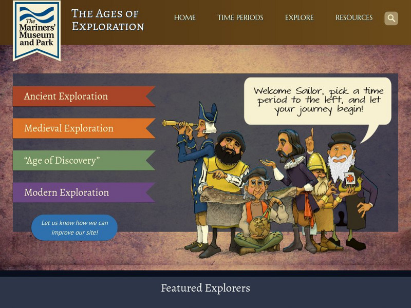
Age of Exploration: Changing View of the World: The Development of Map Making
Read a summary of the history of map-making and the maps that were produced as a result of European exploration in the Americas. See examples of these maps and find out more about each one in this exhibit from the Mariners' Museum.
Other
The Smithsonian: Lewis & Clark: Mapping the West
The Smithsonian's EdGate project provides this illustrated narrative site that explores the mapping of the American West accomplished by the 1804-06 Lewis and Clark expedition.
University of California
Us Geological Survey: Cartogram Central
The USGS offers detailed information on Types of Cartograms, Congressional Districts, Software for Cartograms, Publications, and a Carto-Gallery.
Library of Congress
Loc: Civil War Maps: History of Mapping the Civil War
Investigate the importance of mapping to both the Union and the Confederates in planning their military strategy. From the Library of Congress.
TeachEngineering
Teach Engineering: What Is Gis?
Geographic information systems (GIS) are important technology that allows rapid study and use of spatial information. GIS have become increasingly prevalent in industry and the consumer/internet world in the last 20 years. Historically,...
Other popular searches
- Cartography Lessons
- Cartography Color
- Cartography Geology
- Web Cartography
- Cartography (Maps
- Cartography and Mathematics
- Cartography Sociology
- Cartography Lesson Plans
- Cartography Celestial
- Cartography Sociolocial
- Cartography Australia
- History of Cartography


