American Geosciences Institute
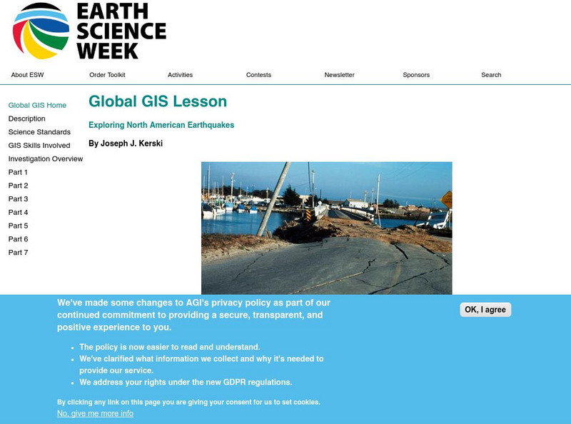
American Geosciences Institute: Earth Science Week: Global Gis Lesson: Exploring North American Earthquakes
In this series of lessons, learners use Geographic Information Systems (GIS) together with the tools and data from the North America Global GIS CD to investigate earthquakes, volcanoes, and population from a local to global scale....
TeachEngineering
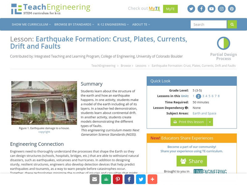
Teach Engineering: Earthquake Formation
Students learn about the structure of the earth and how an earthquake happens. In one activity, students make a model of the earth including all of its layers. In a teacher-led demonstration, students learn about continental drift. In...
Incorporated Research Institutions for Seismology
Iris: Earthquake Magnitude Modeling With Pasta Quake
Using only strands of spaghetti, you and your class can explore the amount of energy released for each level of the earthquake magnitude scale.
TeachEngineering
Teach Engineering: Seismic Waves: How Earthquakes Move the Earth
Students learn about the types of seismic waves produced by earthquakes and how they move the Earth. The dangers of earthquakes are presented as well as the necessity for engineers to design structures for earthquake-prone areas that are...
Science Education Resource Center at Carleton College
Serc: The 2004 Sumatra Earthquake and Tsunami
Using real seismic recordings from a number of seismic stations, students find the location of the epicenter of the 2004 Sumatra earthquake. They next determine the path of the tsunami triggered by it, and calculate how much lead time...
PBS
Pbs Learning Media: Global Earthquakes Activity and Seafloor Features
Young scholars will examine patterns between volcanic activity and seafloor features. NASA tracked volcanic activity for 15 years and created an animated map from their data. Compare this map to a map of seafloor features to reveal...
PBS
Pbs News Hour Extra: Preparing for the Ongoing Impact of Tsunamis and Earthquakes
Using geologist's tools and the lessons from the historic Japan earthquake of 2011, students predict when a disaster will hit and the need for disaster preparedness in communities.
Science Buddies
Science Buddies: Build an Earthquake Resistant House
For this project, students will build model earthquake-resistant buildings and measure their movement during a simulated earthquake using a mobile phone and a sensor app.
Better Lesson
Better Lesson: Building an Earthquake Resistant Structure
How can you use the engineering design process to build a structure that can stand up to an earthquake?
Ruth Patrick Science Education Center
Ruth Patrick Science Education Center: Shaking It Up With Earthquake Engineering
Students will learn basic information about earthquakes and their impact. They then follow the engineering design process as they construct earthquake-resistant buildings using toothpicks and marshmallows. The buildings are tested using...
Scientific American
Scientific American: Earthquake Proof Engineering for Skyscrapers
Learners construct a shake table, then build towers of different heights using Lego blocks, and test their stability on this platform. Next, they test towers with different sized bases, and towers made using different materials.
TeachEngineering
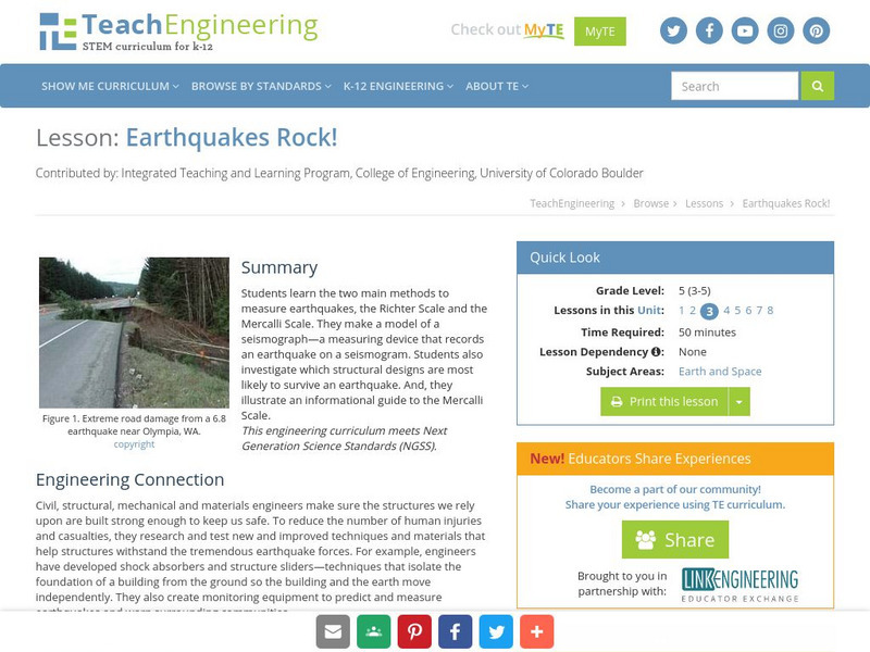
Teach Engineering: Earthquakes Rock!
Students learn the two main methods to measure earthquakes, the Richter Scale and the Mercalli Scale. They make a model of a seismograph - a measuring device that records an earthquake on a seismogram. Students also investigate which...
Science Education Resource Center at Carleton College
Serc: 2004 Asian Earthquake and Tsunami Disaster Project
Students are employees of a unit of the United Nations responsible for coordinating disaster relief after a major disaster (the 2004 Asian Earthquake and Tsunami) occurs. The agency needs to understand the situation in each country so...
Science Education Resource Center at Carleton College
Serc: Musical Plates: A Study of Earthquakes and Plate Tectonics
Four part lab activity involves students using real-time data to solve a problem, study the correlation between earthquakes and tectonic plates, and determine whether or not there is a relationship between volcanoes and plate boundaries.
Incorporated Research Institutions for Seismology
Iris: Can Humans Cause Earthquakes?
A class investigation studying whether or not human factors can cause earthquakes through hydraulic fracturing.
Incorporated Research Institutions for Seismology
Iris: Earthquakes, Like Ripples on Water?
In this activity, students investigate the classic Earth science analogy, "Seismic waves radiate outward from an earthquake's epicenter like ripples on water."
University of Houston
University of Houston: Earthquakes
This exercise will help students understand the plate boundaries of earthquakes.
Science Buddies
Science Buddies: Measuring the Earth's Core With Seismic Waves
When an earthquake occurs, seismic shock waves travel out through the earth from the source of the event. The shock waves travel through the earth (body waves), or along the Earth's surface (surface waves), and can be recorded at remote...
American Geosciences Institute
American Geosciences Institute: Earth Science Week: Modeling Earthquake Waves
Students model earthquake waves with a slinky toy.
Center for Innovation in Engineering and Science Education, Stevens Institute of Technology
Ciese: Musical Plates: Designing an Earthquake Resistant Structure
A lesson where students look at how the sudden movement in an earthquake causes a building to collapse, and how to design a building that can withstand it.
Science and Mathematics Initiative for Learning Enhancement (SMILE)
Smile: Earthquake Waves and Their Destructions
Looking for the epicenter of an earthquake and measuring the magnitude of waves are goals for students in this lesson plan for intermediate to middle school students. Students get to analyze the P and S waves.
PBS
Pbs News Hour: The 1906 San Francisco Earthquake (Lesson Plan)
A lesson that directs students through an examination of primary documents related to the 1906 San Francisco earthquake and fire. The plan also provides instructions for leading students through a discussion of how personal narratives...
Science Education Resource Center at Carleton College
Serc: Getting to the Point: Exploring Tectonic Motion Point Reyes Seashore
The intent of this module is for students to make straightforward numerical calculations as they learn about earthquake geology at a National Park.
Science Education Resource Center at Carleton College
Serc: Bot Ec: The San Andreas Fault's Rate of Movement
The San Andrea is an active fault zone, marked by frequent earthquake activity. The crust southwest of this strike-slip fault (including Los Angeles) is sliding to the northwest relative to the other side. It is possible to estimate the...
Other popular searches
- Volcanoes and Earthquakes
- San Francisco Earthquake
- Earthquake Proof Buildings
- Indian Ocean Earthquake
- Earthquakes and Epicenter
- Web Quest Earthquakes
- Plotting Earthquakes
- Earthquake Lab
- Earthquake Vocabulary
- Volcanoes Earthquakes
- Earthquake Safety
- Earthquakes Epicenters


