Other
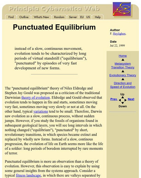
Principia Cybernetica Web: Punctuated Equilibrium
Starts with a definition of Punctuated Equilibrium, followed by an explanation of this "Observation," and how it fits with other evolutionary theory.
Other
River Systems of the World
Find statistics about the many river systems of the world. Includes facts such as length, drainage area, cities, notable tributaries, and more. Also provides links to sites about some of the rivers.
National Earth Science Teachers Association
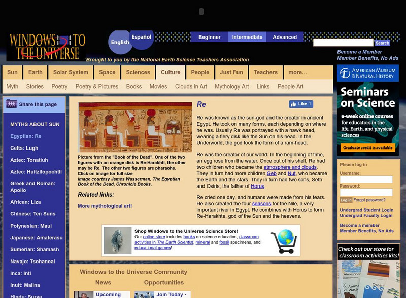
Windows to the Universe: Re
Windows to the Universe provides a brief overview of Re, the sun-god and creator of ancient Egypt.
ClassFlow
Class Flow: Enrichment Ancient Egypt
[Free Registration/Login Required] This flipchart describes life in ancient Egypt, the Egyptians belief systems and the mummification and burial process during those times. Discussion questions are posed throughout this activity.
Curated OER
Educational Technology Clearinghouse: Maps Etc: Egypt and Syria, 1912
A map of Egypt showing the major cities of the Nile Delta and the Nile River south to Assouan at the First Cataract in Upper Egypt.
Curated OER
Educational Technology Clearinghouse: Clip Art Etc: Luxor Temple
Luxor Temple is a large Ancient Egyptian temple complex located on the east bank of the River Nile in the city today known as Luxor (ancient Thebes) and was founded in 1400 BC. Known in the Egyptian language as ipet resyt, or "the...
Curated OER
Educational Technology Clearinghouse: Maps Etc: Africa, 1919
A map from 1919 of Africa showing the territorial changes made after World War I. The map shows the areas ceded by Germany, including Togo and Kamerun to be decided by British and French mandate, German East Africa under British mandate,...
Curated OER
Educational Technology Clearinghouse: Maps Etc: Colonial Africa, 1902
A map of Africa in 1902 showing the European colonial possessions established at the Berlin Conference in 1885, and the Turkish or Ottoman possession of Tripoli. This map shows major cities, rivers, and mountain systems, canals and head...
Curated OER
Educational Technology Clearinghouse: Maps Etc: Colonial Africa, 1899
Map of Africa in 1899 showing the colonial possessions of European powers on the continent established at the Berlin Conference of 1885. This map shows major cities and trade centers, railroad routes and canals, major river systems, and...
Curated OER
Educational Technology Clearinghouse: Maps Etc: Africa Physical, 1915
Physical map of Africa showing major landforms and waterways, including the Atlas Mountains, Mount Kilimanjaro, the Saharan, Libyan, Arabian, and Kalahari Deserts, The Upper and Lower Guinea Coasts, the Congo Basin, Lake Victoria, and...
Curated OER
Educational Technology Clearinghouse: Maps Etc: The Story of Africa, 1912
A stylized relief map of Africa, showing the Sahara, major rivers and lakes, mountains, "wild country," and other features. The Sahara is labeled as "The Great Desert that No Man Could Cross." with pyramids and temples drawn along the...
Curated OER
Educational Technology Clearinghouse: Maps Etc: Pre Colonial Africa, 1885
A map of the African continent prior to the Berlin Conference of 1885, when the most powerful countries in Europe at the time convened to make their territorial claims on Africa and establish their colonial borders at the start of the...
Curated OER
Educational Technology Clearinghouse: Maps Etc: Pre Colonial Africa, 1858
Map of Africa in 1858, prior to the extensive European colonization of the continent established at the Berlin Conference of 1885. This map shows the European possessions of the Cape Colony, Natal, and Orange River Free State, and the...
Curated OER
Educational Technology Clearinghouse: Maps Etc: Northeastern Africa, 1906
Map of Northeastern Africa in 1906 showing the region and territorial boundaries after the Berlin Conference of 1885. The map shows the European land claims of English East Africa, Kongo Free State, British Somali Land and Italian Somali...
Curated OER
Etc: Maps Etc: Egypt, Abyssinia, Et Cetera, 1904
"Egypt is another of those countries whose prehistoric ages are wrapped in mystery as impenetrable as the sources of her Nile, whose exact location ling baffled the most enterprising of explorers. Great interest attaches to the country's...
Curated OER
Etc: Maps Etc: Population Density in Africa, 1916
A map showing the population density of Africa in 1916 showing density ranges from under 2 inhabitants to areas along the Nile River valley and delta of more than 512 inhabitants per square mile.
Curated OER
Etc: Maps Etc: Political and Physical Africa, 1901
A map from 1901 of the political and physical features of Africa. The map uses color-contouring to show highlands above 2000 feet in buff tints, lowlands in greens, and the submerged part of the continental plateau in light blue. The map...
Curated OER
Etc: Maps Etc: Africa Before the Berlin Conference, 1884
This is an interesting map of Africa showing the continent before the Berlin Conference of 1885, when the most powerful countries in Europe at the time convened to make their territorial claims on Africa and establish their colonial...
Curated OER
Etc: Maps Etc: Physical and Political Map of Africa, 1879
Map of pre-colonial Africa, showing the predominately native countries and territories of the African continent in 1879. The counties include the Barbary States of Morocco, Algeria, Tunis, Tripoli and Fezzan, the Egyptian territories of...
Curated OER
Educational Technology Clearinghouse: Maps Etc: Arabia, 700 Bc
A map of Arabia and adjacent countries around 700 BC to "Illustrate the historic era at the beginning of records.". This map shows regions of fertile lands, sandy deserts, steppe deserts, and mountain ridges. The Tigris, Euphrates, and...
Curated OER
Educational Technology Clearinghouse: Maps Etc: Egypt, 1908
This map shows the sites of several ancient Egyptian dynasties along the Nile River.
Curated OER
Educational Technology Clearinghouse: Maps Etc: Tanis, 1886
Plan of the ancient Egyptian site of Tanis, often referred to as the Thebes of the North. Tanis was the Lower Egyptian capital during the late period during the nineteenth dynasty. It was built on the Tanitic arm of the Nile River near...
Curated OER
Educational Technology Clearinghouse: Maps Etc: Suez Canal, 1909
A map of the Suez Canal in 1909 from Port Said on the Mediterranean in the north to Port Ibrahim on the Gulf of Suez in the south. The map shows the railroad connecting the city of Suez to Cairo and the rest of the Nile Delta, freshwater...
Curated OER
Educational Technology Clearinghouse: Maps Etc: Suez Canal, 1919
A map of the Suez Canal in 1919 from Port Said on the Mediterranean in the north to Port Ibrahim on the Gulf of Suez in the south. The map shows the railroad connecting the city of Suez to Cairo and the rest of the Nile Delta, freshwater...
Other popular searches
- Nile River
- Nile River Valley
- West Nile Virus
- Nile River Map
- Ancient Egypt Nile River
- Nile River Valley Timeline
- The Nile River
- Blue Nile
- Ancient Egypt Geography Nile
- Nile River Background
- Egypt Nile River
- Nile Delta


