Geographyiq
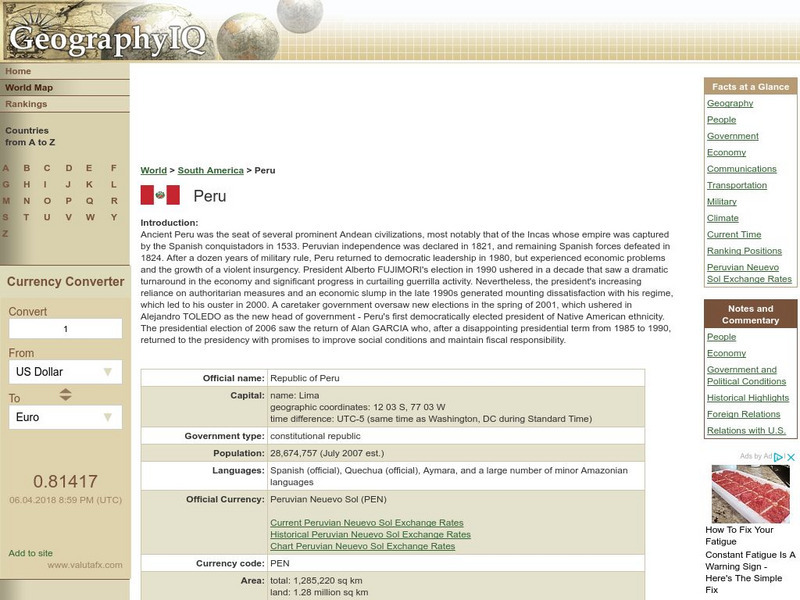
Geography Iq: Peru
Comprehensive site that gives you "Facts at a Glance" or more in-depth information about such topics as geography, people, economy, climate, or foreign relations. Have fun exploring the South American country of Peru.
Science Struck
Science Struck: Widest River in the World
Explains why the Amazon River should be considered to be the widest river in the world, rather than the Rio de la Plata, also in South America.
Globe Tracks
Travel for Kids: Peru
An excellent site containing exciting things to learn about Peru from a family tourism perspective. Explore things to do in Lima, the Andes, Lake Titicaca, the Amazon, and the North of Peru. Also, contains picks for children's books on...
Other
River Systems of the World
Find statistics about the many river systems of the world. Includes facts such as length, drainage area, cities, notable tributaries, and more. Also provides links to sites about some of the rivers.
Curated OER
Educational Technology Clearinghouse: Maps Etc: South America (Physical), 1915
Physical map of South America showing major cities (including cities with a population over one million), major landforms and waterways, including the Andes, the Amazon River and Amazon Basin, the Guyana Highlands, the Parana River, the...
Curated OER
Etc: Maps Etc: Orographic Chart of South America, 1891
An orographic chart from 1891 showing the various mountain systems, plateaus, plains, and rivers in South America. The map is keyed to show light portions as mountains, and shaded portions as plains, with the system of the Andes (1),...
Curated OER
Educational Technology Clearinghouse: Maps Etc: South America (Physical), 1901
A map from 1901 of South America showing the physical features of the region. This map is color-coded to show general elevations from sea level to over 6,500 feet, mountain systems, drainage divides, lakes, rivers, coastal features, and...
Curated OER
Educational Technology Clearinghouse: Maps Etc: Rainfall in South America, 1898
A map from 1898 showing mean annual rainfall in South America. The map shows the equatorial rain belt in July and in January, the direction of prevailing winds and their effect on rainfall patterns. The map shows regions ranging from...
Curated OER
Educational Technology Clearinghouse: Maps Etc: Drawing of South America, 1872
A base map from 1872 illustrating instructions for drawing South America. The map shows the equator, major rivers, mountain systems, and includes two east-west cross-sections showing the central and southern Amazon Basin and Andes.
Curated OER
Etc: Maps Etc: Orographical Map of South America, 1911
An orographic map of South America from 1911 showing the primary mountain systems and general elevations, and major river systems. The map is color-coded to show elevations from sea level to over 12000 feet, with highlands in buff tints...
Other
Native American Indian Cultures
Extensive listing of the Native American Indian Cultures from Mexico and various parts of South America. Click on an Indian culture and obtain valuable information about each unique tribe.
Adventure Learning Foundation
Adventure Learning Foundation: Peru Expedition
Thorough, informative site about the country of Peru. Click here to learn all about Peru.
Curated OER
Educational Technology Clearinghouse: Maps Etc: South American Rainfall, 1901
A map from 1901 showing mean annual rainfall in South America. The map shows the equatorial rain belt in July and in January, the direction of prevailing winds and their effect on rainfall patterns. The map shows regions ranging from...
ClassFlow
Class Flow: National Geographic Survey
[Free Registration/Login Required] How much do you know about the world around us? Questions provided by National Geographic Survey. http://www.nationalgeographic.com/roper2006/findings.html
Curated OER
Etc: Maps Etc: The Peaks and Volcanoes Which Form the Andes, 1873
An orographic sketch map from 1873 of the Andes mountain chains. The map divides the system into the Andes of Columbia and Ecuador, Andes of Bolivia and Peru, Andes of Chile, and Andes of Patagonia. The map is keyed to show the prominent...
Curated OER
Educational Technology Clearinghouse: Maps Etc: Brazil and Guiana, 1911
A map from 1911 showing the British, Dutch, and French Guiana colonies, and eastern Brazil from approximately 60 degrees west of Greenwich to the Atlantic Coast, and from Guiana in the north to Sao Paulo in the south, and the Amazon...
Khan Academy
Khan Academy: Amazonian Peoples, an Introduction
This is a short introduction to the Amazonian people and their culture.


