Geographypods
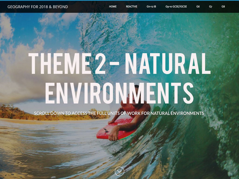
Geographypods: Theme 2: Natural Environments
A rich collection of highly engaging learning modules on topics related to the natural environment. Covers four main areas - plate tectonics, forms and processes, weather and climate, and rainforest and desert. Within each of these,...
University Corporation for Atmospheric Research
Ucar: Project Sky Math
Teachers will be interested to explore the SkyMath module, and the 16 classroom activities at this site. In this program, students will collect and record real-time weather data to analyze. Data analysis, graphing, number relationship,...
Science Buddies
Science Buddies: Dry Spells, Wet Spells: How Common Are They?
Here's a project that looks at what the weather was like for over a hundred years. The goal of the project is to compare long-term precipitation patterns in different regions of the country. You will work with historical climate data,...
Scholastic
Scholastic: Analyze: Forecast the Weather
Choose a weather-related topic, view the map, then make your own weather forecast.
Science Education Resource Center at Carleton College
Serc: The Heat Is On: Understanding Local Climate Change
A lesson unit where learners analyze long-term weather data for Phoenix to look for changes that have occurred over time. They look at factors that would cause climate warming, including greenhouse gases and other phenomena. They then...
Alabama Learning Exchange
Alex: What's the Weather Like?
Young scholars will use the Internet to compare the weather forecast for their city with other cities throughout the United States each week during this unit. Data will be charted for a five-day period then analyzed and discussed.
TeachEngineering
Teach Engineering: Wild Wind
Students will learn the difference between global, prevailing and local winds. In this activity, students will make a wind vane out of paper, a straw and a soda bottle and use it to measure wind direction over time. Finally, they will...
University Corporation for Atmospheric Research
Ucar: Anatomy of a Storm's Clouds
Students analyze cloud data from a storm that crossed the United States in late November 2019. They identify cloud types from photos of the sky in various locations to identify the zonation of clouds across a cold and warm front.
ArtsNow
Arts Now Learning: Realizing the Power of Your Own Creativity [Pdf]
In this instructional activity, students interpret a poem called 'The Little Blue Engine' by adding music, movement, visual art, and drama. After performing their creation, they will discuss any mathematical and/or scientific connections...
TeachEngineering
Teach Engineering: Mind Bending Gps Occultations
Students learn about the remote sensing radio occultation technique and how engineers use it with GPS satellites to monitor and study the Earth's atmospheric activity. Students may be familiar with some everyday uses of GPS, but not as...
TeachEngineering
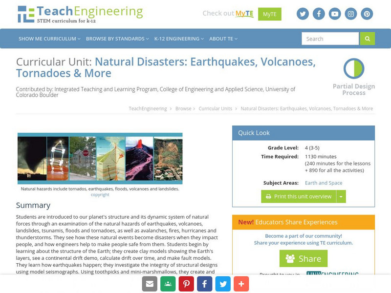
Teach Engineering: Natural Disasters
Students are introduced to our planet's structure and its dynamic system of natural forces through an examination of the natural hazards of earthquakes, volcanoes, landslides, tsunamis, floods and tornados, as well as avalanches, fires,...
NOAA
Noaa: Cpc: Weekly Enso Update
Weekly updates on data collected and analyzed by the Climate Prediction Center. Includes sea surface temperature, subsurface tropical Pacific analyses and much more. Extensive site: check it out!
Science Education Resource Center at Carleton College
Serc: The Nature of the Land Around Us
An inquiry investigation which allows students to drive their learning by creating questions about the land around them. They collect varied data to analyze the nature of the land, and as a result, investigate erosion and weathering in...
Science Buddies
Science Buddies: Mapping Troposhperic Ozone Levels Over Time
Ozone in the stratosphere protects the earth by absorbing harmful ultraviolet radiation from the sun. However, when ozone occurs in the troposphere, it is harmful to health. In this project you can use data from EPA monitoring stations...
University of Illinois
University of Illinois: Earthquakes of the World
Resource contains a lesson plan that utilizes data from earthquakes. Students are instructed to analyze and interpret line graphs that display the earthquake data.


