Other
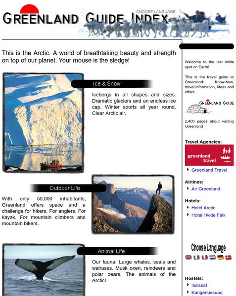
Greenland Guide Index
The official guide to Greenland features information about tourism as well as the geography and culture of Greenland.
Ducksters
Ducksters: Geography for Kids: Greenland
A site that is dedicated to the history, capital, flag, climate, terrain, people, economy, and population of Greenland.
Canadian Museum of Nature
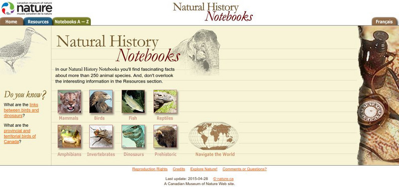
Canadian Museum of Nature: Natural History Notebooks
This site from the Canadian Museum of Nature, a natural history museum, provides short information blurbs and fun facts on over 240 different common animals categorized by type (mammals, fish, reptiles, invertebrates, amphibians,...
Curated OER
Bureau of Land Management: Bureau of Land Management
The BLM manages one in every 10 acres of land in the United States, and approximately 30 percent of the Nation's minerals. These lands and minerals are found in every state in the country and encompass forests, mountains, rangelands,...
Encyclopedia of Earth
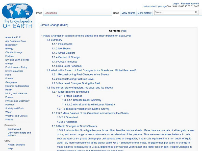
Encyclopedia of Earth: Rapid Changes in Glaciers and Ice Sheets
The world's glaciers and ice sheets are melting according to this extensive report. It makes recommendations on how to monitor this situation, explains what we know about the past when there was much less ice in the world, describes what...
Curated OER
Photograph: Captain Joseph Elz
A summary of the life and contributions of explorer Joseph Bernier. Discussed are Bernier's travels to the Arctic as well as his role in establishing Canadian sovereignty in Canada's northern Arctic region.
Curated OER
Photograph: Captain Joseph Elz
A summary of the life and contributions of explorer Joseph Bernier. Discussed are Bernier's travels to the Arctic as well as his role in establishing Canadian sovereignty in Canada's northern Arctic region.
Virtual Museum of Canada
Virtual Museum of Canada: Community Stories: Tuhaalruuqtut Ancestral Sounds
With the use of Inuit Art, photograph, and audio accounts (in the languages of the Inuit Peoples), the suffering, culture, and perseverance of Aboriginal settlements in the Canadian North is explored in an in-depth manner.
Tramline
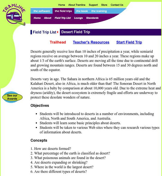
A Desert Virtual Field Trip
Travel with your students on a virtual field trip and explore the deserts of the world! This is site is interactive and informative.
University of California
Ucmp: The World's Biomes
The University of California Museum of Paleontology hosts this site devoted to the study of the earth's biomes, which are the world's major communities, classified according to the predominant vegetation and adaptations of organisms to...
Oklahoma Mesonet
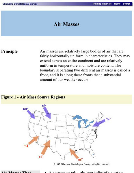
Oklahoma Climatological Survey: Air Masses
This Oklahoma Climatological Survey explores how air masses form, as well as the weather formations, which tend to appear on the edges of these masses in what is known as a front.
Other
Yukon College: Geographic Concepts: Introduction to Circumpolar Geography
This article explains the geography of the circumpolar north, which includes northern Eurasia. Read about the different climates and ecozones in this area. Includes student assignments.
Other
Physical geography.net: Introduction to the Atmosphere
A very detailed description of air masses, how they move and interact, and what weather takes place when this happens.
Regents of the University of Michigan
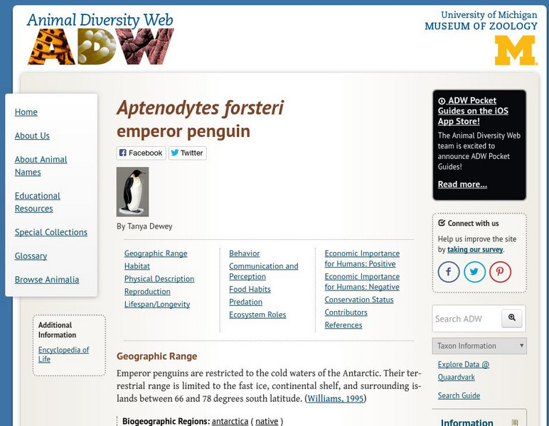
Animal Diversity Web: Emperor Penguin
This site provides a detailed overview of the Emperor Penguin. Content includes a focus on this bird's physical characteristics, geographic range, natural history, economic importance for humans, and more.
Curated OER
Etc: Maps Etc: Climate and Life Provinces of North America, 1911
A map from 1911 of North America and Central America showing the seven climate zones and three life provinces in the region. The map is color-coded to show the Arctic, Hudsonian, and Canadian climate zones (Boreal Region), Transition,...
Curated OER
Etc: Maps Etc: Mean Average Temperatures in North America, 1906
A map from 1906 of North America showing the mean annual isotherms of the region given in degrees Fahrenheit. "The climate of North America naturally varies greatly, depending on latitude, the general atmospheric circulation or direction...
Curated OER
Etc: Maps Etc: Orographic Chart of North America, 1891
An orographic map from 1891 of North America showing the principal mountain systems, rivers, and terrain features of the region. The map is coded to show high lands and mountain regions, and shaded regions of plains, with dark lines...
Curated OER
Etc: Maps Etc: Physical Features of Europe, 1901
A map from 1901 of Europe, showing the physical features of the region. This map is color-coded to show general elevations from sea level to over 6,500 feet, mountain systems, drainage divides, lakes, rivers, coastal features, and the...
Curated OER
Educational Technology Clearinghouse: Maps Etc: Animals of Asia, 1906
A pictorial map from 1906 illustrating the various animals that live in regions of Asia. "The white bear, the seal and many sea birds are found near the Arctic shore. In the cold parts of Siberia tribes of yellow people keep herds of...
Curated OER
Educational Technology Clearinghouse: Maps Etc: River Basins of Asia, 1912
A map from 1912 showing the various drainage basins across the Asian region. This map is color-coded to show watersheds draining to the Pacific Ocean in pink, to the Indian Ocean in green, to the Arctic Ocean in purple and inland basins...
Curated OER
Educational Technology Clearinghouse: Maps Etc: Drainage Basins of Asia, 1916
A map from 1916 showing the various drainage basins across the Asian region. This map is keyed to show watersheds draining to the Bering Sea, Sea of Okhotsk, Sea of Japan, South China Sea, and Pacific Ocean, watersheds draining to the...
Curated OER
Etc: Maps Etc: Elevations of the Asian Continent, 1912
An orographic map of Asia from 1912 showing average elevations and land features of the region. The map uses color-contouring to show land elevations from depressions below sea level to above 12,000 feet. Offshore fathom contour lines...
Curated OER
Educational Technology Clearinghouse: Maps Etc: Eastern Canada, 1885
A map from 1885 of eastern Canada showing the provinces of Ontario, Quebec, New Brunswick, Prince Edward Island, Nova Scotia, with an inset map of Newfoundland. This map shows the county boundaries for the region, including the...
Other popular searches
- The Arctic Region
- Social Studies Arctic Region
- Sciencegrade 1 Arctic Region
- Science Grade 1 Arctic Region
- Polar Region Arctic


