Other
Discover Canada Through National Maps and Facts: Relief
Links to all of Canada's provinces and territories relief maps. Maps can be viewed as a picture or as a .pdf file. Be sure to check out the links to lesson plans as well as the many other types of maps.
University of Alberta
Atlas of Alberta Railways: Before the Railway: Trails, Canoes and York Boats
Presented by the University of Alberta, this resource contains information on the early trade routes used in western Canada before the construction of the railway. The site also provides digital maps showing the locations of the land and...
University of Alberta
Atlas of Alberta Railways: The Grand Trunk Pacific Railway
Presented by the University of Alberta, this resource contains information on the founding and development of The Grand Trunk Pacific Railway. The site also provides primary source resources in the the form of photographs, excerpts,...
University of Alberta
Atlas of Alberta Railways: The Railway Labourers: The Navvies
Many immigrants died during the building of Canada's railway. How they were recruited, their housing, food, pay, etc. are detailed here.
University of Alberta
Atlas of Alberta Railways: Land Grant System
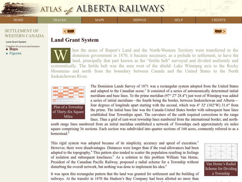
Presented by the University of Alberta, this resource contains information on the land grant system in the Alberta region. Information on how the Canadian government used land grants in the late 19th century to spur population growth in...
University of Alberta
Atlas of Alberta Railways: Alberta's Early Non Indigenous Settlers
Presented by the University of Alberta, this resource contains information on the early non-indigenous settlement in the Alberta region. Information on the settlers themselves is provided as well as maps showing the growth in both...
Can Teach
Can Teach: Creating an Edible Map
This imaginative lesson uses food products to demonstrate the physical characteristics of maps.


