Massachusetts Institute of Technology
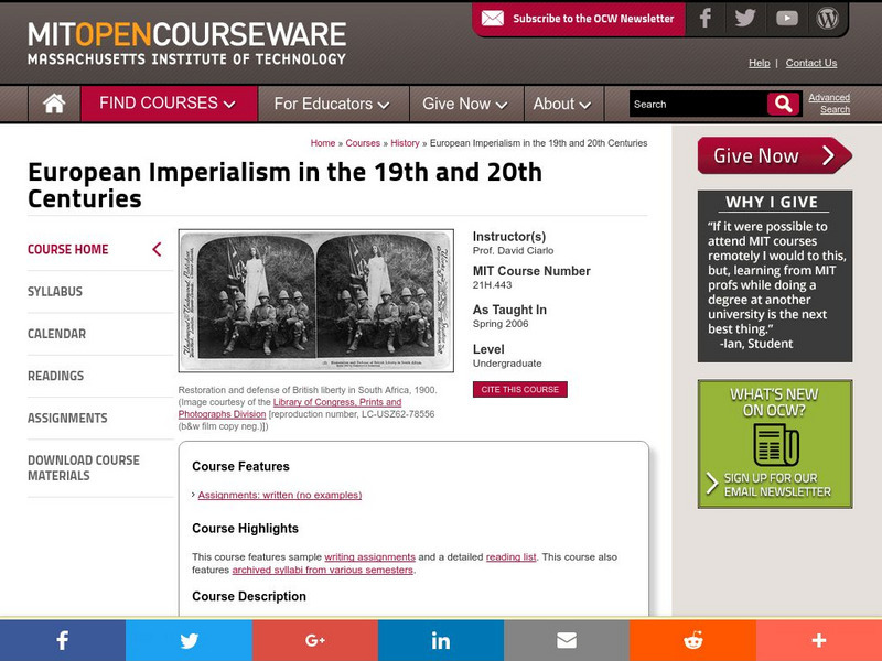
Mit: Open Course Ware: European Imperialism: Nineteenth and Twentieth Centuries
Access university-level course materials compiled for course on European imperialism.
University of Groningen
American History: Outlines: Settlers, Slaves and Servants
This resource provides a brief overview of how many settlers in the colonies were indentured servants and how the system of indentured servitude tied to slavery.
Other
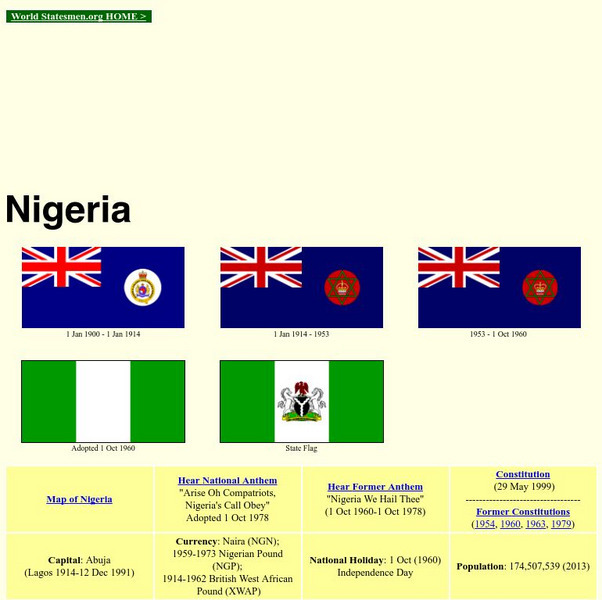
World Statesman: Nigeria
Major dates and people involved in the history of the various regions of Nigeria.
Gilder Lehrman Institute of American History
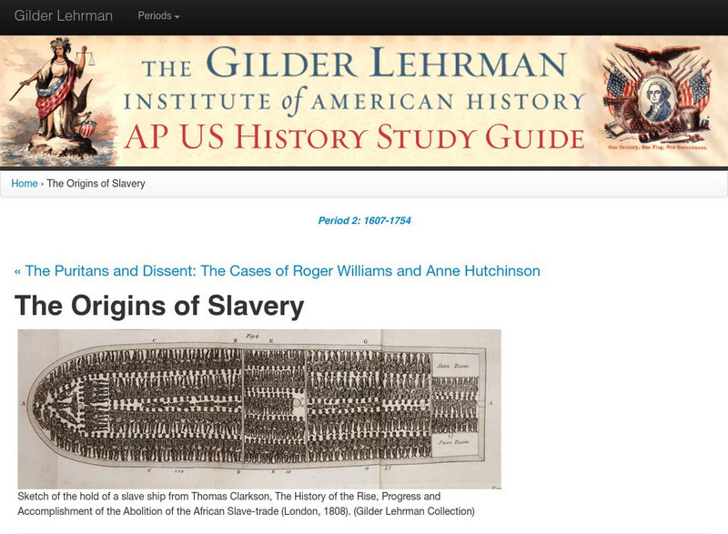
Gilder Lehrman Institute: The Origins of Slavery
Follow the history of the origins of slavery.
Other
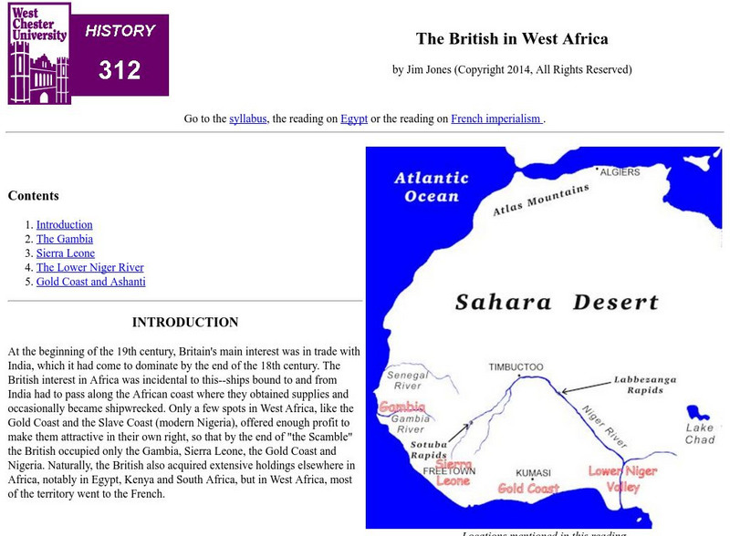
West Chester University: The British in West Africa
The author examines the various areas in West Africa that were colonized by the British during the 19th century. He also examines British reasons for their imperialistic activities.
Open Door Team
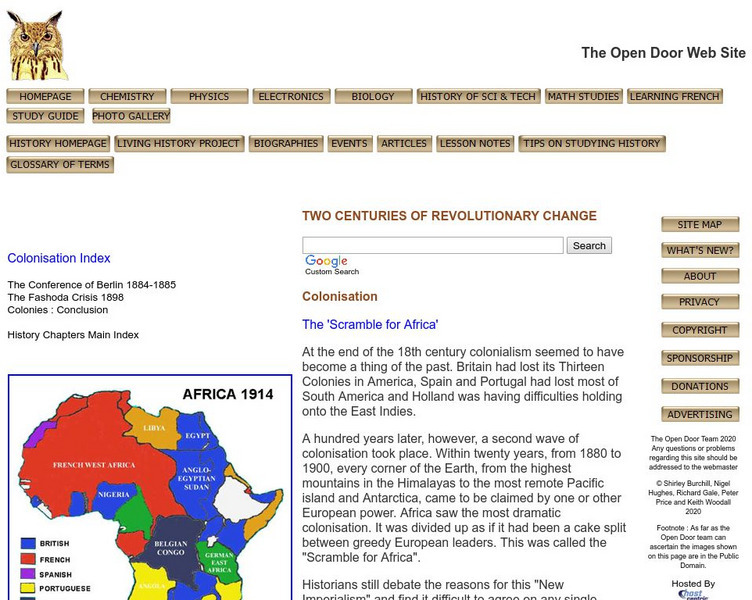
Open Door Web Site: The Scramble for Africa: Germany
Briefly describes the limited role Germany had in the scramble for African territories. A link to a map of colonial holdings during this period of New Imperialism is included.
Curated OER
Unesco: Saint Kitts and Nevis: Brimstone Hill Fortress National Park
Brimstone Hill Fortress National Park is an outstanding, well-preserved example of 17th- and 18th-century military architecture in a Caribbean context. Designed by the British and built by African slave labour, the fortress is testimony...
Curated OER
Wikipedia: National Historic Landmarks in Massachusetts: Paul Cuffe Farm
This site was the home and farm of Paul Cuffee (1759-1817), a wealthy colonial-era African-American merchant. Cuffee was a leading advocate for minority rights in Massachusetts, and a promoter and funder of the resettlement of...
Curated OER
Educational Technology Clearinghouse: Maps Etc: Africa, 1897
Map of Africa in 1897 showing European colonial possessions and spheres of influence, and the independent territories at the time. The map is color-coded to show the areas controlled by the British, French, German, Turkish, Italian,...
Curated OER
Educational Technology Clearinghouse: Maps Etc: Post Wwi Africa, 1920
A map of Africa in 1920 showing colonial possessions of the British, French, Italian, Portuguese, Spanish, and Belgians, including the former German colonies, lost after WWI, per the Treaty of Versailles. This map shows major cities and...
Curated OER
Maps Etc: The Colonization of Africa, 1870 1910
A map showing the European colonization of the African continent before and after the Berlin Conference of 1885, when the most powerful countries in Europe at the time convened to make their territorial claims on Africa and establish...
Curated OER
Etc: Maps Etc: Physical and Political Map of Africa, 1879
Map of pre-colonial Africa, showing the predominately native countries and territories of the African continent in 1879. The counties include the Barbary States of Morocco, Algeria, Tunis, Tripoli and Fezzan, the Egyptian territories of...
Open Door Team
Open Door Web Site: France in Western Africa
A brief explanation of French imperialist desires and holdings in Western Africa.


