Science Education Resource Center at Carleton College
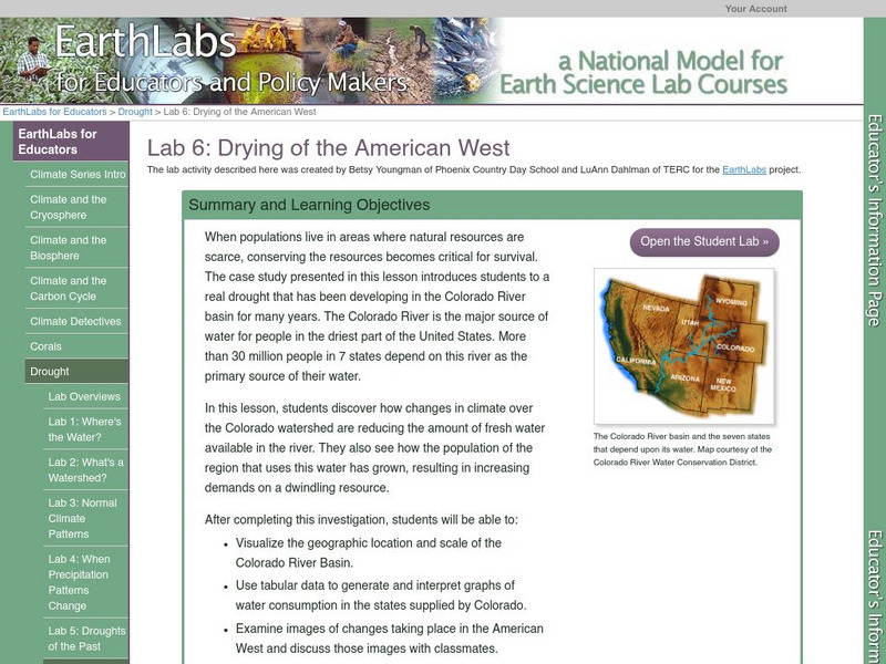
Serc: Lab 6: Drying of the American West
A lab experiment in a series of experiments that explores droughts. This experiment is presented as a case study for the drought conditions in the Colorado River. With this case study, students study the decrease of fresh water...
Other
River Systems of the World
Find statistics about the many river systems of the world. Includes facts such as length, drainage area, cities, notable tributaries, and more. Also provides links to sites about some of the rivers.
Smithsonian Institution
National Museum of Natural History: Paleobiology: Green River Fossil Collections
Search the collection of 35,000 fossiliferous rocks found within the Green River Formation of Colorado and Utah. View some of these 50 million year old insect fossils in a linked slide show.
Smithsonian Institution
National Museum of Natural History: Paleobiology: Green River Insects
Interactive photo search of the collection of 35,000 fossiliferous rocks found within the Green River Formation of Colorado and Utah.
BSCS Science Learning
Bscs: Heavy Metals in Waterways
This inquiry focuses on heavy metals in waterways in Colorado. Students will learn about heavy metals and data collected about them from citizen scientists, and then analyze the data in tables and maps to identify possible evidence of...
Curated OER
Colorado River Toad
Come and check out this educational resource featuring the Colorado River Toad. The content of this site includes information on this species' characteristics, range, habitat, diet, reproduction, and behavior.
Northern Arizona University
Colorado Plateau: Mesa Verde, Colorado
Read about the Anasazi culture at Mesa Verde in the Four Corners area. These were the famous cliff dwellers. Find out about the geology of the area that produced the cliffs.
Ducksters
Ducksters: United States Geography: Rivers
Kids learn about the major rivers of the United States including the Mississippi, Missouri, Rio Grande, Colorado, and the Hudson. Geography of the US.
Discovery Education
Discovery Education: The Grand Canyon
For this instructional activity, students will learn about the Glen Canyon Dam on the Colorado River, the impact it has had on local ecology, and what happens when a dam is opened for controlled flooding. After researching the Glen...
Curated OER
National Park Service: Curecanti National Recreation Area
A fascinating look at the building of the irrigation tunnel that brought water into the arid Uncompahgre Valley in Colorado. President Theodore Roosevelt's interest in conservation and his interest in the National Reclamation Act of 1902...
US National Archives
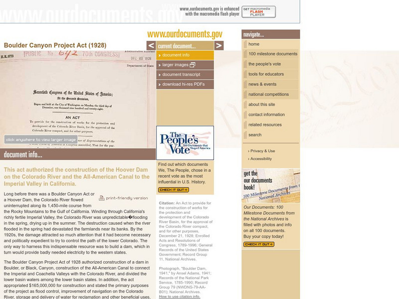
Our Documents: Boulder Canyon Project Act (1928)
Informative site that tells about the act that authorized the building of the Hoover Dam. Read the complete text of the Boulder Canyon Project here.
Other
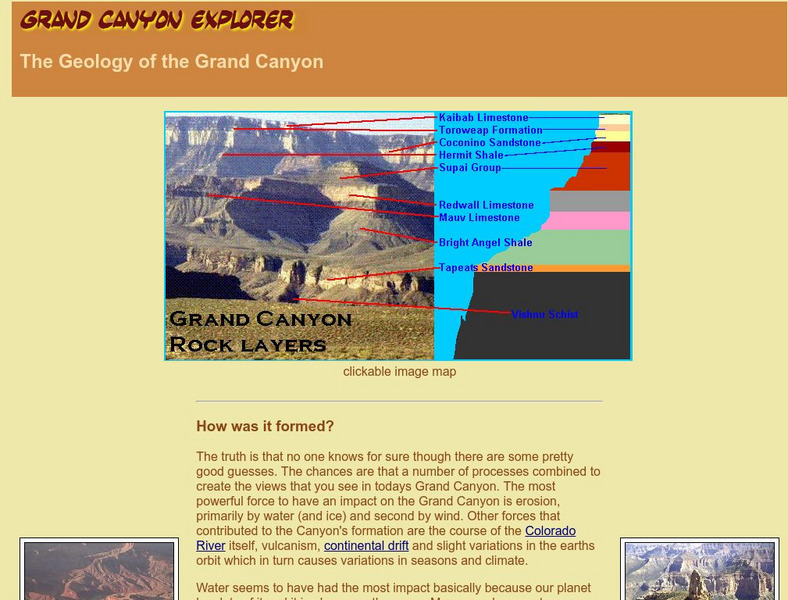
Grand Canyon Geology
Photos, illustrations, 3D graphs and animations are part of this investigation into the geology and landforms of the Grand Canyon. Learn detailed information on the formation of the canyon, the rock layers, and the prehistoric life that...
PBS
Pbs: American Experience: Hoover Dam
The Hoover Dame was viewed as an engineering feat, in the 1930s. This documentary examines the construction and engineering problems that occurred and the questions that arose about the economic and environmental impact this project...
Huntington Library
Huntington Library: Constitution on Trial: Internment of Japanese in Wwii
In this lesson plan, 11th graders look at what happened to the Japanese who were living in the United States during World War II and examine their experiences of internment. They will also consider the constitutionality of removing some...
Curated OER
Educational Technology Clearinghouse: Maps Etc: Colorado, 1911
A map from 1911 of Colorado showing the State capital of Denver, counties and county seats, major cities and towns, railroads, the Rockies and other mountain systems, lakes, and rivers. A grid reference in the margins of the map lists...
Curated OER
Educational Technology Clearinghouse: Maps Etc: Colorado, 1920
A map from 1920 of Colorado showing the State capital of Denver, counties and county seats, major cities and towns, railroads, the Rockies and other mountain systems, lakes, and rivers. A grid reference in the margins of the map lists...
Curated OER
Educational Technology Clearinghouse: Maps Etc: Colorado, 1914
A map from 1914 of Colorado showing the State capital of Denver, counties and county seats, major cities and towns, railroads, the Rockies and other mountain systems, lakes, and rivers. A grid reference in the left margin of the map...
Curated OER
Educational Technology Clearinghouse: Maps Etc: Colorado, 1906
A map from 1906 of Colorado showing the State capital of Denver, major cities and towns, railroads, the Rockies and other mountain systems, lakes, and rivers.
Curated OER
Educational Technology Clearinghouse: Maps Etc: Colorado, 1909
A map from 1909 of Colorado showing the State capital of Denver, major cities and towns, railroads, the Rockies and other mountain systems, lakes, and rivers.
Curated OER
Educational Technology Clearinghouse: Maps Etc: Colorado, 1919
A map from 1919 of Colorado showing the State capital of Denver, major cities and towns, railroads, the Rockies and other mountain systems, lakes, and rivers.
Curated OER
Educational Technology Clearinghouse: Maps Etc: Colorado, 1892
A map from 1892 of Colorado showing the State capital of Denver, counties and county seats, major cities and towns, railroads, mountain systems, lakes, and rivers.
Curated OER
Educational Technology Clearinghouse: Maps Etc: Colorado, 1902
A map from 1902 of Colorado showing the State capital of Denver, counties, major cities and towns, railroads, the Rockies and other mountain systems, lakes, and rivers.
Curated OER
Educational Technology Clearinghouse: Maps Etc: Colorado, 1920
A map from 1920 of Colorado showing the State capital of Denver, counties and county seats, major cities and towns, railroads, the Rockies and other mountain systems, lakes, and rivers.
Curated OER
Educational Technology Clearinghouse: Maps Etc: Colorado, 1920
A map from 1920 of Colorado showing the State capital of Denver, counties and county seats, major cities and towns, railroads, the Rockies and other mountain systems, lakes, and rivers.


