Then Again
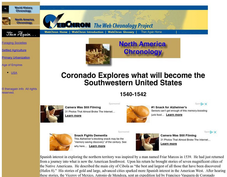
Then Again: Web Chron: Coronado Explores the Southwestern United States
This page details Coronado's expedition, the discovery of the Grand Canyon and the search for Quivira. Click on the map for a closer look at Coronado's Expedition.
Other
Bureau of Reclamation: Hoover Dam
A wonderful, informative site on the Hoover Dam. Find out how the largest dam of its time came to be in this fascinating story.
Read Works
Read Works: John Wesley Powell Maps the Grand Canyon
[Free Registration/Login Required] Students read natural historian John Wesley Powell and his men who worked to create a map of the Grand Canyon. A question sheet is available to help students build skills in reading comprehension.
Read Works
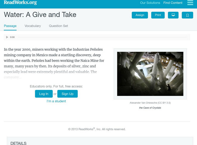
Read Works: Water: A Give and Take
[Free Registration/Login Required] This informational text passage discusses the Cave of Crystals in Mexico and the processes involved in its creation. This passage is a stand-alone curricular piece that reinforces essential reading...
Curated OER
National Park Service: Grand Canyon National Park
The official site from the National Park Service. Includes information to plan a trip there, its geologic significance, its biological diversity, natural features, and ecosystems.
Library of Congress
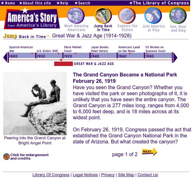
Loc: America's Story: Grand Canyon Became a National Park
The Grand Canyon officially became a National Park on February 26, 1919. This article features actual photos and a description of this historic event.
PBS
Pbs Learning Media: Earth's Systems: The Water Planet
Observe different forms of water and how it covers about 75 percent of Earth's surface in this media gallery captured by NASA and the U.S. Geological Survey (USGS). Use the satellite and ground images in this resource to enhance student...
Kenyon College
Kenyon College: Negative Externalities Bonneville and Glen Canyon Dams
This article examines the impact of the Bonneville Dam and the Glen Canyon Dam, both in the American West, and examines how there has been a negative impact on the surrounding wildlife, peoples, and even Mexico. The article also...
Curated OER
Educational Technology Clearinghouse: Maps Etc: Nevada, 1903
A map from 1903 of Nevada showing counties and county seats, principal cities and towns, mountain ranges, and rivers. "Nevada, one of the most western of the States of the American Union, was formed from a portion of the territory...
Curated OER
Wikipedia: National Historic Landmarks in Wyoming: Expedition Island
Expedition Island is a park in Green River, Wyoming that marks the area where Major John Wesley Powell started an expedition down the Green River and Colorado River in 1871.
Curated OER
Wikipedia: Natl Historic Landmarks in Ca: Yuma Crossing and Associated Sites
A major crossroads for Alta California as well as the Westward expansion of the United States. It has several archaeological and historical sites, shared with Arizona across the Colorado River, including Fort Yuma and other state parks.
Curated OER
Science Kids: Science Images: Hoover Dam
This excellent photo helps capture the incredible size of the Hoover Dam. Completed in 1936, the Hoover Dam is located in the Black Canyon of the Colorado River on the border of Arizona and Nevada in the USA. For more information on the...
Smithsonian Institution
Smithsonian Learning Lab: Landscape Painting
A Smithsonian website plus lesson plans on the art of landscape painting. Includes details on landscape painting techniques to create the illusion of depth and space as well as information on four landscape artists.
PBS
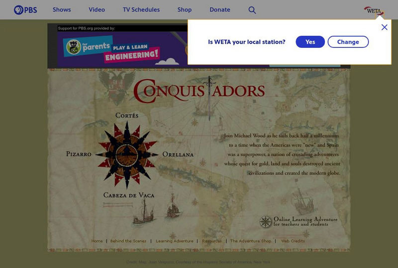
Pbs: The Conquistadors
A huge website that provides a virtual field trip exploring the Spanish adventurers who quested for gold and land in the New World. The site has information on Pizarro, Orellana, Cabeza de Vaca, Cortes as well as extensive information...
Curated OER
Educational Technology Clearinghouse: Maps Etc: Nebraska, 1903
A map from 1903 of Nebraska showing county borders, cities and towns, rivers, and railroads. This map also shows the rock types in the state. "Nebraska, a central State of the American Union, lies between 40 degrees and 43 degrees N....
Curated OER
Educational Technology Clearinghouse: Maps Etc: Colonial Africa, 1899
Map of Africa in 1899 showing the colonial possessions of European powers on the continent established at the Berlin Conference of 1885. This map shows major cities and trade centers, railroad routes and canals, major river systems, and...
Curated OER
Educational Technology Clearinghouse: Maps Etc: Asia, 1899
A map of Asia from 1899 showing country boundaries at the time, foreign possessions, capitals and major cities, rivers, canals, lakes, deserts, terrain, and coastal features. This map shows the principal railways and caravan routes of...


