Incorporated Research Institutions for Seismology
Iris: Seismic Tomography [Pdf]
Learn how seismic tomography imaging helps scientists understand the formation of the Earth's interior.
American Geosciences Institute
American Geosciences Institute: Earth Science Week: Modeling Earthquake Waves
Students model earthquake waves with a slinky toy.
Incorporated Research Institutions for Seismology
Iris: Incorporated Research Institutions for Seismology
This university consortium provides on-going, current information on seismic activity happening all over the world. Of special interest is the Seismic Monitor. Open this page to a full screen to monitor global earthquake activity in real...
Incorporated Research Institutions for Seismology
Iris: Seismic Tomography
Using a technique called seismic tomography, scientists decoded the information contained in seismograms' squiggles to develop this image of an individual slice through the deep Earth.
Incorporated Research Institutions for Seismology
Iris: How Are Earthquakes Located?
This illustrated fact sheet shows how S and P waves each travel at varying speeds and therefore arrive at seismic stations at different times.
Incorporated Research Institutions for Seismology
Iris: Seismic Reflection
A complete lesson on seismic reflection. A video, slide presentation, and practice with solutions are included.
Science4Fun
Science4 Fun: Earthquake
Information about earthquakes including causes and how they are measured.
Other
Ceri: Earthquake Facts and Follies
A list of frequently asked questions about earthquakes. This is a good source for earthquake trivia and separating fact from fiction.
US Geological Survey
U.s. Geological Survey: Rock'n on Shakey Ground [Pdf]
The basics of earthquake science including factual information about how and why they happen. Also includes some hands-on activities and experiments for students.
Columbia University
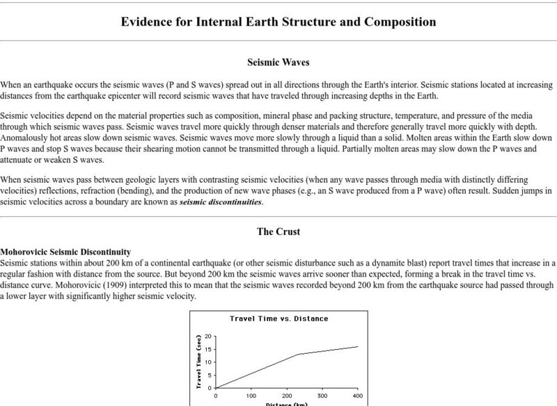
Columbia University: Evidence for Internal Earth Structure and Composition
College-level research information describes how the movement of Earth's interior causes seismic wave activity.
Science Education Resource Center at Carleton College
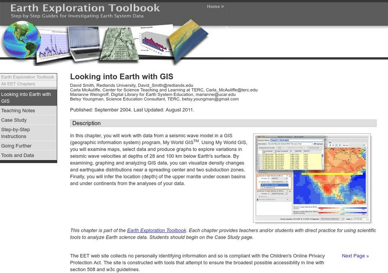
Serc: Looking Into Earth With Gis
Multi-lesson activity where students will work with data from a seismic wave model in a GIS (geographic information system) program. They will examine maps, select data, and produce graphs to explore variations in seismic wave velocities...
Incorporated Research Institutions for Seismology
Iris: Us Array Ground Motion Visualizations
The USArray Ground Motion Visualization (GMV) is a video-based IRIS DMS product that illustrates how seismic waves travel away from an earthquake location by depicting the normalized recorded wave amplitudes at each seismometer location...
National Institute of Educational Technologies and Teacher Training (Spain)
Ministerio De Educacion: Los Cambios en El Medio Natural Ii
In this unit you can learn about the deformation of rocks, magmatism, plutonism and seismic waves. It has 16 interactive activities.
Incorporated Research Institutions for Seismology
Iris: J Ama Seis
jAmaSeis facilitates the study of seismological concepts in middle school through introductory undergraduate classrooms. Users can obtain and display seismic data in real-time from either a local instrument or from remote stations.
Other
Tech Museum: Building for the Big One [Pdf]
This resource presents a project where students design and build structures that can withstand an earthquake. The project can include an extension where students look at the factors of soil type and proximity to fault in their design....
Michigan Technological University
How Are Earthquake Magnitudes Measured?
This website explains how the Richter and Mercalli Scales work.
Michigan Technological University
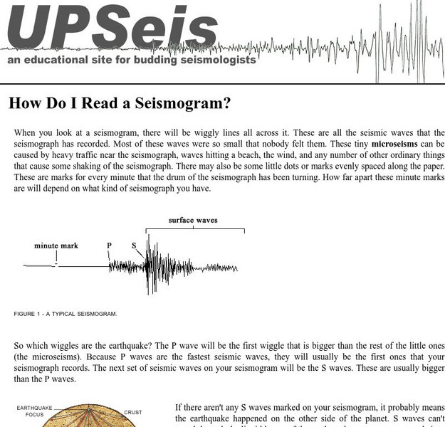
How Do I Read a Seismogram?
When you look at a seismogram, there will be wiggly lines all across it. So which wiggles are the earthquake? This site answers this question.
Indiana University
Indiana University Bloomington: Modeling Liquefaction [Pdf]
This activity allows students to observe a small-scale model of liquefaction, a hazard associated with strong-magnitude earthquakes. The sand, water, and ping pong ball(s) represent the composites of soil: sediment, water, and air,...
TeachEngineering
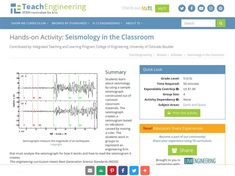
Teach Engineering: Seismology in the Classroom
Students learn about seismology by using a sample seismograph constructed out of common classroom materials. The seismograph creates a seismogram based on vibrations caused by moving a ruler. The students work in groups to represent an...
Australian Museum
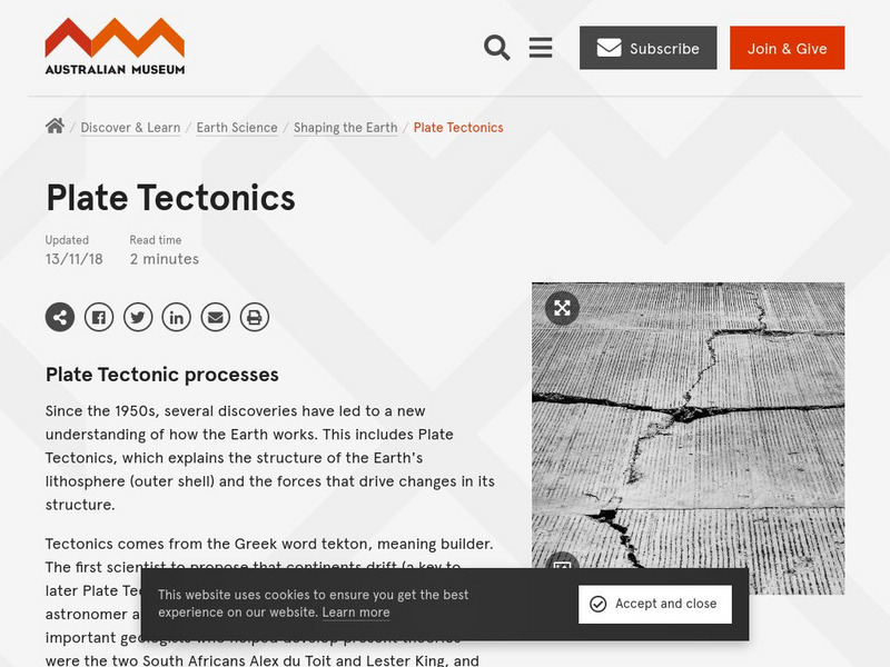
Australian Museum: Plate Tectonic Processes
A comprehensive site on plate tectonics and the Earth. Read how the oceanic and continental crusts, as well as the heat and the pressure within the Earth affect plate tectonics.
University of California
Ucla: Discoverer of the Earth's Inner Core
Described on this site is Inge Lehmann (1888-1993 CE), the female scientist, studied seismic waves generated by deep focus earthquakes, discovered that the earth had an inner core.
Incorporated Research Institutions for Seismology
Iris: Exploring the Earth Using Seismology
Earthquakes create seismic waves that travel through the Earth. By analyzing these seismic waves, seismologists can explore the Earth's deep interior. This fact sheet uses data from the 1994 magnitude 6.9 earthquake near Northridge,...
PBS
Pbs: Anatomy of a Tsunami
Scientists used maps and seismic data to produce a computer simulation that accurately shows the creation of the wave that shook the world. In this interactive, examine some of the models and images that reveal details of the tsunami...
Other
Disaster Pages: The Tsunami Page
FAQs about tsunamis address the reasons they occur and the destruction they cause. Also, learn about systems in place that provide Tsunami warnings as well as the data collected by scientists studying violent earthquakes and seismic sea...


![Iris: Seismic Tomography [Pdf] Graphic Iris: Seismic Tomography [Pdf] Graphic](https://d15y2dacu3jp90.cloudfront.net/images/attachment_defaults/resource/large/FPO-knovation.png)





![Tech Museum: Building for the Big One [Pdf] Lesson Plan Tech Museum: Building for the Big One [Pdf] Lesson Plan](http://content.lessonplanet.com/resources/thumbnails/411264/large/bwluav9tywdpy2symdiwmduymc0xmdm2my0xd3vtenpxlmpwzw.jpg?1589993199)
